
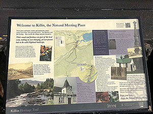
Lochan Breaclaich from Killin
The Lochan Breaclaich from Killin route is a trail and road run within Loch Lomond and the Trossachs. The loop covers a distance of 27.25 Kms ( 16.93 miles )
and has an elevation gain of 756 m ( 2480 feet )
.
Length
27.3 Kms
Elevation
755.9 m
Max elevation
568.6 m
Difficulty
***
Rating
***
Main road
0.2 Kms
Country road
20.3 Kms
Dirt road
4.8 Kms
Dirt path
0 Kms
Trail
2 Kms
;)
Description
Well this is an interesting route that is on just about every type of surface at various points. The first part of the run gives you hill and some more hill before a sharp descent then an undulating return to the start. The return along the lochside road does take away from this route somewhat. That part is nice but after the hill it is perhaps a bit too long a return. Anyway lets talk about this route.
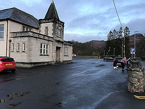
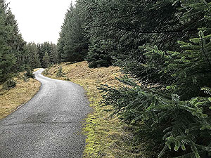
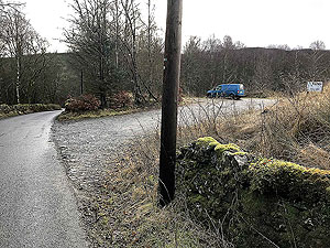
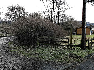
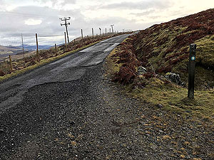
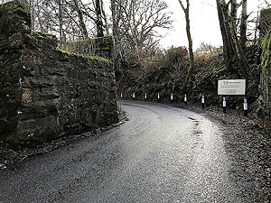
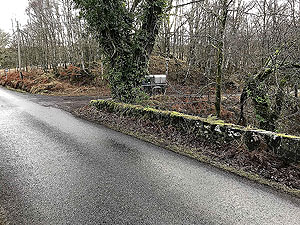
From the car park in Killin head across the main road and take the small road heading left with the St Fillans church on your right. This is Lyon road and keep on this as it curves round to the right. After about
0.2 Kms
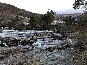
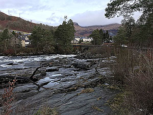
you will see the entrance onto the old railway line which is a dirt road and signposted for Falls of Dochart. Follow this to the bridge across the river and once across join the slightly larger road heading to the right and Falls of Dochart.
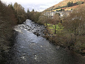
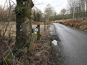
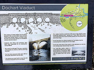
When you meet the main road you will see the pub on the left which you go past before turning left up the small country road. Before heading up that road it is worth taking the opportunity to take in the Falls of Dochart across the road from the bridge.
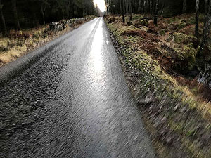
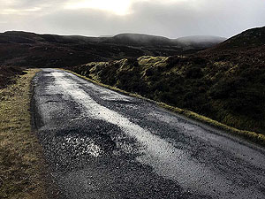
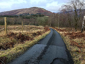
The country road has very few cars on it but do take care. This has a gradual climb, but after
2.8 Kms
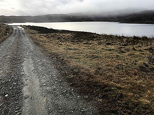
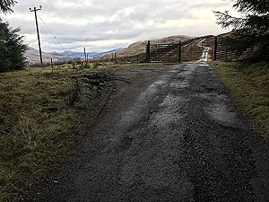
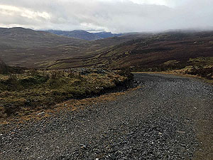
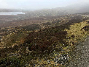
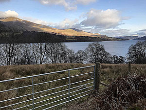
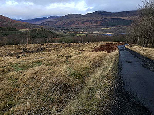
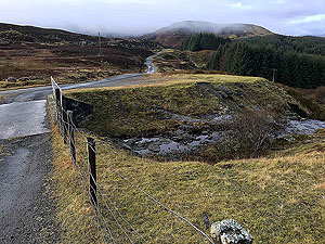
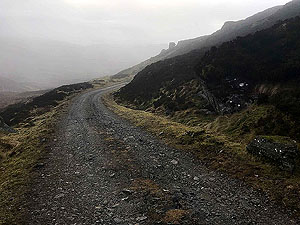
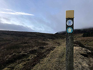
the route crosses a small bridge and then heads up to the right on the sign posted Rob Roy route. The signpost is on the left of the road and can be easily missed. The road you are taking is also tarred and you are on the main part of the day's climbing. This is one of those tough inclines that is never too steep, but just keeps coming at you. The views are nice if not spectacular and you eventually arrive at the reservoir and close to the highest point of the run. Just after the reservoir the road changes to a dirt road and after a short distance the descent starts.
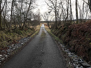
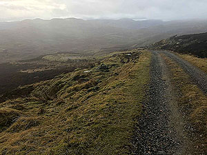
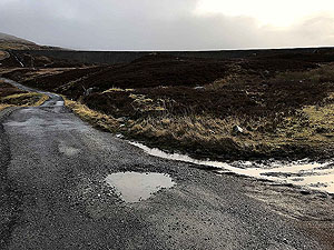
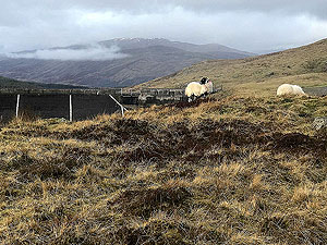
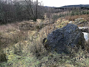
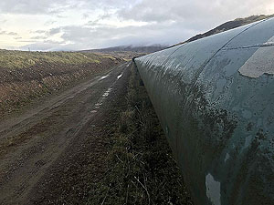
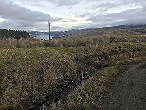
The first part of the descent in nice and you are really out in the open with some lovely countryside. A large water pipe appears by the side of the path and this is where the route has a sudden change. At the point where the pipe turns right up the hill, you turn left leaving the path and crossing the ditch. This is sign posted again for the Rob Roy way.
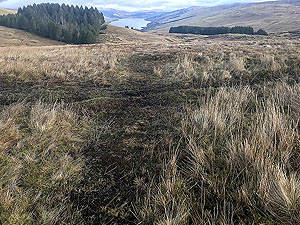
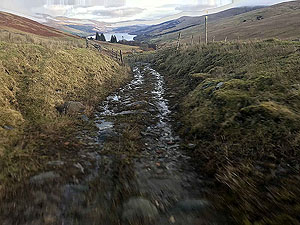
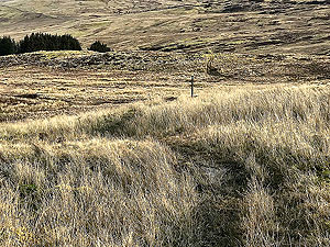
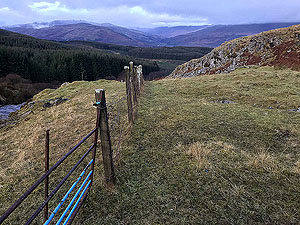
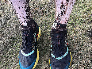
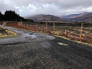
This part is marked with signpost markers across the open fields. Staying on the path if there is actually one is difficult. The map shows how we went and we did enter several really boggy sections. This is all downhill and is really enjoyable, but this is where you are glad you didn't go for pure road trainers. A gate after a small burn gets you onto a dirt road near to the farm. The road becomes tarred near to the activity centre and from that point all the way back to Killin.
Getting to the bottom of the hill brings you onto the small loch side road which you turn left onto and all the way back to Killin. After the hill this is a bit dull, though nice enough in it's own right. This is very undulating and can take it out of your already tired legs. You eventually meet up with the route you came out on. Once back at the Dochart Falls Inn pub follow your steps back to the car park.
Interestingly the park behind the car park is used as the start and finish for the wonderful Killin 10K that takes place each year around August.
Details last updated in February 2020.
Route images
Directions
×