
Glen Shira to the dam
The Glen Shira to the dam route is a small (private) country road run within Loch Lomond and the Trossachs. The out and back covers a distance of 26.67 Kms ( 16.57 miles )
and has an elevation gain of 337 m ( 1106 feet )
.
Length
26.7 Kms
Elevation
337 m
Max elevation
388.7 m
Difficulty
***
Rating
***
Main road
0 Kms
Country road
26.3 Kms
Dirt road
0.4 Kms
Dirt path
0 Kms
Trail
0 Kms
;)
Description
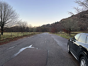
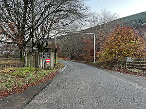
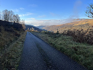
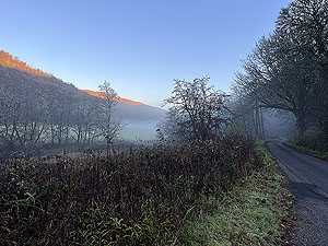
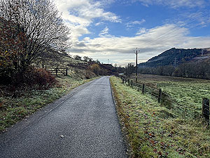
Well this was a run that wasn't how we expected it to be. Firstly this is very easy to follow and it is nearly all on tar so no need for those trail shoes- our first error. A cold Friday morning in Novmeber saw us head off with the sun only hitting the top of the hills on our left. Basically that remained the same for most of the run, so cold it stayed.
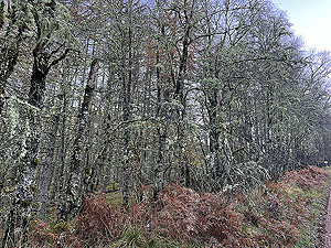
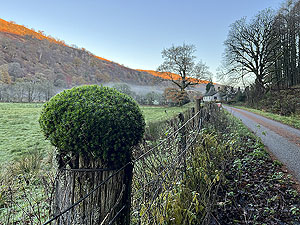
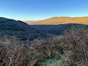
A nice glen but we were starting to find it a bit dull and rather flat, too flat. The lichen on the trees is heavy, so a good sign of air quality and various wild life was there to keep us occupied on the flat tarred road and then...
6.5 Kms
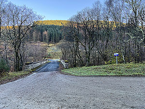
marks the start of a change, and although still a tarred road we start to climb and basically this continues to the end of the route. Be careful what you wish for. At about 8.5 Kms
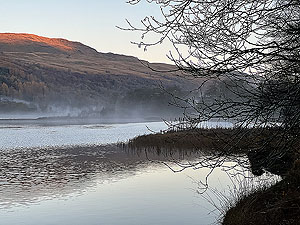
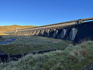
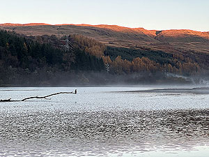
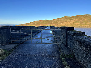
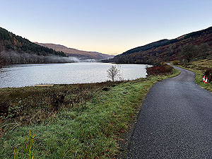
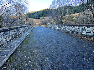
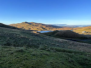
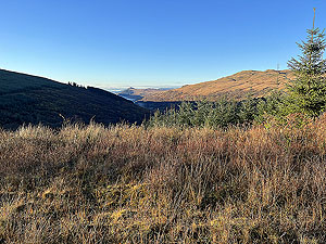
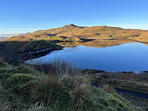
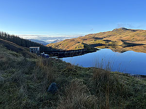
your turn off to the left over a bridge following SSE signs to the power station and dam. Even better for us it took us into the sunshine for a short while and how things improved. The views all the way down to Inverery and Loch Fyne, our pictures don't do it justice. At the top there are two dams where the views are again wonderful. We ran the short dirt road to the top dam, but that was basically a waste of effort. So back we go in the knowledge that it's all downhill. Hmmm By the time we were returning a bike had appeasred at the side of the road without anyone there - common for the hillwalkers appartently to cycle in to the start of the walk up the munros here. We resisted the temptation to borrow and continued the run. A long downhill on tar is not our favourite type of running. There are several dirt tracks heading off from the tarred road, including one of the wind farms. Perhaps another day when the sun is shining on the east side of the glen. We had hoped to get some pictures of Garron Bridge, but there is no pavement to get there even though it is short and the cars are zooming along that road.
Details last updated in November 2023.
Route images


Directions
×