
Glencoe Marathon
The Glencoe Marathon route is a trail run within North & Grampian. The point to point covers a distance of 41.2 Kms ( 25.6 miles )
and has an elevation gain of 1791 m ( 5876 feet )
.
Length
41.2 Kms
Elevation
1791 m
Max elevation
547.4 m
Difficulty
*****
Rating
*****
Main road
1.5 Kms
Country road
2.2 Kms
Dirt road
14 Kms
Dirt path
16.8 Kms
Trail
8 Kms
;)
Description
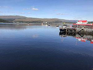
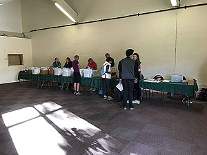
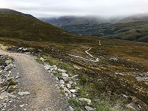
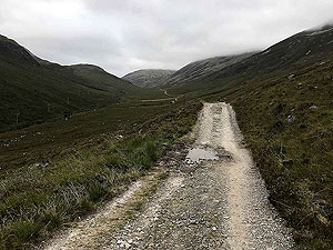
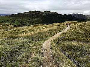
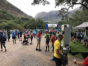
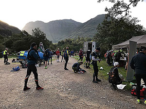
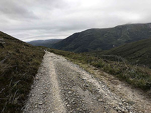
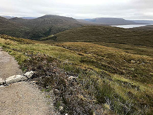
This is an interesting race to comment on as the route has changed a little over the years. The route shown on the map and GPX download are for 2026. Good news for those staying in Fort William as the race now starts there and you avoid the early morning bus to the start line. Coffee and tea available along with a quick registration process. The bad news is that this new route misses on one of the best start lines possible. Have a look at the pictures.
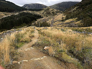
The race starts straight onto the trails and you are soon onto a long forest road with a lot of climb. Nothing too steep but this first
6 Kms
is worth preparing for and it does give you a flavour of what is to come.
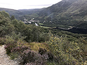
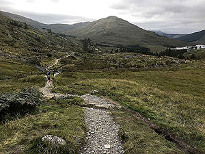
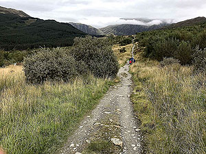
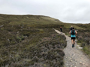
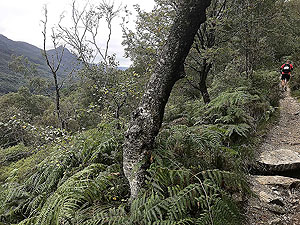
After the first climb the route follows a trail off to the left which is small and undulating till Lundavra where one of the feed stations are Feed station 1. As you are on the West Highland Way you can expect to meet lots of walkers along the way. Most walkers take the route to finish in Fort William. The route starts to broaden and eventually turns into a Landrover style road with lots of wet sections on which you will pass Feed station 2. We have ran this section many times and do find it rather uncomfortable with all the loose stones.
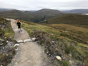
At about
23.5 Kms
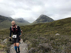
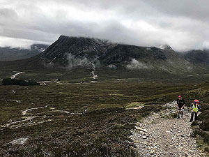
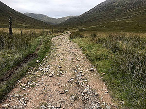
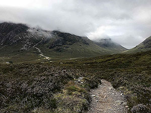
you start the steep descent into Kinlochleven. This is a narrow trail so take care and watch out for those walkers who are coming up the way. Kinlochleven has toilets along with Feed station 3 and is rather relaxing , but beware of what lies ahead.A short run alongside the river takes you to the killer part of the race and the climb to the top of the Devils Staircase. This invloves a distance of
7.5 Kms
with about 530 m
of climb. Perhaps worth considering walking parts of this. However, the trail is good quality and once at the top your have wonderful views across Glen Coe. Of course you now have the downhill on the Devils Staircase all the way down to where the trail runs alongside the main road at 36 Kms
and also Feed station 4.
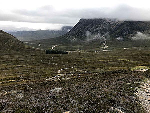
Although the route stays close to the main road the beauty of Glencoe is staggering. Just before the Kinsghouse hotel the route turns to a small tarred road that takes you over the main road and up a final incline and Feed station 5 up to the finish line at the Glencoe mountain resort centre.
Not a race for a PB, but you knew that anyway. A real tough marathon and one for the bucket list even allowing for the change in direction compared to the 2019 event.
Most of the pictures on this page are from when the route went from the Red Squirrel camp site to Fort William, so the opposite direction for this route.
Getting in
This is generally an easy race to get into right up until a few days before the event.
Getting there
Most of the runners choose to stay in Fort William where the registration is and also the finish line. Fort William is easily accessible by road, but also has good rail links including direct to London Euston.
Pre Run
No pre runs but there are some nice routes around Fort William.
Start
Locharber Leisure Centre, Fort William.
End
Glencoe Mountain Resort
Finish
Along with collecting the medal there is ammple parking at the centre and a cafe. There is also the opertunity to take a pre-booked bus back to Fort William... well it would be a tough walk back.
Staying
As mentioned you can stay at the camp site but Fort William does offer a good selection of places to stay.
Details last updated in March 2026.
Cost
The cost for runners in 2026 is £75.
When
The race is held in the first half of September.
Entry Opens
Entry opens at the start of the year.
Web site
Race size
300
Less than 200 people started the race in 2025 with 6 not finishing.
Last ran by us
2019
Route images
Directions
×