
Glen Affric loop
The Glen Affric loop route is a country road, trail and forest road run within North & Grampian. The loop covers a distance of 39.25 Kms ( 24.39 miles )
and has an elevation gain of 686 m ( 2251 feet )
.
Length
39.3 Kms
Elevation
686 m
Max elevation
321.8 m
Difficulty
****
Rating
****
Main road
0 Kms
Country road
10.6 Kms
Dirt road
19.8 Kms
Dirt path
0 Kms
Trail
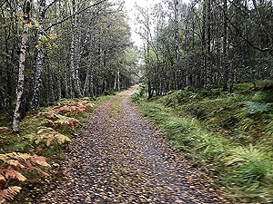
8.9 Kms
;)
Description
A running route in Glen Affric on mixed surfaces using the north sides of Lochs Beinn a Mheadhoin and Affric and returing on the south side using the Affric Kintail trail route.
First part of the route for
8.9 Kms
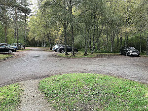
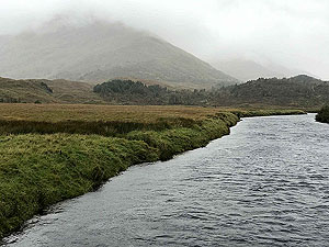
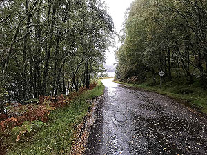
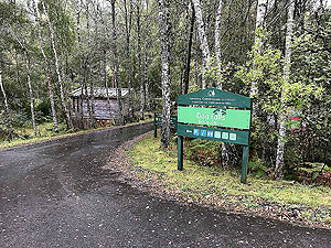
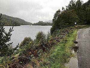
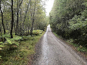
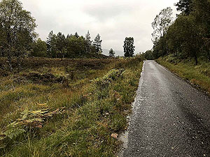
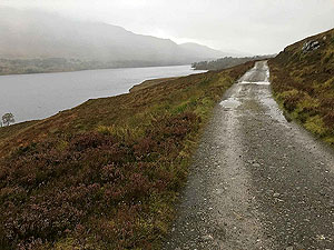
is on a small single track road between the Dog Falls car park and the Glen Affric car park. During our run we were only passed by one car but we understand that during tourist peaks there will be much more cars. So take care and keep to to the side and avoid using headphones. The views of the loch are more frequent on the north side than they are on the south so make sure you take time to take it all in.
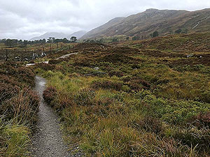
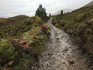
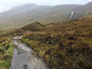
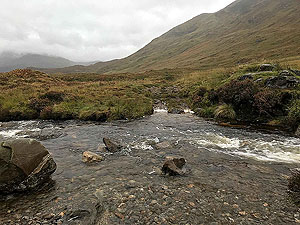
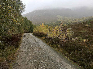
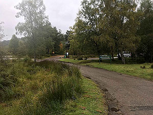
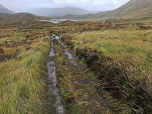
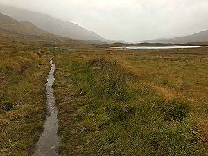
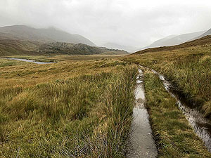
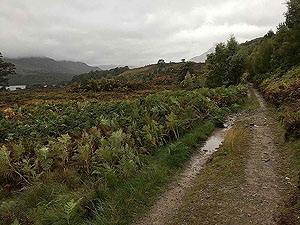
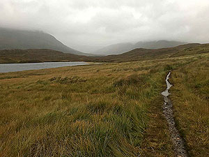
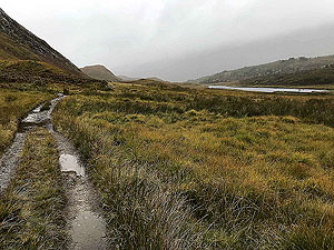
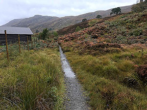
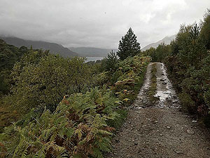
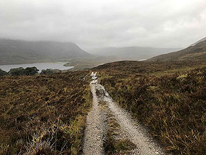
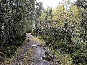
At the end of the tarred section beside the Glen Affric car park you start running on a dirt road. This follows the river and start of Loch Affric before coming up to Affric Lodge. This area is fenced off but a trail route is clearly signposted to take you around the perimiter of the lodge buildings. Once past the lodge you are onto 4x4 style paths of a variety of quality. The path crosses bridges, takes you through fords and at times presents you with some good technical running. Parts can be slippy and fords can be deep so no dry shoes at the end of this part. Golden eagles can be seen in this section and the remoteness of it all is pure bliss.
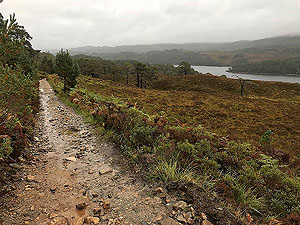
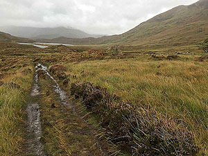
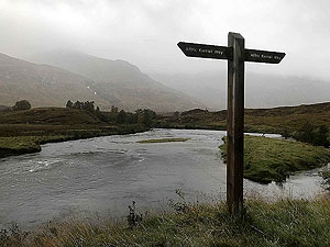
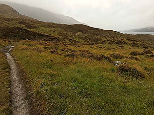
At
19.5 Kms
you reach the Affric Kintail trail. You can add distance by heading off to the right in an out and back (we did), but otherwise take the path to the left and start to head back on the south side of the lochs.
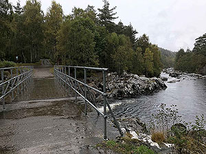
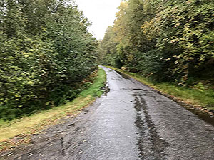
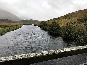
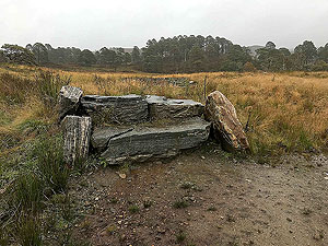
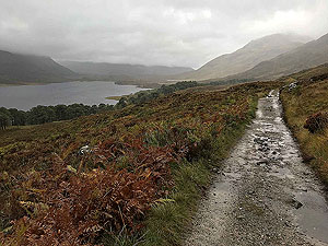
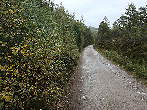
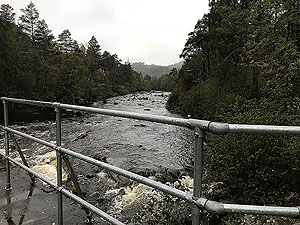
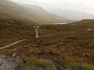
You soon reach the bridge over the river and the bothy. We did stop on the bridge and againt the isolation is something else. Jsut after the bridge you come to another ford. There is a small footbridge to the left that can be used when the stream is big and we did use this bidge. The route now becomes good quality though the views are sometimes hidden by all the trees.
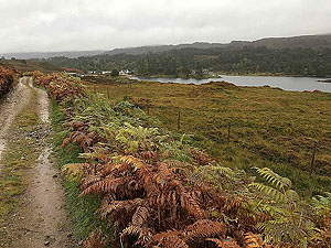
After Loch Affric at
27.7 Kms
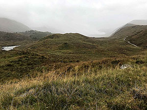
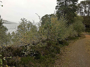
you come to a tee junction where you keep to the right to follow the Affric Kintail way. From this point you are mainly in the trees even though you are right beside the loch. You do get glimpses of the views but nothing spectacular unless you are willing to visit marked view points towards the end of the run.
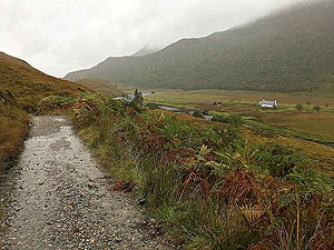
The route finishes with a sharp uphill and then downhill back to the bridge beside the car park. This Loch Affric loop only is also on this site at a much shorter distance and is the best of the route. Loch Affric loop
Details last updated in October 2020.
Route images
Directions
×