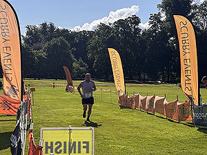
Devilla Trail Half Marathon
The Devilla Trail Half Marathon route is a forest trail run within Central & West. The loop covers a distance of 20.67 Kms ( 12.84 miles )
and has an elevation gain of 180 m ( 591 feet )
.
;)
Description
Our first run at a Scurry Events race and it was a cracker. They even organised sunshine after a few cloudy days.
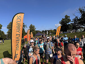
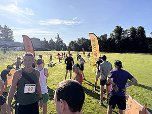
The whole race day has a nice relaxed vibe about it even although there are several races on the day. Once you go to the registration tent you are given number that is coloured to your particular race. All the signs you see
on the route relating to your race are coloured the same. No need to panic when the blue sign tells you it is 5km when the Garmin is saying 15Km.
There are two water stops on route and in 2026 we were really glad to reach the second one. Should really have run with a hydration vest, but who knew the sun would be out.
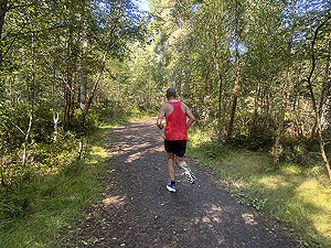
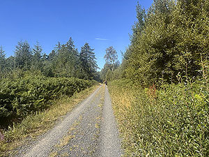
The route itself is a real mix of terrain. Starting on a nice grass field you are quickly onto a trail where the tree routes are hard to see with lots of runners beside you. However, it changes many times over the course of the race. Some parts are narrow and low level technical, while others are wide forest roads. The interesting thing is we thought we were going uphill much more than the Garmin recorded - others felt the same in that there was more up
than down - which is nonsense of course. Don't panic about getting past other runners if the trail is narrow, an opportunity will come up quickly on a more open section.
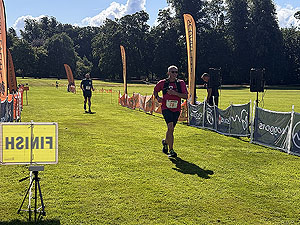
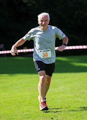
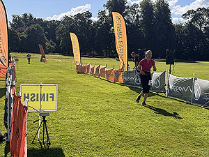
There are some lovely views along the way as well. The last section of the race is across the grass which is a pet hate or ours as the legs just turn to jelly. Here though it wasn't the case and it was a very enjoyable
finish to say the least. The half marathon route was well marshalled and lots of signage along the way. A huge thanks to all the marshals on this one, the positive encouragement and a smile go such a long way.
Getting in
Easy to get in and our records show that it usually opens around March for sign up. (Keep checking on our Find A Race page).
Getting there
We drove, which took us about 75 minutes. As the race starts in the grounds of a police college you have to go through a barrier check point on the way into the parking. Lots of parking available and since the half starts a little
before the other races you can beat the bulk of the crowds.
For this one we are not sure of how easy to get to on public transport, so for that that it will be Google maps.
Start
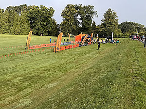
Nice start line on the grass. Toilets available in the main building and a van is available for coffee and snacks.
End
Back where you started. Although the last few 100 metres are on grass it's rather firm and not the usual soggy stuff that kills your legs.
Finish
Nice friendly atmosphere. Metal metal and a buff in addition to water, snacks and bananas. Race results online come within the day as do lots of pictures, though usually through the Facebook group.
Staying
Not sure on this on at all and we didn't pass anything close by. However, given the location there will plenty places a short drive away.
Cost
Cost in 2026 was £33
When
August
Entry Opens
Early Spring
Web site
Race size
100 Based on 2026 numbers
Last ran by us
2026
Route images