
Run from Cardross to Helensburgh
The Run from Cardross to Helensburgh route is a trail and small country road run within Loch Lomond and the Trossachs. The point to point covers a distance of 18.96 Kms ( 11.78 miles )
and has an elevation gain of 474 m ( 1555 feet )
.
Length
19 Kms
Elevation
474 m
Max elevation
493.5 m
Difficulty
***
Rating
***
Main road
1.8 Kms
Country road
7.3 Kms
Dirt road
4.9 Kms
Dirt path
0 Kms
Trail
5 Kms
;)
Description
After strong positive feedback from our fist route utilising the rail network we have now landed the second route.
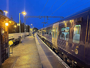
This time starting from Cardross stationand completing at Helensburgh central station.
A mix of running surfaces with a fair bit of climb along the
19 Kms
of the route length.
We arrived at about 8am to a station busy with kids waiting on the opposite platform for the train to Helensburgh and school.
A wee bit of stretching outside the station before heading up
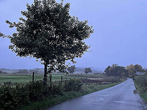
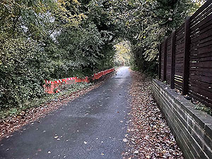
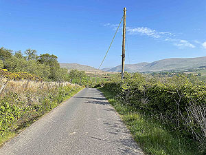
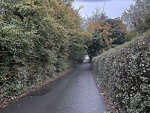
the street towards the main road. This is a small village but the pavements are good for this
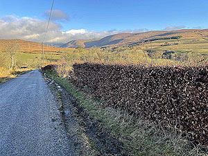
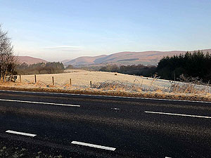
short section through the village. We are soon on a typical small country road on which we were passed by only one car.
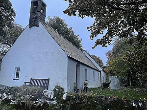
This road takes you up past St Mahew's Roman Catholic Church. The following taken from thier web site. "The chapel of St Mahew, built in 1467 and restored in 1955, stands on one of the earliest Christian missionary sites in Scotland (6th Century). Today it is the church of the Catholic parish of St Mahew's and is in regular use for the celebration of Mass". Here is the link if you want more information. St Mahew's web site.
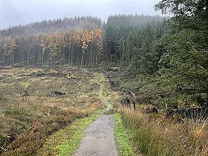
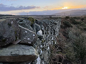
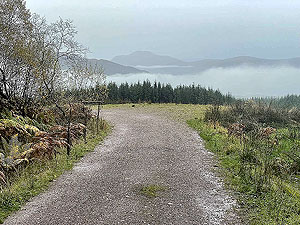
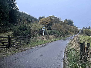
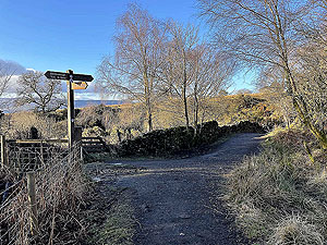
The road comes to an end at a tee junction and from there you are onto the Coffin Road. Couldn't make it up could you. There is a signpost at the start of this road giving you all the information you need about the strange name of the road. A short uphill takes you to the farm and from there you are on dirt road and starting the long steady climb around the side of Ben Bouie.
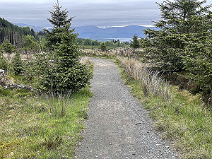
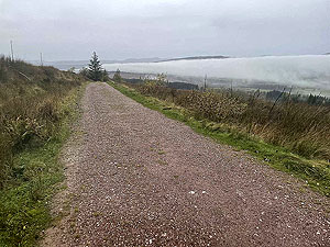
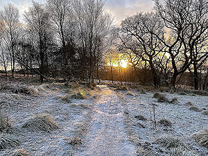
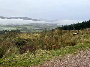
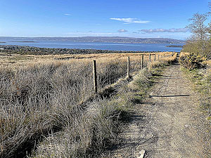
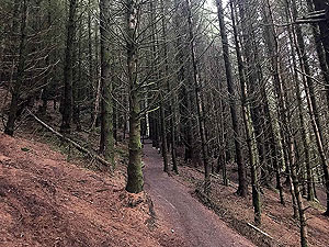
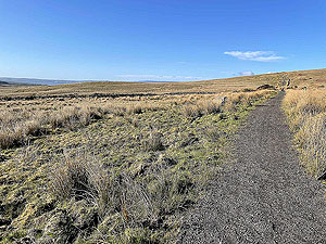
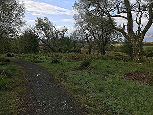
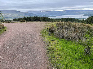
The dirt road gives way to more of a trail and from this point you are rewarded with views over Loch Lomond. Beware though as the spooky wood (as it is known locally) awaits you and in it the steepest part of the run. Steep it may be but long it isn't and you are soon back on dirt read heading downhill for a long stretch. This part offers some of the best views including over Loch Lomond towards Ben Lomond.
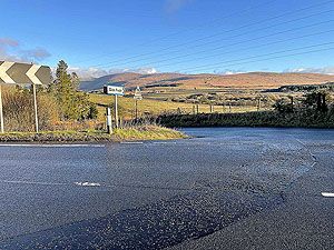
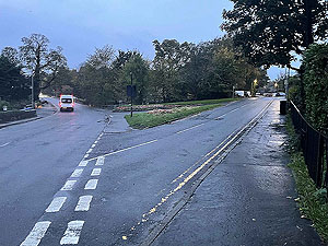
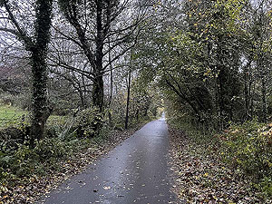
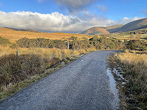
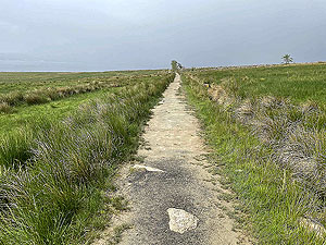
At the bottom of the hill you meet the main road, A818, and join the cycle track heading towards Helensburgh. For this route we turned right into Glen Fruin but you could stay on this road all the way to Helensburgh station if you wanted to reduce the length. Glen Fruin is a lovely place to run on the single track road that has very few cars on it. This is part of the 3 lochs ways and after about
2 Kms
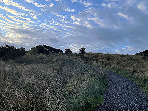
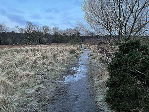
you leave the road and follow the trail on the right up over the hill towards Helensburgh.
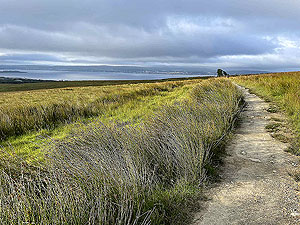
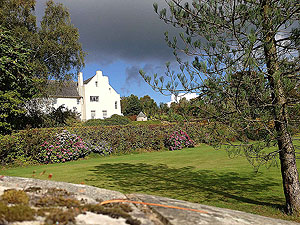
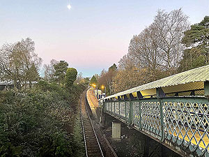
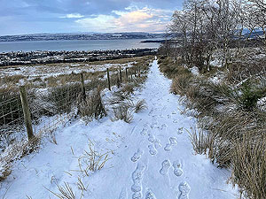
The trail finishes at the famous Hill House and from there you are onto the local pavements for a totally downhill stretch towards the railway stations. There are two main ones in Helensburgh, with upper being on the west highland line. There are few trains from the upper station so check times if planning on using this one. The central station has a service via Glasgow to Edinburgh every 30 minutes.
Details last updated in November 2021.
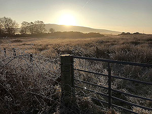
Route images

Directions
×