
Ben Ledi trail run
The Ben Ledi trail run route is a trail and dirt road run within Loch Lomond and the Trossachs. The loop covers a distance of 10.06 Kms ( 6.25 miles )
and has an elevation gain of 804 m ( 2639 feet )
.
Length
10.1 Kms
Elevation
804.3 m
Max elevation
879 m
Difficulty
***
Rating
***
Main road
0 Kms
Country road
1.5 Kms
Dirt road
0.7 Kms
Dirt path
5.1 Kms
Trail
2.8 Kms
;)
Description
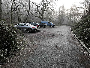
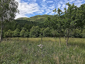
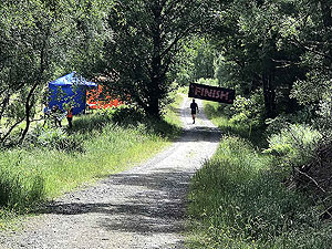
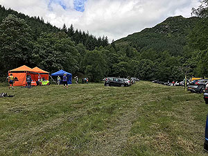
Ben Ledi is just outside of the village of Callander and its location makes it a very popular walking route. If you like solitude, then this is not the route for you. We first did this run during the old Ben Ledi hill race that used to be held up to 2017 and it's a cracker. The route described here is slightly different from the race as we take advantage of the small car park that's available rather than the field that was used for the race.
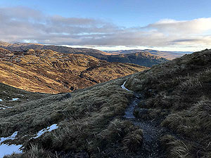
Once you are parked up you have a short distance on the small tarmac road before heading up hill on the well sign-posted trail route up the hill. This is one of those routes where it's all uphill with only the occasional and short sections where it levels off.
Just before the
1 Kms
mark the route crosses one of the forest roads. The sign informs you that the route to the top is not sign-posted from this point, but the path all the way up is good. Sections of the route from this point are stone stairs which can get very slippy especially on the way down if you decide to just come back the way you went.
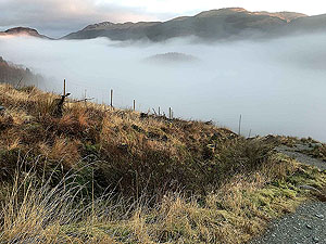
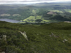
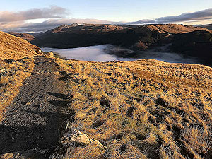
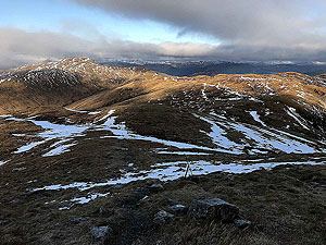
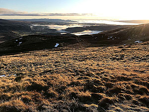
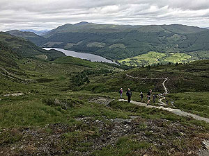
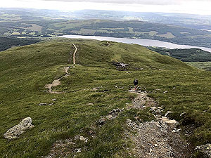
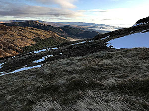
All the way up the views are great. You see lochs Venachar and Lubnaig and if you look to the east you will see Stirling castle and the Wallace monument. The strange part of this is the views seem better lower down compared to the top.
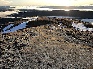
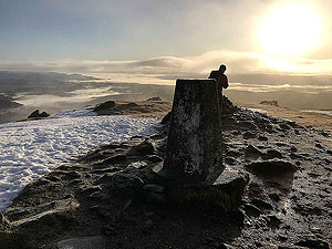
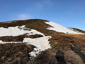
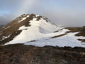
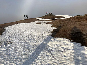
The route climbs and heads south before turning back north and up to the top. Although the climb is relentless it's not too tough and a wee rest lets you take in the views. The top has its usual trig point and on this one a cross dedicated to a lost life from the mountain rescue people. The chances of getting the top to yourself are slim unless you are starting off really early. This is a popular route for the walkers after all.
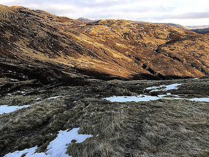
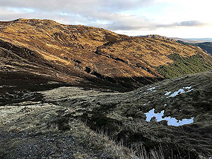
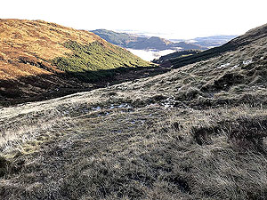
Continuing the route from the top starts of a whole new challenge as for the most part the path is not obvious. The route becomes very boggy in parts and in all our attempts so far we have ended up on our backside at some point. This goes on for about
2 Kms
to 3 Kms
and is actually good fun so don't let it put you off. The route heads northwest before turning to the right and heads east back towards Loch Lubnaig.
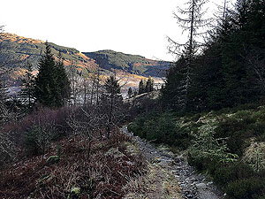
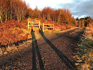
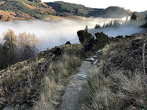
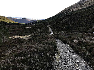
A style over the fence marks the end of the faint route and from there a better path gradually improves downhill until you cross the forest road. After crossing the road you descend on a trail again through what used to be forest. This short section has a fair path but be careful as it does get slippy and is full of tree routes. During the days of the Ben Ledi race this was a favourite area for photographers.
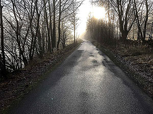
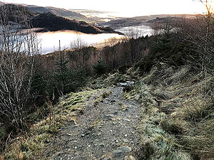
The short trail section puts you on to a good quality forest and from there all downhill onto the tarmac rood outside the small forest village. A right turn onto this road leads you back to the car park after about
2 Kms
.
Details last updated in December 2019.
Route images

Directions
×