
Ben Bouie hill run
The Ben Bouie hill run route is a pavement, small road and trail run within Central & West. The loop covers a distance of 24.56 Kms ( 15.26 miles )
and has an elevation gain of 579 m ( 1901 feet )
.
Length
24.6 Kms
Elevation
579.4 m
Max elevation
267.6 m
Difficulty
***
Rating
***
Main road
2.4 Kms
Country road
9.1 Kms
Dirt road
6.5 Kms
Dirt path
0 Kms
Trail
6.6 Kms
;)
Description
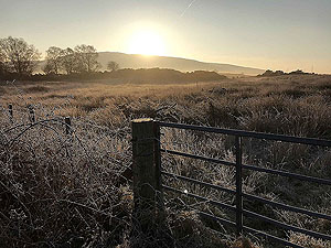
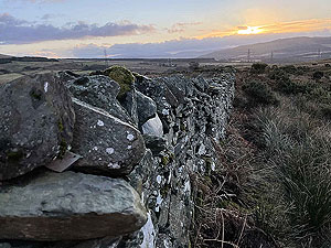
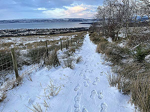
This route starts from the Kidston Park in Helensburgh. A lovely place for a car park and it offers some great picture opportunities
especially during sunrise and sunset.
This route can start just about anywhere in Helensburgh as it is a loop going right through the town. The route we have drawn up makes the most of
the journey through Helensburgh, but you can of course keep to the main road along the front which is shorter but rather dull when on the east side of the town.
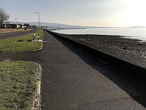
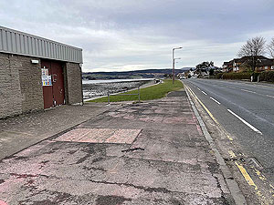
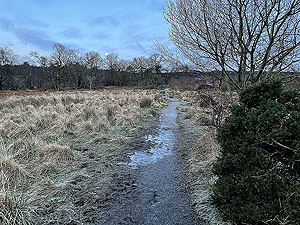
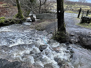
The route leaves the car park and takes the footpath back towards Helensburgh along the side of the River Clyde.
After about
1 Kms
runnning along the wide shore side pavement we headed up Suffolk Street which is marked with a small water treatment plant on Clyde Street.
Just before the hotel on the left. This allows us to run up four blocks and right onto West Argyle Street and the blossom trees in April / May time. We then take one more
block uphill before heading into the lovely, but small, Hermitage park. Keep to the paths on the right and head towards the eastern exit. You are now on East Montrose
Street before a couple of turnings take you round the local cemetery.
After running under the railway bridge a short section of small road in a housing estate leads you to the start of the route proper. This is at about
4.9 Kms
.
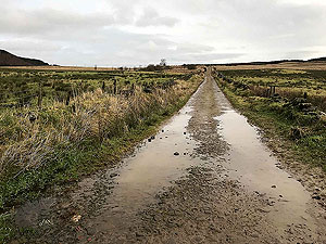
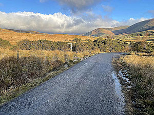
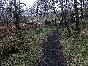
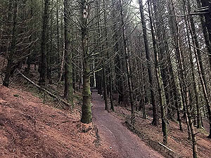
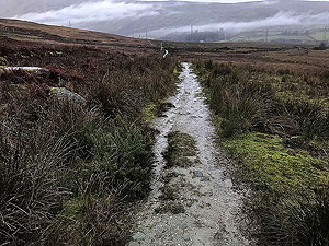
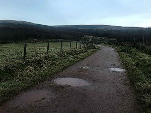
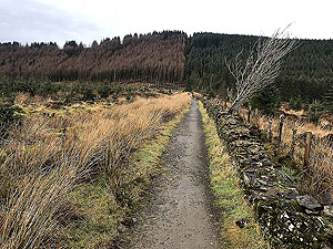
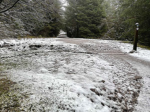
This one lane road means the start of the climbing and goes quickly from tar to dirt and finally trail. The trail section is short and you are soon out on
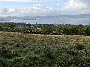
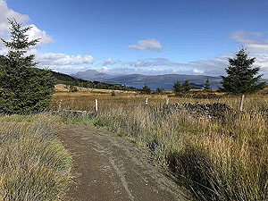
dirt road again and still heading uphill. You do get some stunning views on this section across the Clyde. You can ignore the main road and keep on the steep trail uphill
which gives you a shorter route.
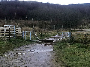
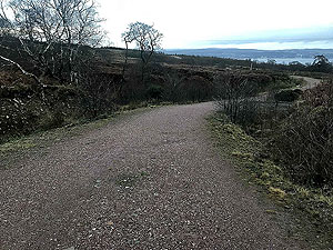
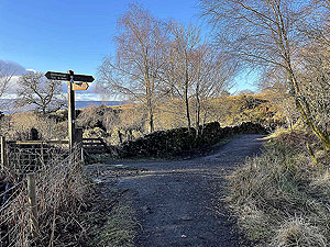
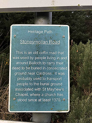
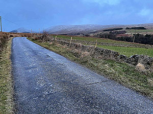
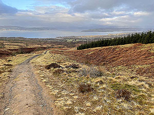
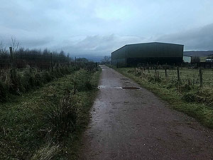
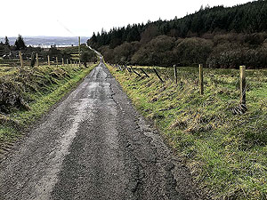
The dirt road leads up and round the side of the hill before descending to the small tarred road of Stoneymollan, also known as the Coffin Road.
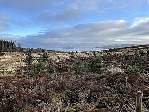
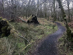
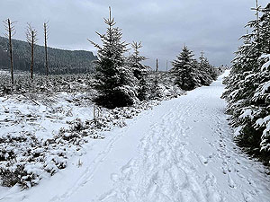
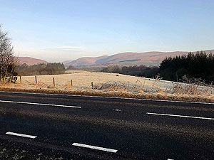
We have a short section on tar before going back to dirt road at the farm and a long gradual climb. The views change from the Clyde to Loch Lomond
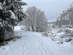
and the start of the steepest part within the Spooky woods. Once out of here you can shortly look forward to a lot of downhill.
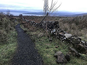
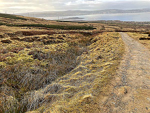
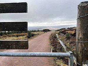
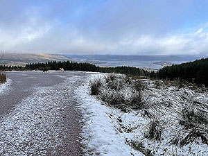
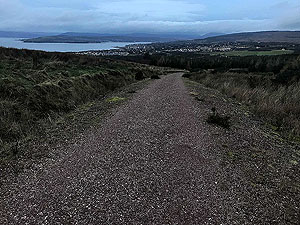
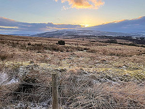
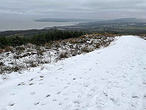
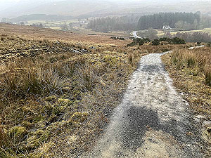
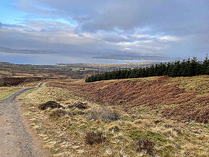
At about
12.7 Kms
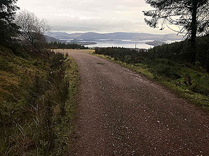
you have a lovely picture opertunity looking over Loch Lomond. Hope for some sunshine. The dirt road decends all the way to the
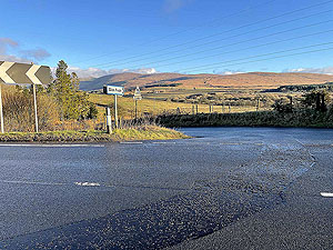
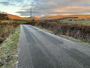
main road, A818. We take the cycle path on the left running alongside the main road before arriving at the entrance to Glen Fruin at 16.6 Kms
. This
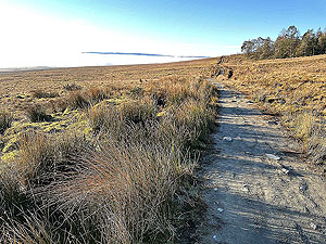
is a small country road and is just lovely to run on with very few cars and great views. You soon arrive at the signposted trail path back to Helensburgh.
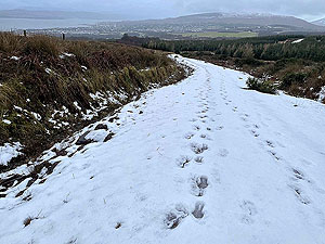
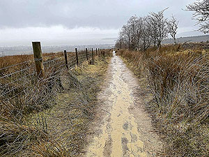
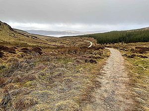
For the first part of the trail section you are out in the open. This section is part of the Three Lochs Way. You reach a downhill section where the running
can be a little more technical, but fun. This ends at a tee junction where you head right and through the local woods back to Helensburgh. The journey
through the woods ends when you arrive at Rhu Road Higher and a short run heading right then downhill to the left and finally back at the car park.
Details last updated in April 2021.
Route images
Directions
×