
Trail run from Aberdeen airport
The Trail run from Aberdeen airport route is a mainly trail and dirt road run within North & Grampian. The loop covers a distance of 13.45 Kms ( 8.36 miles )
and has an elevation gain of 309 m ( 1012 feet )
.
Length
13.5 Kms
Elevation
308.6 m
Max elevation
251.6 m
Difficulty
***
Rating
****
Main road
2 Kms
Country road
0 Kms
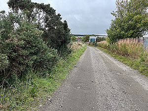
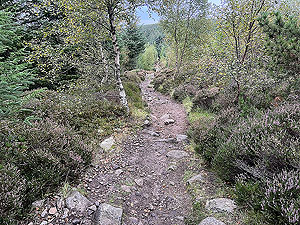
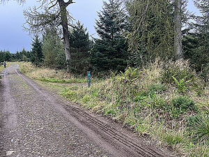
Dirt road
2 Kms
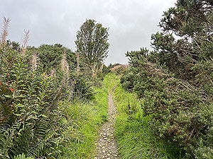
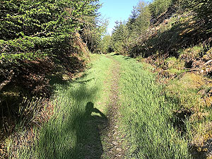
Dirt path
5.5 Kms
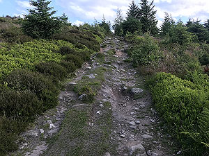
Trail
4 Kms
;)
Description
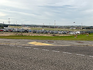
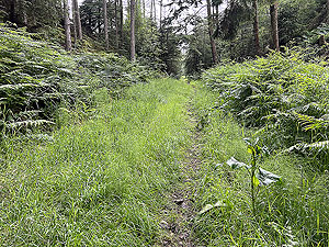
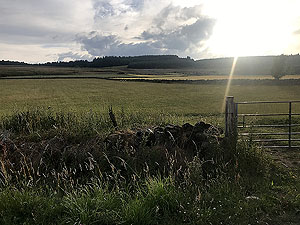
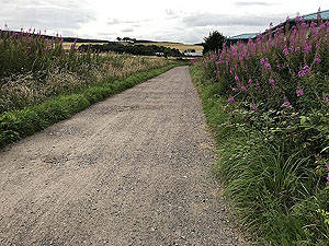
This is our first run that we have classed as from an airport. Though not really the airport itself the run starts beside the airport and alongside the many hotels available. Who knew such a great wee trail run could be so close to an airport.
The run out lasts about
1 Kms
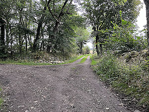
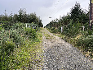
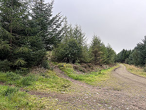
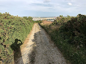
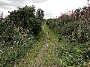
before you are on a small road then quickly onto a dirt road at the back of an industrial estate. Fear not as within 2 Kms
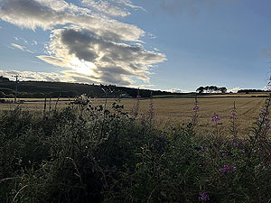
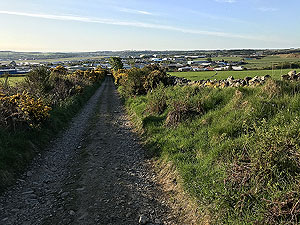
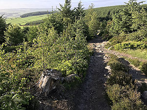
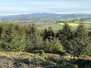
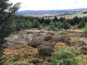
you are on a mix of trail and forest style road and heading uphill. Take a moment to look back for some nice views over the countryside and the airport itself.At around
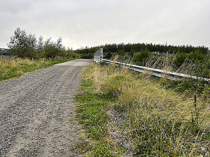
3.5 Kms
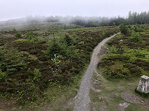
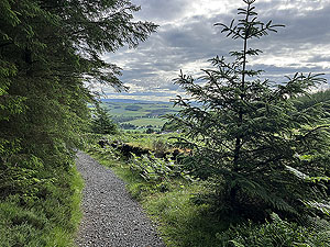
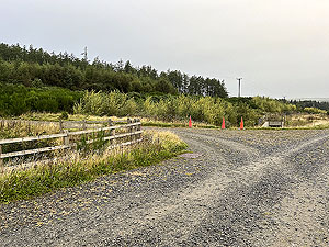
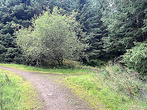
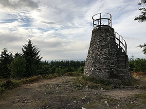
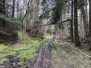
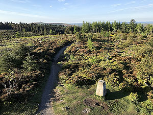
the dirt road heads over the main road on one of the animal bridges and from there you are into the woods/forest for some lovely running. Parts of the run can get muddy and slippy but generally it's not too bad. The hoop takes you to teh top of Tyrebagger Hill and to Tapi tower which has some stairs and worth climbing for the views.Once you are off the tower it's a short downhill then onto the path leading to the car park. This is where it's easy to miss the turning, so check the pictures and ideally download the GPS file to keep you right. Is you miss the turn then you can pick up the route again once you hit the main car park dirt road.
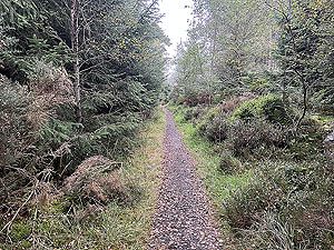
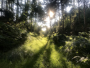
The route proper returns onto forest road and some peaceful running amongst the trees. A couple of right turns takes you back to the trail where you came in and from there it's a simple downhill back to airport land.
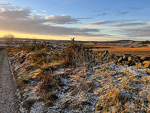
The forest offers several paths where you can make the route longer or shorter, but we have choosen this one as our favourite. Really nice route and a place to see the red squirrel if you are lucky.
Details last updated in September 2023.
Route images
Directions
×