
Rowerdennan to Loch Arklet
The Rowerdennan to Loch Arklet route is a trail and dirt road run within Loch Lomond and the Trossachs. The out and back covers a distance of 27.51 Kms ( 17.09 miles )
and has an elevation gain of 679 m ( 2228 feet )
.
Length
27.5 Kms
Elevation
679 m
Max elevation
150 m
Difficulty
***
Rating
****
Main road
0 Kms
Country road
3 Kms
Dirt road
9.6 Kms
Dirt path
0 Kms
Trail
14.9 Kms
;)
Description
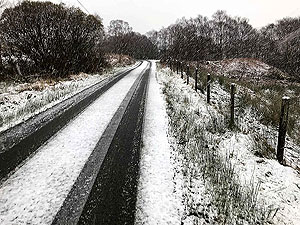
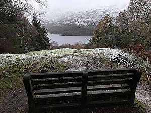
This is mainly an out and back though there is a bit of a loop in the middle. The route is mainly on the West Highland Way and so take into account it can get busy during the summer. This review is from November and we only saw one person along the whole run.
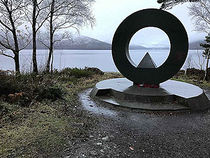
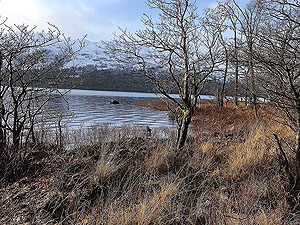
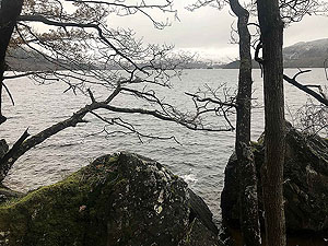
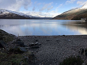
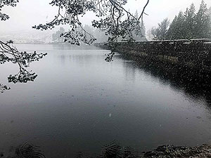
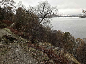
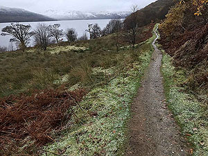
So we head off from the car park at Rowardennan after taking a moment to enjoy the beauty of Loch Lomond. The route follow the small road heading north up the loch. There are a few houses and a youth hostel which the road serves. You are rewarded with lots of views of the loch as you head out but after
2.7 Kms
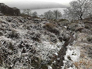
you start the first main climb of the run. This route although only getting as high as 150 m
does include about 679 m
along the way. At this point there are two ways to go, we went out on the higher path and came back on the lower one.
After
4.6 Kms
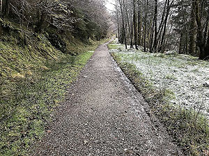
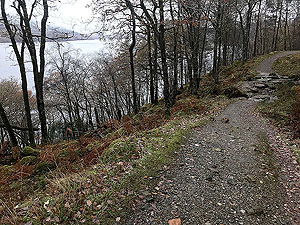
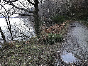
we start a downhill section but the route does through several steep climbs in along the way just to prevent you feeling everthing is too easy. The road becomes more of a trail and takes you closer to the loch.
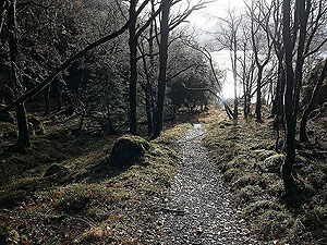
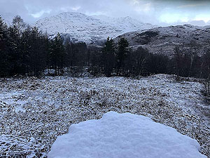
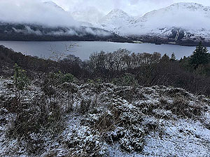
Just before Inversnaid you start the steepest climb of the route as we go up the hill towards Loch Arklet. This can get muddy and wet in places but is one of those trails that are rather fun. Until that is you lose on foot in a boddy section and end up face planting. Once over the top you arrive at a small car park. Take the exit and once at the small tarred road run right. This takes you all the way up to Loch Arklet
The ruins of the old Roman garrison are beside the small farm just before the dam and worth a visit if time permits. From Loch Arklet you turn around and head back the way you came.
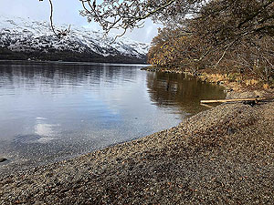
On the way back at
20.2 Kms
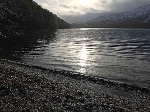
we took the lower path on the right rather than the main dirt road. This does get rather technical in parts and you are forever going up and down. The views though are brilliant as you end up frequently at the shore line. Again in tourist season this might be bad choice but for us it was just perfect. At 27.5 Kms
you are back at the car park and if in summer perhaps a good time for a wee dip in the loch.
Details last updated in November 2020.
Route images
Directions
×