
The Fungle run at Aboyne
The The Fungle run at Aboyne route is a trail run within North & Grampian. The loop covers a distance of 9.5 Kms ( 5.9 miles )
and has an elevation gain of 359 m ( 1178 feet )
.
Length
9.5 Kms
Elevation
359.1 m
Max elevation
344 m
Difficulty
***
Rating
****
Main road
0 Kms
Country road
1 Kms
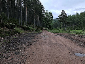
Dirt road
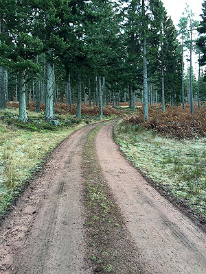
7 Kms
Dirt path
0 Kms
Trail
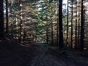
2.5 Kms
;)
Description
At just under
10 Kms
the Fungle run is one of the shorter routes but one of our favourites. Although we call this the Fungle you are only on the Fungle path proper for part of the route. The Highland Games in Aboyne includes this route, but is a little longer as the start and end involve laps around the game's running track on the village green.
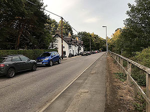
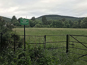
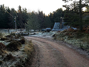
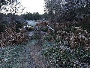
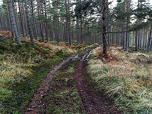
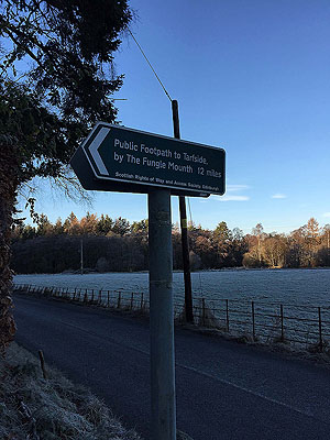
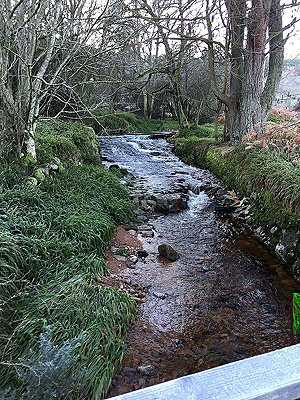
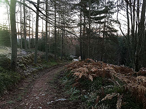
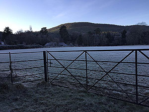
There is a short section of country road from the start until you get to the hill and of course the same when you return. The start is on Charleston road which runs along the river Dee. As you cross the bridge you will see Craigendinnie hill up to your right and the loop round that is where you are heading. Once across the bridge a short section on the south Deeside road leads you to the signposted start of the Fungle path. The path takes you up a short slippy incline before reaching a single track tarred road for a short section. Once out of the trees the hill appears.
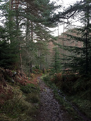
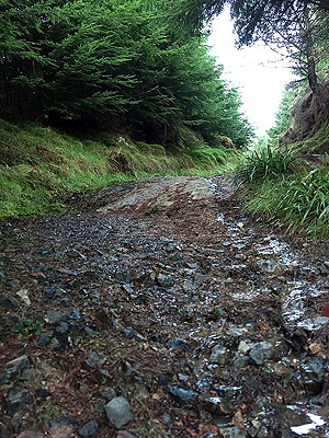
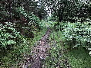
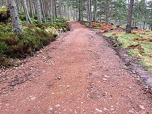
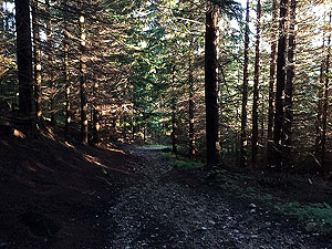
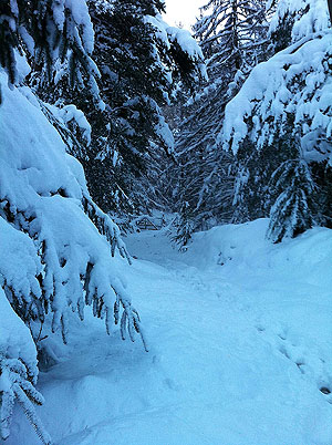
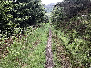
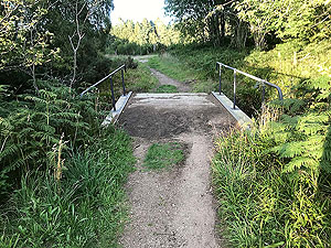
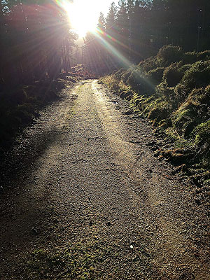
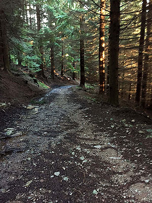
The route takes you over a small wooden bridge and from this point you are on the Fungle proper and into the trees. The path is narrow in parts initially but soon opens up into a Landrover style path and a rather steep part. At just under
2 Kms
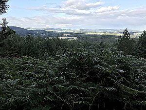
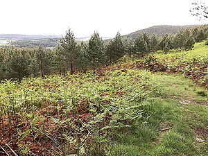
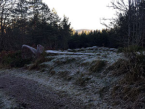
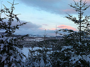
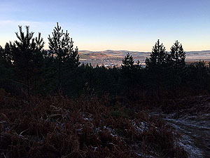
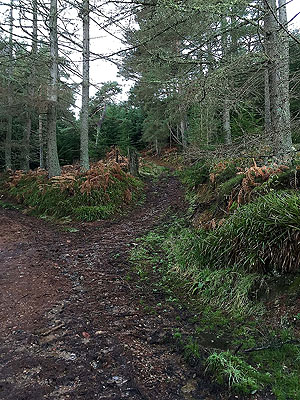
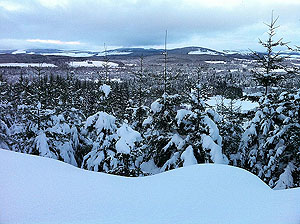
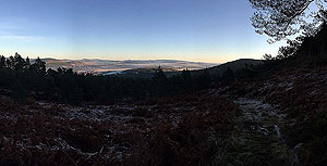
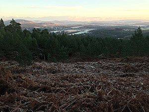
you head over the style on your right and hit the open section of the uphill on Craigendinnie. Young trees on your right can block the views across Royal Deeside but when you do get the view it's really nice. At the top of this section you hit a very short flat bit before heading downhill towards the Glen Tanner estate.
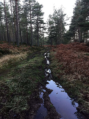
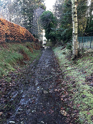
At the bottom of the hill you turn left, and yes you guessed it, you head back uphill looping round the back of Craigendinnie. The ups and downs are what make this special. Lots of potential spots of wildlife in this section particularly in early morning. You are very much in the trees now until back to the wooden bridge. At the top of this section a tree stands in what appears to be a roundabout at a tee junction in the paths. You are heading on the path to the left, the one on the right is a return path from one of our longer runs. You are now downhill for a long time. Turn left at the small house, The Guard, which is just under a kilometre from the top of the hill. The section after this through the trees is really enjoyable downhill though take care as trips and slips are a plenty and usually hurt a lot.
You'll pass the style, now on your left, and from there you are going back the way you came. We hope you enjoy this one -we do and used to run this several times a week.
Details last updated in August 2018.
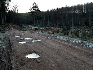
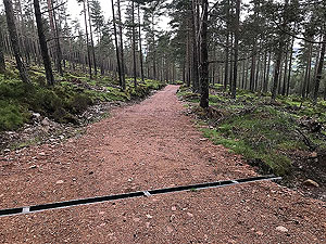
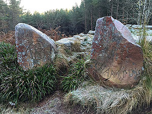
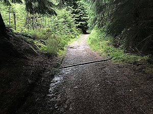
Route images

Directions
×