
Short section of 3 Lochs way
The Short section of 3 Lochs way route is a pavement, small road and trail run within Central & West. The loop covers a distance of 12.6 Kms ( 7.83 miles )
and has an elevation gain of 279 m ( 915 feet )
.
Length
12.6 Kms
Elevation
279 m
Max elevation
193 m
Difficulty
**
Rating
**
Main road
5.8 Kms
Country road
2.5 Kms
Dirt road
0 Kms
Dirt path
0 Kms
Trail
4.3 Kms
;)
Description
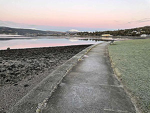
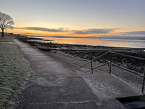
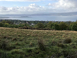
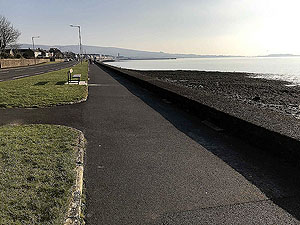
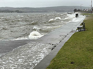
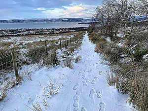
This route starts from the Kidston Park in Helensburgh. A lovely place for a car park and it offers some great picture opportunities, especially during sunrise and sunset. The route leave the car park and takes the footpath back towards Helensburgh along the side of the River Clyde.
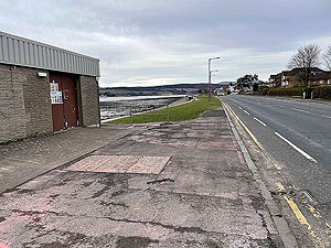
At just short of
1 Kms
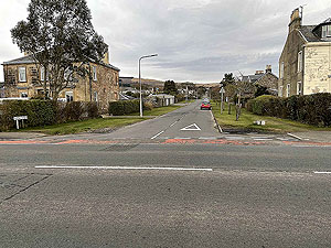
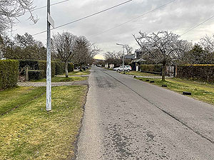
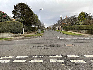
we leave the river and head up the street opposite the small water treatment plant. We head up three blocks before turning right onto Argyle Street. This street is stunning during late April / early where the cherry and apple blossom is out.
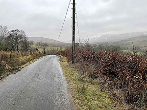
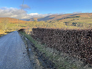
After running six blocks we take a left and start uphill before turning right on meeting the railway line. The climb starts again after one block where we head up the A818 and out of town. In this section you need to cross the road at some point since the pavement on the left hand side ends before you reach the town limits.
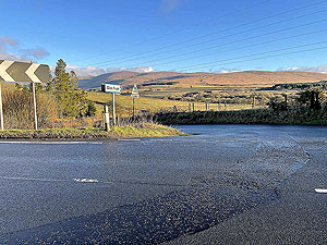
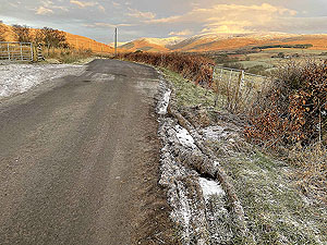
At almost
3 Kms
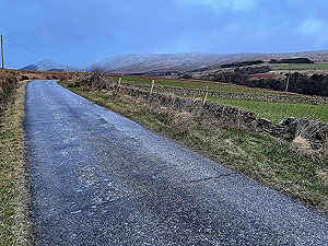
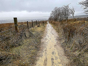
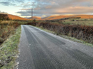
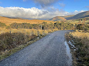
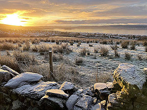
you take a left into Glen Fruin. This is a lovely quiet single track road that has a few ups and downs along the length. At about 4.5 Kms
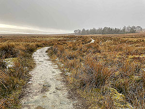
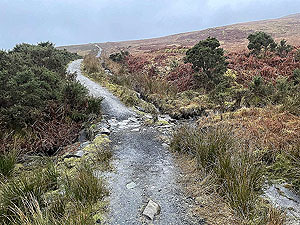
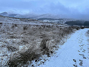
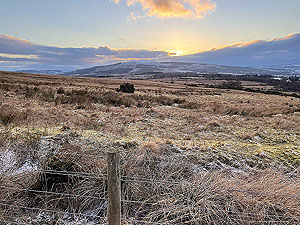
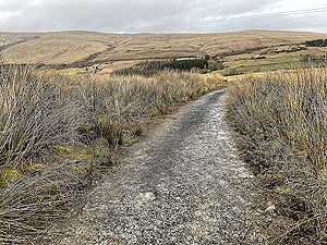
you leave the tarred road and take the signposted trail back to Helensburgh. This is you on the three lochs path proper.
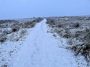
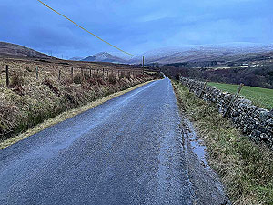
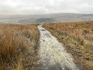
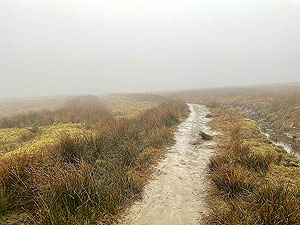
The trail has some nice climb to start with then varies between flat and hilly. At about
8.8 Kms
you are at the highest point at 193 m
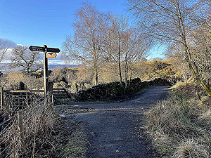
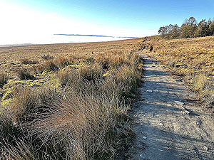
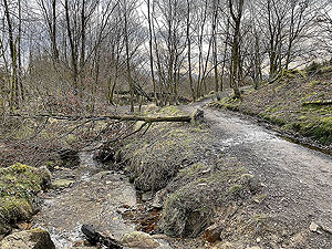
and from here it is nearly all downhill all the way back. The route is out in the open going over the hill but soon reaches the wood trails. At 11.5 Kms
you come out of the woods and take a right then left back towards the Kidston Park. There is a small cafe and toilets at the car park.
Details last updated in March 2021.
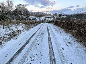
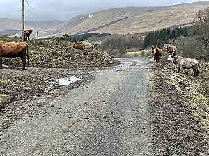
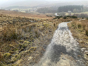
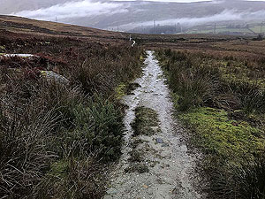
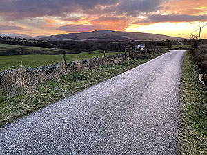
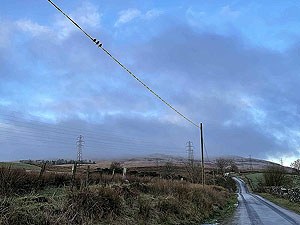
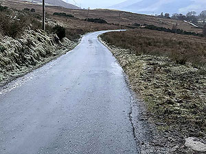
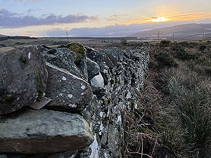
Route images
Directions
×