
Sheriffmuir loop from Stirling
Length
17.7 Kms
Elevation gain
396 m
Max elevation
265.5 m
Difficulty
**
Rating
***
Type
Loop
Route id
579
Main road
0 Kms
Country road
15.5 Kms
Dirt road
0 Kms
Dirt path
2.2 Kms
Trail
0 Kms
0

Route summary
The Sheriffmuir loop from Stirling route is a mainly country road run within Central & West. The loop covers a distance of 17.71 Kms ( 11 miles )
and has an elevation gain of 396 m ( 1299 feet )
.
Description
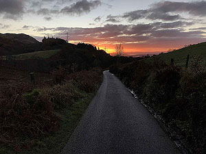
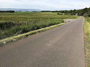
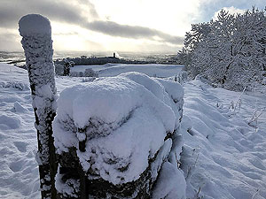
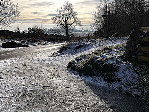
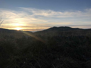
We have looked at Strava and apparently we have run this route several times and mainly due to the local location for us. If you are looking for a nice road run with a reasonable length then this is a good one and it has a good bit of climb in the early stages. The route is out in the open for long periods so best avoided in strong winds and rain - we speak from experience.
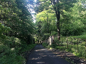
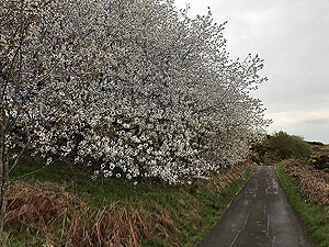
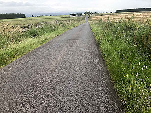
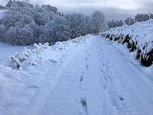
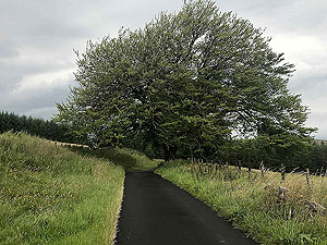
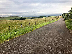
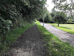
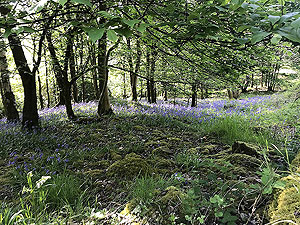
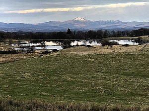
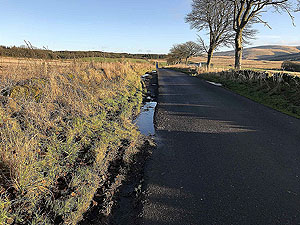
The route heads uphill from the car park on the small road which bends and turns its way up through the woods. The bluebells in this area are stunning in spring time. You are soon out of the trees and Dumyat hill appears on your right. There is traffic on the road but not very much and in fact most mornings you will not see any cars on this section.
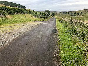
Once at the tee junction your take a right on the Sheriffmuir road which continues the uphill for another
4.1 Kms
thought there are some short downhill and flats along the way. From the 6.3 Kms
mark to 16 Kms
the route is mostly downhill.
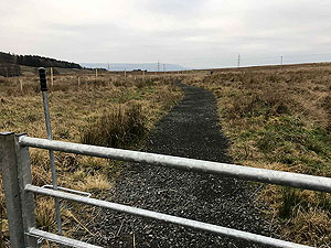
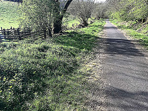
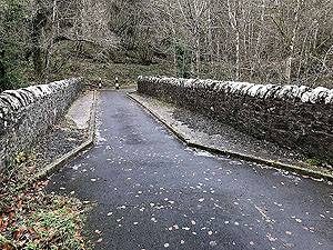
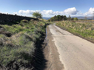
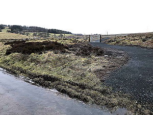
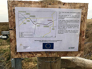
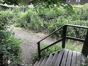
With the old Sheriffmuir Inn in sight you are heading up the hill from the small stream. A trail path has been created on your left that you should take, see pictres. You can of course stay on the tarmac and take the road on the left and the two routes will join up.
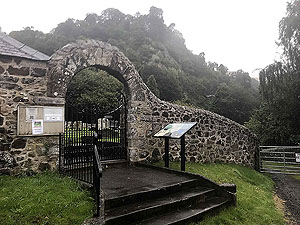
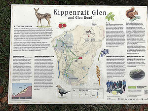
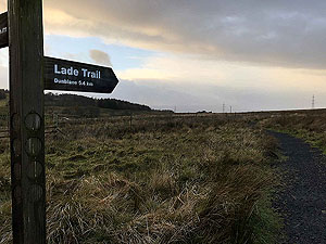
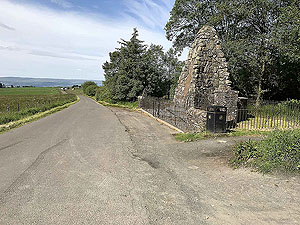
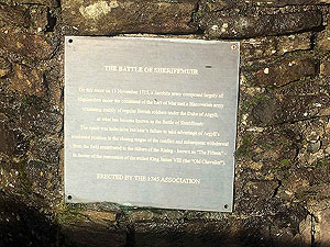
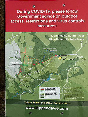
The trail takes you out at the monument complete with a description of the Battle of Sheriffmuir. There are several alternative routes available at this point so have a look at the picture section for the information sign. We keep on the tarmac and head off to Bridge of Allan.
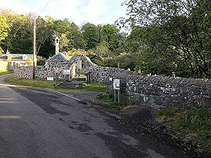
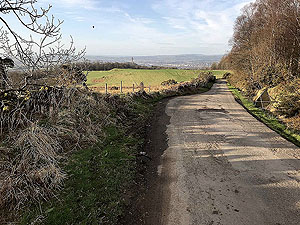
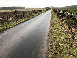
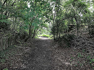
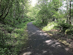
The road hits a tee junction at the bottom of the hill and the route takes you left down the Glen Road. You pass a few houses before the road is blocked off to cars and you have a nice section within the trees. This road brings you into the back of Bridge of Allan. From here follow the route around the top of the village before taking the Sheriffmuir road on your left.
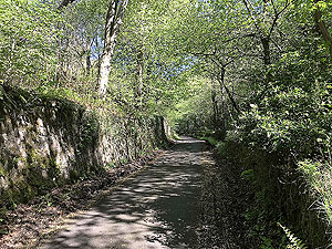
A short distance up this road you will see a path on the right just before the road starts the climb beside the woods. Take this path following the wall of the university. This brings you back out at the road near the car park where a right turn will see you back.
Route directions
Kms
1
Starting at the church car park
0
2
From the car park turn right going up the small road away from the main road.
0
3
At the tee junction turn right going up hill
1.5
4
Take the signposted trail path on the left. Lade trail
6.4
5
On arriving at the road, turn left past the monument
7.7
6
At the bottom of the hill at a tee, turn left down the Glen Road
10.7
7
Road is for walkers and cyclists only during this section, and of course runners
11.5
8
At the Y junction go up the hill on the left. Upper Glen Road
13.1
9
Follow the road left
13.8
10
Follow the road left
13.9
11
Go right
15
12
At road tee turn left
15.1
13
At tee junction turn left
15.5
14
Take the Sheriffmuir road on the left
15.8
15
Just before the hill and woods, take the path on the right along side the wall
16.3
16
On arriving at small road turn right back to car park
17.2
17
Left back into car park
17.7
18
And finish
17.7

The original Logie Kirk

Entrance to the ruins

The original Logie Kirk

Approaching the kirk

Heading up the hill

This gets the heart rate up

Heading up the hill

The bluebells are out

Heading up the hill

A blaze of green looking back down the hill

Out into the open

A lovely winter morning

Out into the open

This was tough to get through

Out into the open

Looking up towards Dumyat car park

Out into the open

Early winter morning

Out into the open

Horses on the hill top

Beside Dumyat car park

Towards Wallace monument in snow

Beside Dumyat car park

Wallace monument without snow

Beside Dumyat car park

Wallace monument with cow

Beside Dumyat car park

The road just travelled

Beside Dumyat car park

The whole area can get slippy due to footfall in certain areas

Approaching reservoir

View to Ben Ledi

Approaching reservoir

Spring time

Start of open section

We watched the new stone wall being built over several runs

Start of open section

Sunny morning looking back

Start of open section

Dumyat in the morning sun

Last of the main uphills

Looking back

Last of the main uphills

A flat section

Join the trail path

Path leaving the road

Join the trail path

Information sign

Join the trail path

The good quality path ahead

Join the trail path

Well signposted

Monument area

Road away from the monument

Monument area

Information aboout the Battle of Sherifmuir

Monument area

The battle fields

Monument area

The area where the path rejoins the tarred road

Monument area

The monument

Monument area

Information about the other paths. 2020 in COVID season

Road to Dunblane

Farm in the distance

Road to Dunblane

The long straight bit

Road to Dunblane

Hello there pal

Looking away from Dunblane

Towards the monument

Glen Road

Glen Road information sign

Glen Road

Not many cars on this route

Glen Road

The old bridge

Glen Road

Nice section in the trees

End of path

Arriving at back of Bridge of Allan

Trail or road

Section where the trail runs alongside the road

Trail or road

The path or road, your choice.

University wall

Path leading back to the car park follows the uni wall