
Scolty hill area trail run
Length
17.7 Kms
Elevation gain
538.9 m
Max elevation
290.3 m
Difficulty
***
Rating
***
Type
Loop
Route id
549
Main road
0 Kms
Country road
0 Kms
Dirt road
14.7 Kms
Dirt path
2 Kms
Trail
1 Kms
0

Route summary
The Scolty hill area trail run route is a trail run within North & Grampian. The loop covers a distance of 17.66 Kms ( 10.97 miles )
and has an elevation gain of 539 m ( 1768 feet )
.
Description
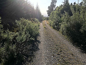
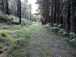
This is a good quality run with a fair bit of climb along its length. The climbs are split into three sections so they don't seem so
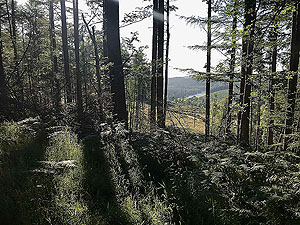
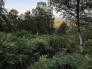
bad. The paths are all good quality with only short sections being more towards trail. Although there are areas where the views
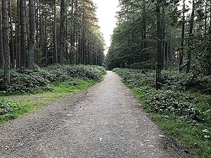
are brilliant a lot of this run is within the trees.
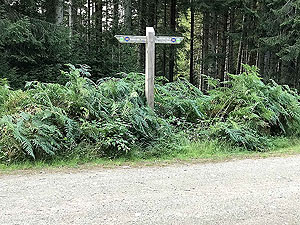
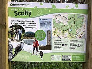
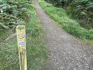
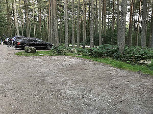
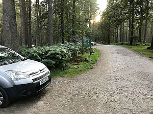
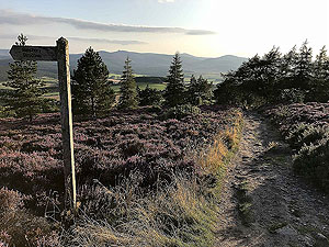
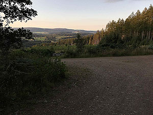
From the car park you follow the main dirt road which is well signposted for Scolty hill. The is a very popular walk for the locals
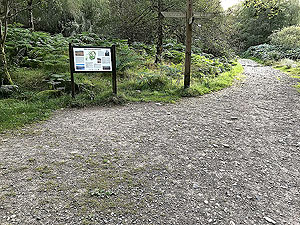
and visitors so unusual if you get this to yourself. Just before the 1KM you reach a gate and a crossroads. For this route we head off
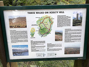
to the left and aim to tackle the up on one of the steepest paths. If you want to take it easier on the way up the signs at the gate
give you enough information to tackle a different way up.
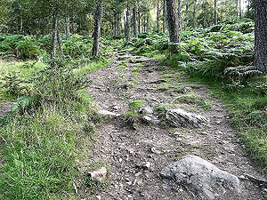
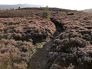
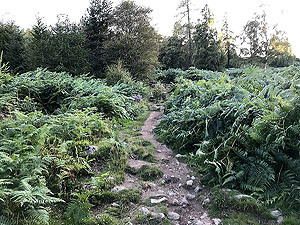
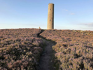
Shortly after the gate you are heading up a steep trail path to the top of the hill and the General Burnett monument. This is as hard as it gets
on this route and is only about
1 Kms
long. You can do it.
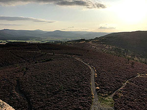
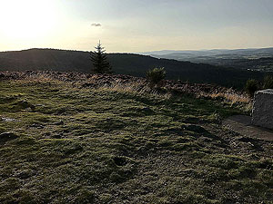
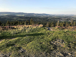
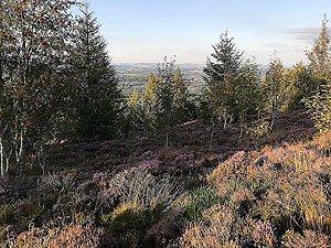
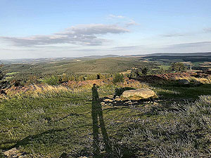
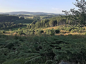
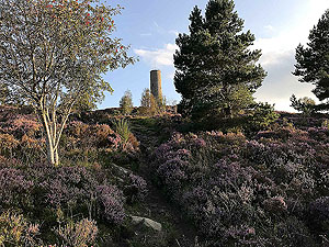
Once out of the trees a short distance takes you to the top of the hill. It does seem to come at you all of a sudden. A spiral
staircase inside the monument allows you to get to the top and take in the views across Deeside. The monument can get busy at particular times
though when we have been there we had the monument to ourselves.
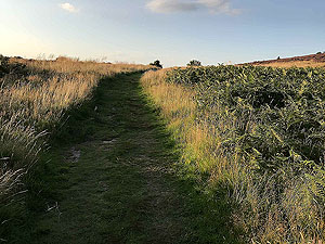
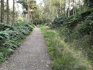
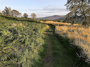
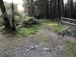
After the top the route down goes round Scolty hill and is a much more gradual incline than the way up was. The path this way is also
much better after the first short section. This path takes you down to the crossroads gate where you head left along the path just before the gate.
This follows the fence line.
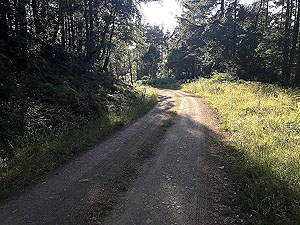
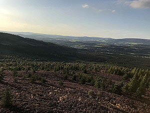
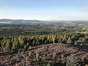
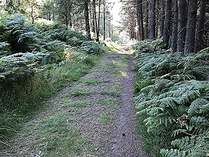
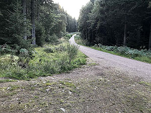
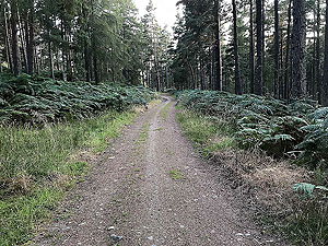
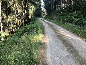
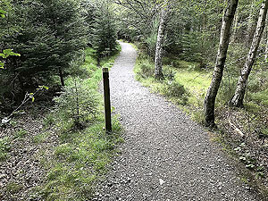
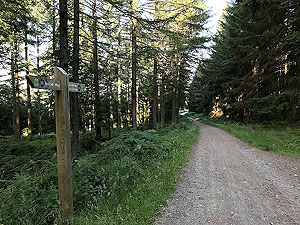
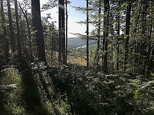
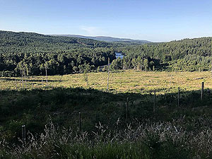
The path takes you out at the Deeside way which means you are now on forest roads and it stays that way for the rest of the run. There
are some spots where the views open out but generally you are in the trees. The pictures show that. Just after
4 Kms
a left turn takes you onto
a climb lasting about 4 Kms
overall with the next 4 Kms
being downhill. The last and smallest of the three main climbs is from 13 Kms
to 14 Kms
.
One more climb exists just before the car park turn but this is minor. To be honest though after the three main climbs, this doesn't
feel so minor.
Route directions
Kms
1
Start directly from the car park
0
2
Head past the gate up the main path
0.1
3
At the gate turn left
0.7
4
At the marker take the small path on the right heading uphill
0.9
5
Keep on the path heading up hill
1.2
6
Top of Scolty - follow path straight on
1.6
7
At the larger path turn left
1.7
8
At the tee turn right
2.5
9
Keep on the main path
2.9
10
Back at the gate, turn left along the path beside the fence
3.5
11
Take road heading right
4.1
12
Turn left at the tee, sign posted as Deeside way
4.3
13
Keep on main path
4.8
14
Keep on main path
6.1
15
Take the dirt road on the left headingup hill
6.5
16
Path turns to the right
6.9
17
Take the fork to the right
7.2
18
Take main road, slightly to the left
8.6
19
Turn right at the tee junction
9.9
20
Take the left down the hill
10.1
21
Take the path on the right
10.6
22
Follow the path to the right and uphill
11.8
23
Keep on main path as it heads up hill
14.1
24
Turn left at the tee, following signs for the car park
14.4
25
Road bends to the right
16.3
26
Turn left at the tee heading back to the car park
17.2
27
And you are back at the car park
17.7

Car park area

Heading from the car park towards Scolty

Car park area

First of several information signs

Car park area

Lots of spaces but does get busy at weekends

Car park area

Dirt road out of car park towards Scolty

Path junction at gate

Well sign posted, take a left.

Path junction at gate

Different routes up the hill

Path junction at gate

The path on the left from the gate

Path junction at gate

After the hill and just before the gate this is the path on the left to take

The upwards trail

Path becomes more of a trail on the up

The upwards trail

Small signpost marks start of trail climb. Head off main path to the right

Starting to come out of the trees

Path is quite narrow in parts but good quality

Starting to come out of the trees

Looking back towards Banchory

Top of Scolty

View from the top of the tower towards Clachnaben

Top of Scolty

Top of the tower looking down the Dee

Top of Scolty

Just short of the top, looking back

Top of Scolty

Just short of the top, looking forward.

Top of Scolty

From just outside the tower

Top of Scolty

Taken from the top of the tower, towards Banchory

Top of Scolty

From the hill top

Top of Scolty

Looking back at the tower. General Burnett's monument

Top of Scolty

Path through the heather from the tower

Top of Scolty

The path that took us to the top

Path round the side of Scolty

Good running paths with gentle slopes

Path round the side of Scolty

Rocky part of the path

Path round the side of Scolty

Nice grassy part of the path

Into the woods

To the left of the main gate

Into the woods

Good quality paths

Into the woods

Short section with lots of tree routes. Watch out

Deeside way

First marker for the Deeeside way

Deeside way

The Deeside way seems to be all up in parts

Forest paths

Dirt roads and trees

The river Dee

The Dee appears between the trees

The river Dee

Dee through the trees

More forest roads

The roads can get a little slippy in patches

More forest roads

Running into the late evening sun

Open space

Some open countryside

And back into the trees

Rather pleasant running

And back into the trees

Heading back to the car park

Out in the open again

Open countryside

Evening time

As the sun starts to go down, there's a wee bench to take it all in