
Queen Elizabeth forest park
The Queen Elizabeth forest park route is a trail run within Loch Lomond and the Trossachs. The loop covers a distance of 20.49 Kms ( 12.73 miles )
and has an elevation gain of 325 m ( 1066 feet )
.
Length
20.5 Kms
Elevation
325 m
Max elevation
155 m
Difficulty
**
Rating
***
Main road
0 Kms
Country road
2.9 Kms
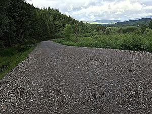
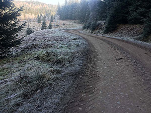
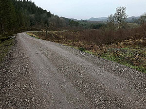
Dirt road
17.6 Kms
Dirt path
0 Kms
Trail
0 Kms
;)
Description
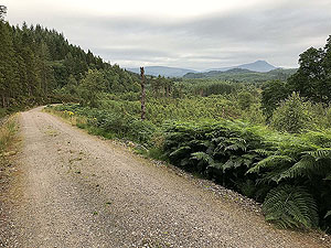
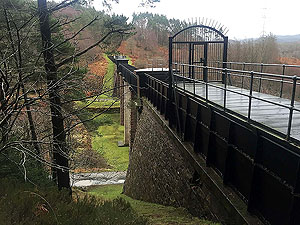
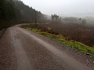
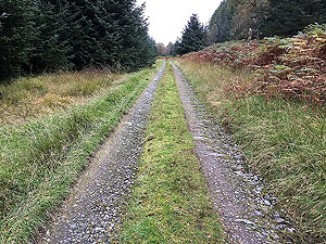
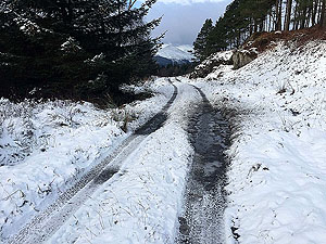
A medium length route on well maintained Landrover trails. Includes a few ups and downs to get some elevation in. This is a shorter version of the Loch Ard Forest route and misses out on the loch views. However, plenty to see including the Victorian aqueduct system that took fresh water to Glasgow. When we need a simple
20 Kms
run then this is one that we come to time after time. Very rarely do we see anyone on this route, but then again we do tend to run in early morning.
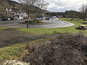
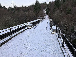
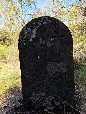
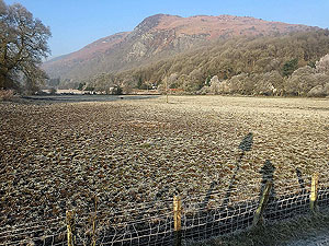
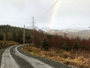
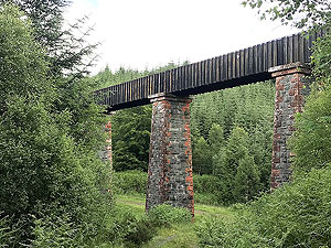
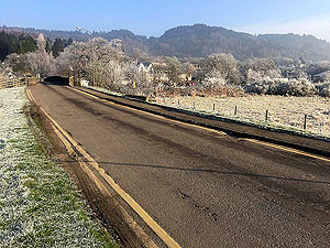
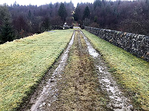
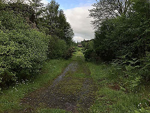
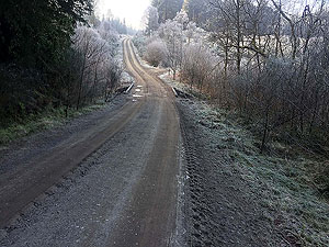
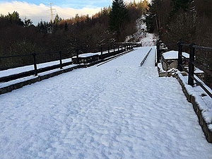
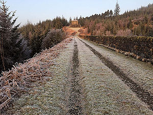
From Aberfoyle car park the route heads across the old bridge and follows the small road past the cemetery and into the forest. The road is easy to follow and once past the forestry commission buildings turns into a dirt road and you are into the forest. The first part is in trees and contains a fair bit of up. The route takes you past Duchray castle which is hidden and on towards Duchray bridge. This is part of the Victorian water supply from Loch Katrine to Glasgow and you can see one of the pumping stations up ahead.
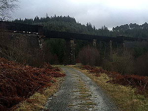
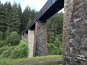
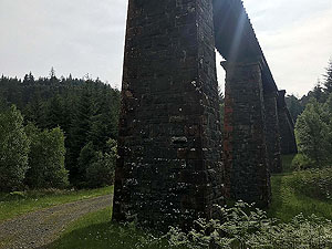
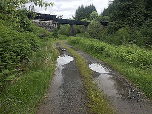
The trees have thinned a bit by this point and once over the bridge you get a wee crazy zig-zag path up to the front of the pumping station. From here a bit of climb and a few close encounters with the old viaduct system.
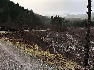
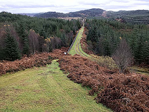
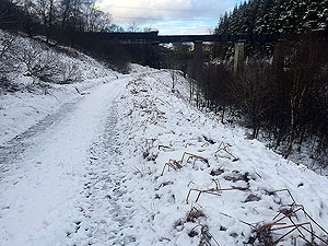
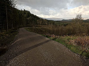
At about the half way point the path reaches a junction of paths. Other routes we have cover all the options here but for this route we head to the left and under the viaduct. We take a right turn just beyond the viaduct and set off on the return path proper. This is mostly out in the open and returns you to a position about Duchray bridge. And from here we head off to the right and up the hills.
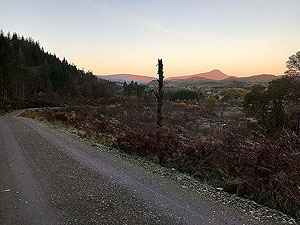
This return route in the trees also has the longest and highest climb of the route. It's not too bad though and once you are at the top it's nearly all downhill for the last
3 Kms
or 4 Kms
back to Aberfoyle. A short sharp descent brings you back onto the path you headed out on. Keep an eye out for red squirrels here as we see them frequently.
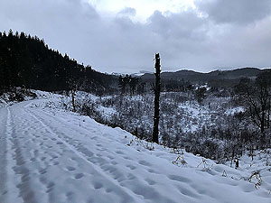
Due to the amount of time in the trees, this is one run that is actually very enjoyable when it's raining. That statement might come back to haunt us, but for now we will stand by it.
Details last updated in September 2018.
Route images

Directions
×