
Pitfitchie trail loop
The Pitfitchie trail loop route is a trail and dirt road run within North & Grampian. The out and back covers a distance of 16.72 Kms ( 10.39 miles )
and has an elevation gain of 404 m ( 1325 feet )
.
Length
16.7 Kms
Elevation
404 m
Max elevation
333.4 m
Difficulty
***
Rating
**
Main road
0 Kms
Country road
0 Kms
Dirt road
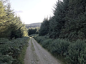
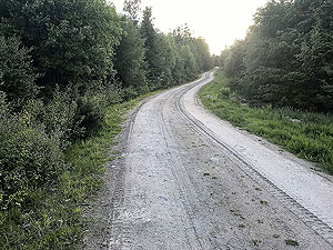
15.7 Kms
Dirt path
1 Kms
Trail
0 Kms
;)
Description
This is a nice though rather dull route. We think the start of the route sets a false expectation that the rest of the run will be as good.
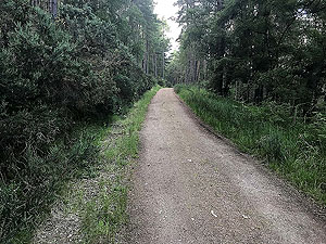
However, you do spend a lot of time in the trees with not such to see after the first section.
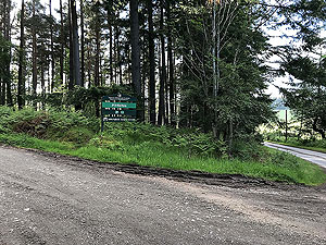
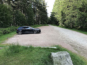
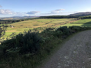
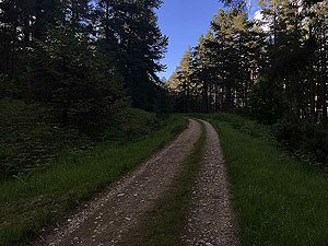
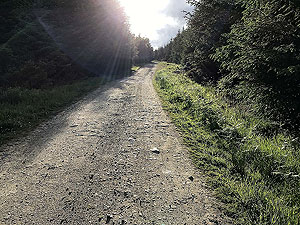
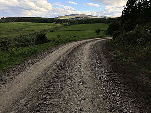
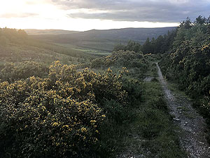
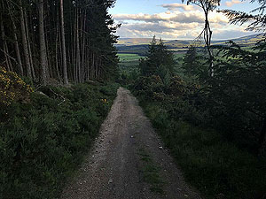
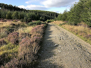
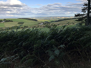
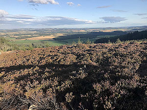
From the car park the road starts a gradual climb for just over a kilometre with some openings in the tress giving you a nice view of the
open countryside and route ahead. This section end with at right turn up towards the stone circle.
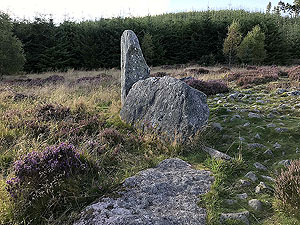
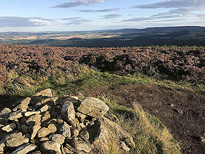
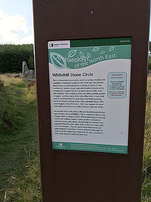
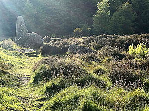
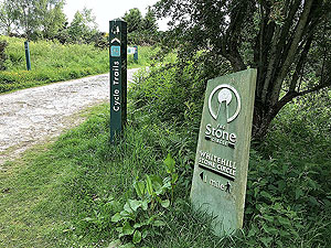
The Whitehill stone circle is one of many in the North East of Scotland and worth stopping at to have a look either on the way out or the way back.
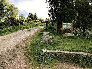
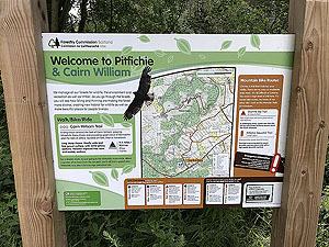
The picture section includes a picture of the information sign.
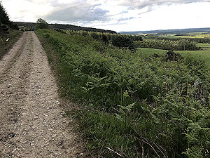
The path starts to undulate after the stone circle but is predominately downhill. This is a bit of a surprise as it is one of those routes
which you feel you are going uphill in both directions.
At around the
5 Kms
mark the path starts to route round Menaway hill where you are in deep in the trees. Part of this route is used by cars going
to an alternative car park so watch out for that.
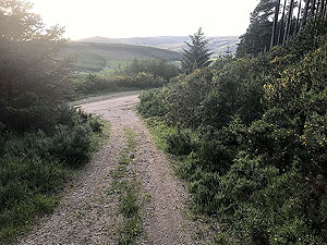
At the final section of the loop round Menaway hill, around
9.5 Kms
you hit the big hill in this route and if feels like it goes on for a long time.
It is less than 150 m
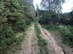
of climb but does feel like more given the short distance. During this part the path becomes more of a trail, or overgrown road,
rather than the good quality dirt roads elsewhere. As quick as you are up this hill you are back down again with a right hand turn taking
you back along the path you came.
With tired legs after the hill section undulating part of the route seems worse, though at least this time you know you are actually climbing a
little overall. Soon you are back at the stone circle with a mainly downhill finish back to the car park.
Details last updated in June 2019.
Route images
Directions
×