
Longer loop in Queen Elizabeth forest
The Longer loop in Queen Elizabeth forest route is a trail run within Loch Lomond and the Trossachs. The loop covers a distance of 29.73 Kms ( 18.47 miles )
and has an elevation gain of 621 m ( 2038 feet )
.
Length
29.7 Kms
Elevation
621.1 m
Max elevation
188.8 m
Difficulty
**
Rating
***
Main road
0 Kms
Country road
4 Kms
Dirt road
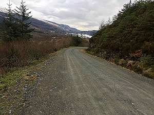
22.8 Kms
Dirt path
3 Kms
Trail
0 Kms
;)
Description
Another variation of a route from Aberfoyle which creates a larger route to explore. This is an extension of the Loch Ard forest route, number 485, and adds in a different and slightly longer final loop.
We have done this route several times but it always seems harder than it should be. Perhaps due to the elevation or perhaps due to the heavy rain that seems to follow us on this one.
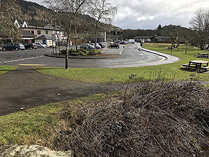
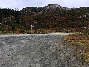
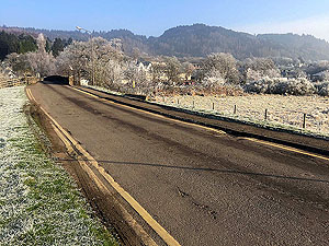
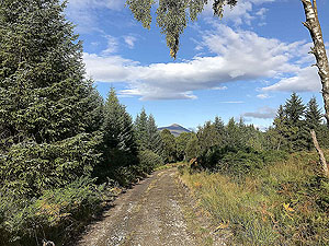
The route starts off from the main car park in the village, crosses the old bridge and heads past the ruined church towards the forest. The first
2 Kms
are on tarred road but that
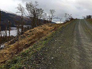
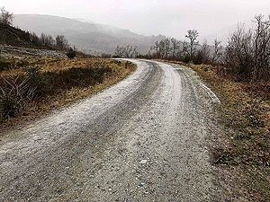
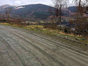
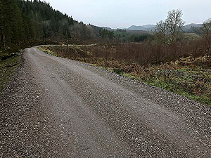
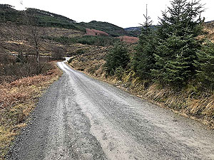
soon stops and you are on forest roads for most of the remainder of the run. There is a a fair bit of climb on this route but nothing too difficult
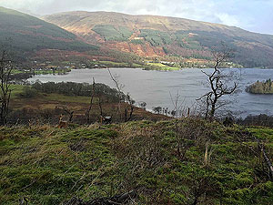
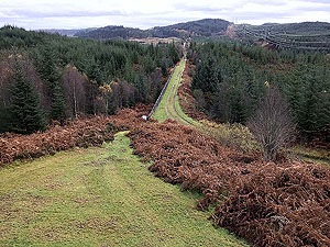
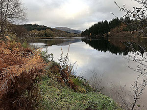
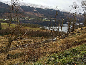
and you are rewarded with many nice views.
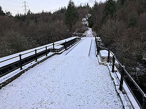
At just past the
7 Kms
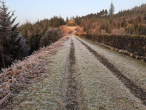
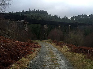
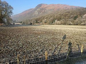
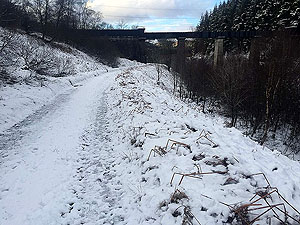
mark you cross the old bridge over Duchray water and head up a zig zag of a path. From the bridge onwards you
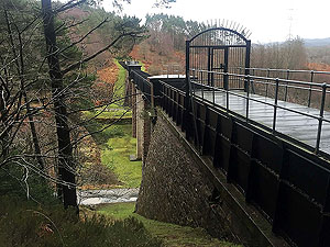
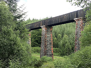
will see many parts of the old Victorian water system taking water from Loch Katrine to Glasgow. Very impressive the structures. The path
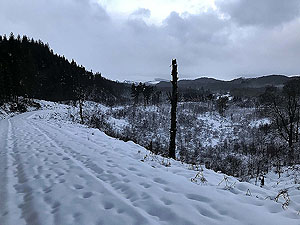
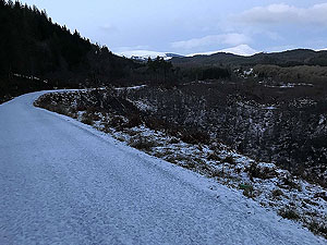
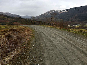
is taking you towards Kinlochard, but you head off on the path taking the high route past the village. Although still in trees,
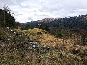
they do occasionally open up to allow you to see the views. This part of the route can be a bit of a gradual uphill slog at times.
Just after
14 Kms
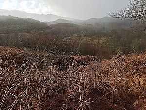
you follow the path to the left and some more uphill. This part and for the next 5 Kms
you are mainly out in the
open and this is where the really heavy rain is likely to come on. OK, perhaps that's just for us.
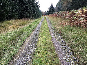
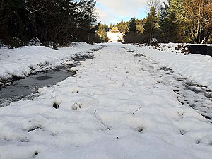
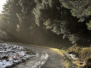
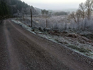
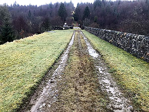
The final
10 Kms
is a mix of ups and downs and in amongst the trees. One nice thing about this route is that the final 6 Kms
are mostly
downhill or on the flat. The downhill sections are nearly all easy running.
Details last updated in April 2020.
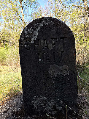
Route images
Directions
×