
Over the Carman
The Over the Carman route is a trail and road run within Loch Lomond and the Trossachs. The out and back covers a distance of 17.86 Kms ( 11.1 miles )
and has an elevation gain of 535 m ( 1754 feet )
.
Length
17.9 Kms
Elevation
534.6 m
Max elevation
302.4 m
Difficulty
****
Rating
*****
Main road
0 Kms
Country road
2 Kms
Dirt road
8.3 Kms
Dirt path
0 Kms
Trail
7.6 Kms
;)
Description
We've been trying for a while now to shape this route into something special given all the possibilities. Also
had mostly rubbish weather for our picture taking.
Now we have it.
Now we have it.
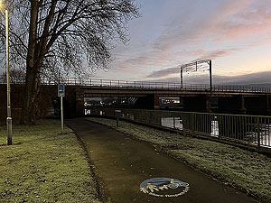
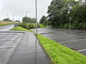
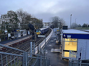
We start from Dalreoch Station in Dumbarton that is served by trains going to Helensburgh and Balloch on a very frequent service coming from Glasgow or Edinburgh (at least every 30 mins). From the Station
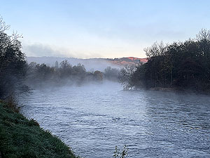
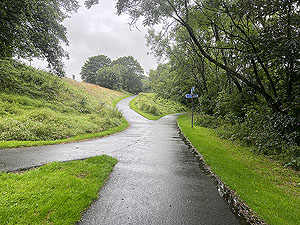
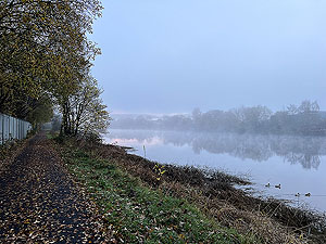
a short pavement takes you through the car park and onto the cycle path that runs along the River Leven.
Enjoy this flat section on tar, using it to warm up before you start to climb. The cycle path runs all the
way to Balloch but for this route we turn off at
3.5 Kms
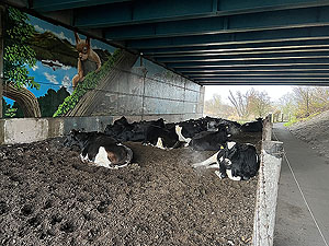
at Renton. The cycle path is very quiet
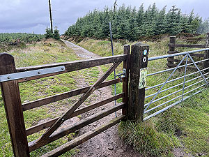
early morning though parts can be partially blocked with cows who take thier time to move out of the way.Once into the Renton and over the footbridge across the main A82 you quickly reach the start of a trail path
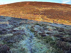
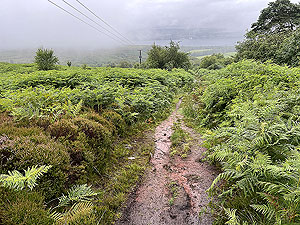
that gets slippy when wet or icy so take care. From here you are on the first main climb, running on trail with some parts a bit boggy.
At
5.5 Kms
you reach the Carman (Cardross road), which is single track and you are only on this
for a short period A right turn takes you off the Cardross road and onto trail after a short dirt road section. Your second climb of the day.
At
7 Kms
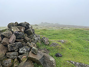
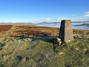
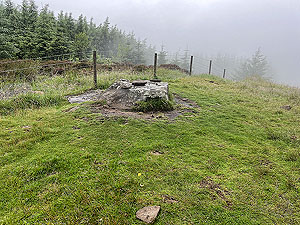
you have a choice of staying on the main trail or heading off to the right to the old fort remains at Millburn Muir.
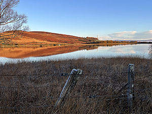
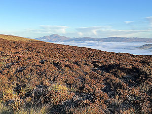
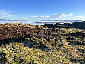
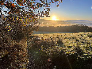
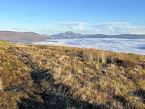
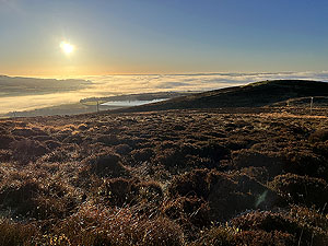
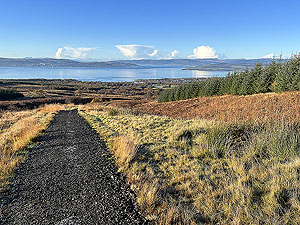
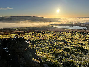
We always take the second option so that is the route of the GPS file if you download. The view here can be wonderful,
which is true of a lot of this route. From the fort the
path onwards is faint, view the picture section, but is easy enough to follow even if a bit muddy. Once on the trail
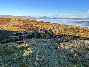
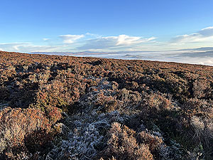
you are heading up and over Overton Muir to rejoin the main path and onwards to Bromley muir.
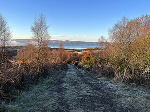
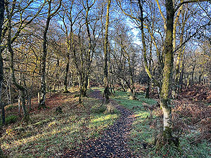
Lovely up here with views all around. The trail leads you eventually to the John Muir way at the Stone Cross.
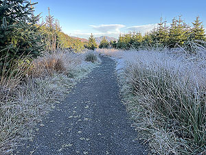
Here you join a dirt road/path for a while. While on the John Muir way you end up in a small but dense wood. The spooky wood.
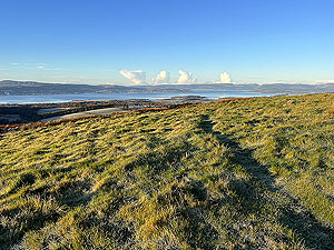
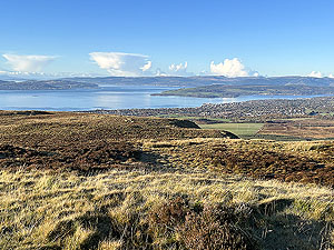
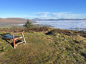
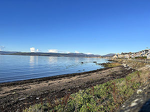
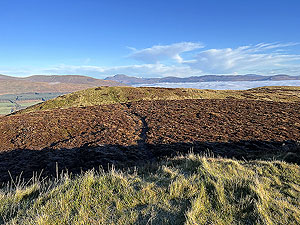
Once out you quickly come across a small path on the right that takes you up onto the top of Gouk Hill. Don't miss
this bit as the Loch Lomond views are brilliant.
The route also takes in Goukhill muir which is signposted as a viewing point and well worth it.
After these two tops, the John Muir way leads us to the three lochs way which is a well signposted
dirt path off to the left. Follow this for about
200 m
then take a sharp right to run alongside
the fenceline. There is a faint trail here and it does get very boggy. This path will eventually
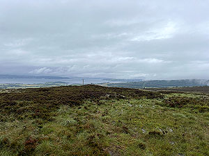
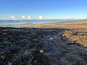
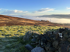
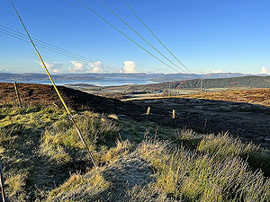
take you onto the top of Ben Bouie and the last of the climbs on this run. Again there are brilliant views to
be had, down to Arran, across to Dunoon and up the Clyde.After you leave the top you will see the trail heading off over the top of the next ridge. Straight ahead
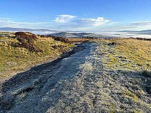
bascially. Follow this trail which will lead you back onto the main dirt path and a long downhill all the
way into Craigendoran. There is a mix of short sections on dirt road, single track road and footpaths before
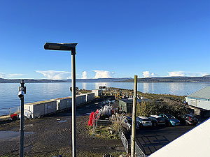
you arrive at the A814 beside the school. A short pavement run after crossing the road leads you into
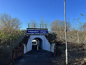
Craigendoran station and trains every 30 minutes to Edinburgh via Glasgow. There are no places to eat here so
if you are hungry then the town of Helensburgh is a short run away. Lots of places to eat, and of course
a railway station.
Hope you enjoy this one.
Details last updated in November 2023.
Route images
Directions
×