
Meikle Tap hill run
The Meikle Tap hill run route is a trail run within North & Grampian. The out and back covers a distance of 13.76 Kms ( 8.55 miles )
and has an elevation gain of 412 m ( 1350 feet )
.
Length
13.8 Kms
Elevation
411.6 m
Max elevation
349.6 m
Difficulty
***
Rating
**
Main road
0 Kms
Country road
0 Kms
Dirt road
9 Kms
Dirt path
4 Kms
Trail
0.8 Kms
;)
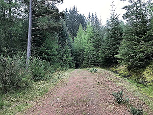
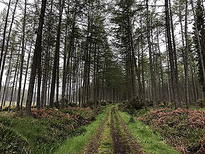
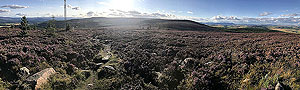
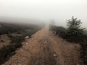
Description
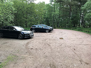
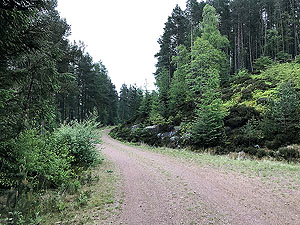
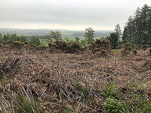
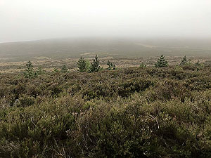
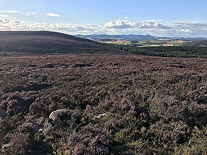
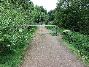
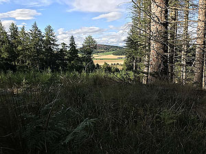
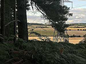
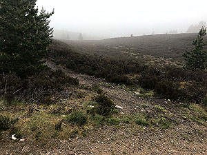
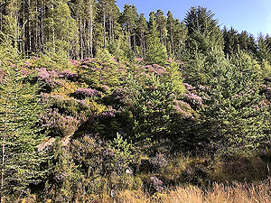
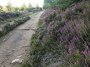
This is an easy to navigate but tough little run due to it being a mainly up to the top then down back to the start. Most of the route is in the forest with good paths and the final section being out in the open with nice views across the countryside. From the car park the route directly starts the first climb for about
0.75 Kms
, takes a left, then flattens out somewhat for the next 1 Kms
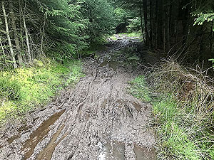
. And this is the point where you hit an interesting part. The main path appears to come to a sudden end, but there is a small path heading through the trees. Even in summer this seems to be a muddy and slippy
100 m
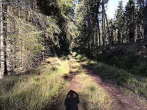
or so - your shoes will get dirty here as will you. Once out you are on a long straight which is slightly downhill until you reach the 3 Kms
mark at which point you are heading back uphill with the path bending to the right.Around the
5 Kms
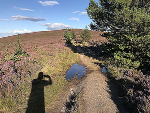
mark, beside the electric pylon route you hit a crossroads and the path takes a sharp left and heads up the steeper hill. All uphill to the top now and you get out of the trees at about 5.5 Kms
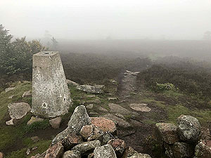
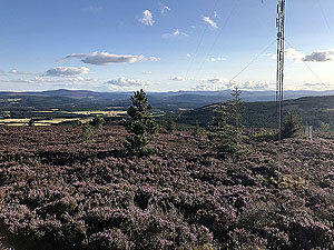
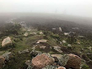
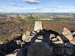
with the Meikle Tap appearing on your left. Take the first path on the left and follow this main path all the way to the top. The views from the top can be lovely on a nice day across the Aberdeenshire countryside, but of course there are days when you can't see anything at all. As this is an out and back, then just follow your tracks back to the car park. There are some possible little add ins to the route to make it longer. One of those is to include Hill O Fare which takes you up to
20 Kms
. This we will include as a separate route.Details last updated in May 2019.
Route images
Directions
×