
Meall Liath trail run
The Meall Liath trail run route is a mainly forest road run within Loch Lomond and the Trossachs. The loop covers a distance of 14.25 Kms ( 8.85 miles )
and has an elevation gain of 377 m ( 1237 feet )
.
Length
14.3 Kms
Elevation
377.1 m
Max elevation
378 m
Difficulty
***
Rating
***
Main road
0 Kms
Country road
2.6 Kms
Dirt road
8.5 Kms
Dirt path
2.8 Kms
Trail
0.4 Kms
;)
Description
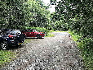
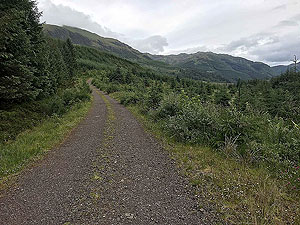
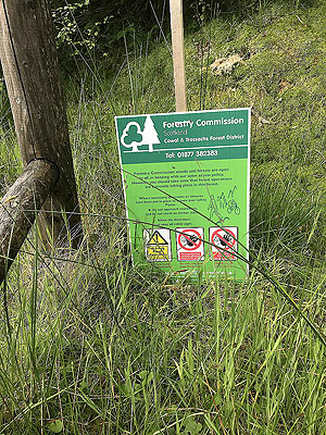
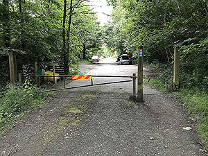
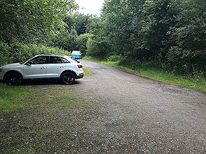
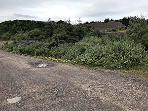
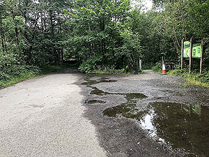
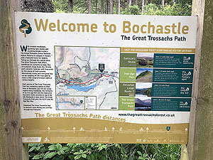
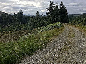
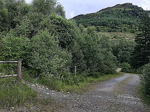
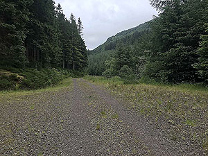
A standard Trossachs style running route from the small Bocastle car park at Kilmahog. This route has a variety of different running surfaces and with nearly all the climbing in the first half of the route.
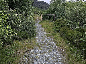
From the car park head up the hill on the forest road. After just under
1 Kms
you go past a small quarry. This is a working quarry so take care going past though it is usually empty.
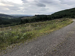
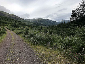
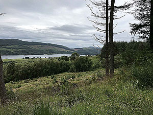
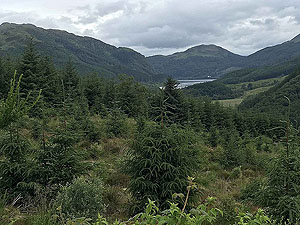
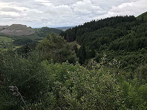
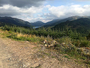
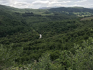
The climb continues and you are rewarded with some brief sights of Loch Venachar on your left through the trees. After that it is out into a more open section with Ben Ledi on your left. You do go over the main Ben Ledi hill path about the
3.8 Kms
mark. You can alter this route to tackle the hill and rejoin this route futher one. Check out the Ben Ledi route to see this route.
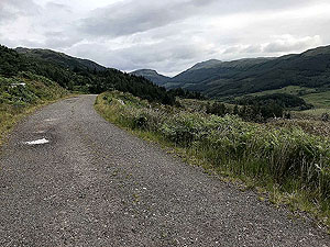
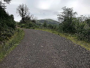
The route is most a varied climb with some short flat or downhill sections. At
5.6 Kms
you leave the main dirt road and follow the rocky path up the side of the Stank burn. You can choose to just stay on the main path, but the views are nicer by takign this higher route. Another 0.4 Kms
and you turn right taking the dirt road down the other side of the burn. You can elect also to go further up the side of the burn before heading back down.
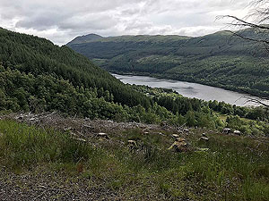
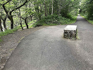
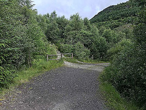
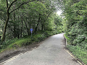
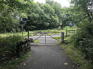
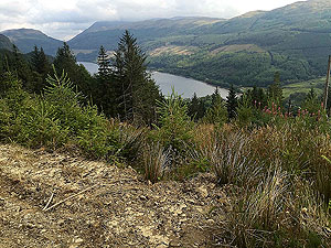
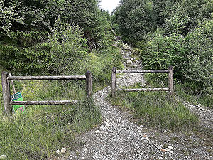
You are surrounded by trees on the way back the hill and only really see Loch Lubnaig when you suddenly arrive at its shores. Turn right along the old railway line towards Forest Holidays Strathyre cabin sites. The route is a public right of way and goes straight through the holiday village. The route is now a single track road for about
2.4 Kms
. Keep on this road past the metal bridge and the small Ben Ledi car park. There is a tarred path at the end of the road on the right hand side. Take this.
After about
12.4 Kms
you have a choice of staying on the tarred road or heading off to the left on the small trail. The routes are basically running in parallel with the trail offering the better views and more of a challenge for the run. The route shown here is on the main tarred path.
You are soon reaching the end of the run and the main road crossing is in sight. Take the path up to the right back to the car park. This roure can also be accessed from the Calendar car park and using cycle route 7 to get to the Bocastle car park. This adds on about
5.5 Kms
to the total run and it is a nicer place to relax after the run. Ducks and swans.Details last updated in July 2020.
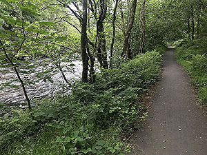
Route images

Directions
×