
Lochs Voil and Doine road run
The Lochs Voil and Doine road run route is a country road run within Loch Lomond and the Trossachs. The out and back covers a distance of 38.1 Kms ( 23.67 miles )
and has an elevation gain of 570 m ( 1870 feet )
.
Length
38.1 Kms
Elevation
569.9 m
Max elevation
189.7 m
Difficulty
**
Rating
****
Main road
0 Kms
Country road
31.6 Kms
Dirt road
6.5 Kms
Dirt path
0 Kms
Trail
0 Kms
;)
Description
This is a semi-regular route we do when in training for marathons. As it is an out and back we sometimes cut it shorter in length depending on where we are in training. Although this is on country roads, they are usually very quiet and some of the scenery on this route is brilliant for a road run.
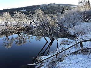
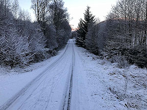
The route starts of in the large car park at Stathyre before crossing the small bridge over the River Balvag. This starts with
3 Kms
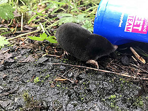
or so of undulating roads with lots of trees on both sides. We call this part of the route 'Red squirrel alley' due to the frequent sighting of these lovely wee animals.
Around the
3 Kms
mark you are out of the trees and the countryside opens up as you head west towards the village of Balquidder. The road all the way to Balquidder is very light with traffic. At 6 Kms
you are coming into the village and it is worth noting that a small diversion can take you up to the grave of Rob Roy.
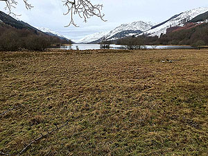
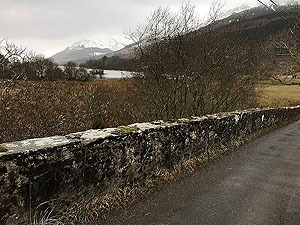
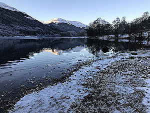
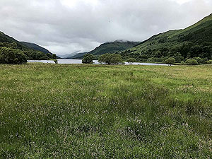
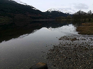
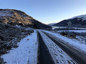
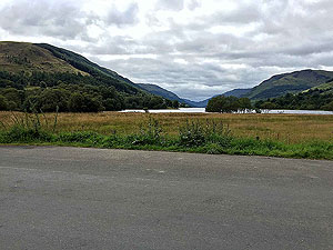
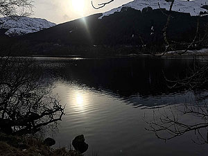
Heading west away from Balquidder you have Loch Voil on your left and a fine country road for running on. There will be some more cars on this section but still not a lot. The road takes you down beside the loch in parts and on a good day it is really lovely. It can be tough going on a cold, windy and wet day as the rain comes flying down the glen.
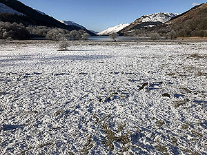
At the
12 Kms
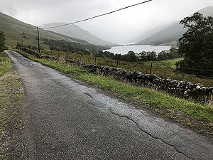
mark you are past Loch Voil and the Monachyle Mhor hotel. The hotel is the reason for most of the traffic on the road so once past this point there are even less cars. The road does become a little more uneven but still tarred and a joy to run on. Loch Doine is now to your left.
Just shy of the
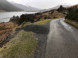
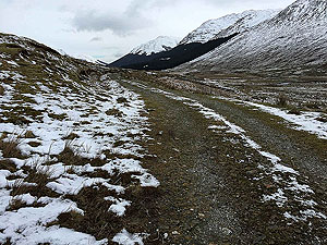
16 Kms
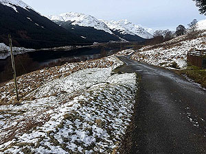
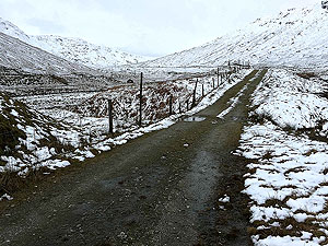
mark you approach the car park at Inverlochlarig which was the site of Rob Roy's house. The car park is there for hill walkers attempting hills such as Ben Moore. The car park marks the start of the dirt road which is good quality. Once past the farm you are out in the wild open and heading west. We turned at the 18 Kms
mark and headed back but the road does go on a bit further to the foot of Beinn Cabhair and Beinn a Chroin. We may attempt the full run, or use a different starting point in the near future.
Great route for a road one.
Details last updated in April 2020.
Route images


Directions
×