
Glen Fruin to Loch Long
The Glen Fruin to Loch Long route is a trail and road run within Loch Lomond and the Trossachs. The out and back covers a distance of 21.32 Kms ( 13.25 miles )
and has an elevation gain of 664 m ( 2180 feet )
.
Length
21.3 Kms
Elevation
664.5 m
Max elevation
290.2 m
Difficulty
***
Rating
**
Main road
0 Kms
Country road
8.2 Kms
Dirt road
13.1 Kms
Dirt path
0 Kms
Trail
0 Kms
;)
Description
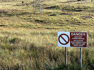
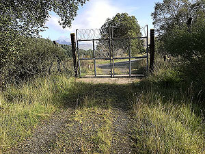
One of our failures as we ran into the razor wire fence of Glen Douglas military site. This we should have stayed on the low road but felt ready for some hills. Given we did this route a during a marathon training taper week it probably wasn't the best idea. We will go back and report on how far we can get on the low path soon.
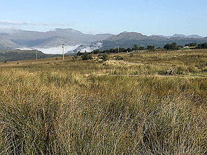
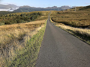
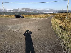
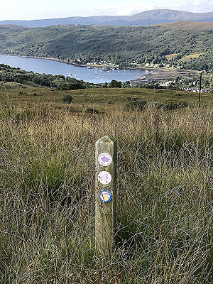
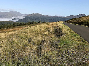
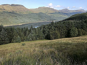
The route we took takes you on small country road for the first, and last,
4 Kms
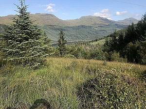
. We had a sunny day and this part was one of the best short road runs we have done with outstanding views. The main picture for this description will hopefully give you an idea of what to expect.
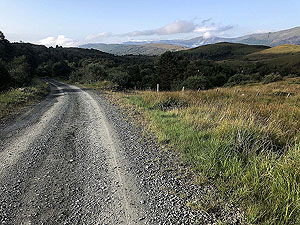
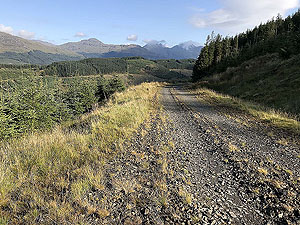
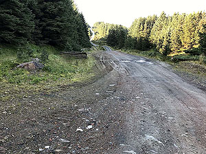
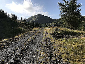
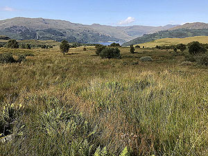
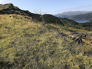
Once off the tarred road we headed up the hill and enjoyed some hill and undulating paths. The forest for most of this is thick so you are limited on the viewing front. This does open out near the end but of course the route ends as well shortly after that. We didn't realise we were on a path heading into Glen Douglas site, but perhaps we need to improve our map reading skills.
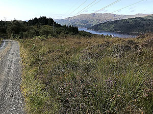
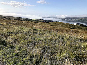
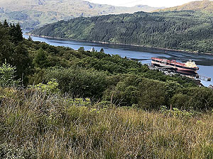
On the way back we headed on the lower path which did offer a lot of nice views along Loch Long. This does join back onto the same tarred road as you came out on.
An unusual feature about this route is that you may run into military personnel policing the area. They were nice and friendly when we were there, so remember a nice smile and wave.
Details last updated in September 2018.
Route images
Directions
×