
Loch Eck west side
The Loch Eck west side route is a forest road run within Loch Lomond and the Trossachs. The out and back covers a distance of 28.84 Kms ( 17.92 miles )
and has an elevation gain of 366 m ( 1201 feet )
.
Length
28.8 Kms
Elevation
366 m
Max elevation
76 m
Difficulty
**
Rating
***
Main road
0 Kms
Country road
5 Kms
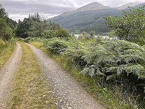
Dirt road
23.8 Kms
Dirt path
0 Kms
Trail
0 Kms
;)
Description
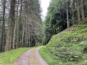
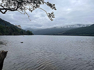
This is a very enjoyable easy route to folllow down the west side of Loch Eck. It is advertised as a cycle route but as usual there were no bikes to be
seen while we were running. Although we had considered trying to make this a loop by using the forest tracks on the east side of the loch we were
concerned about stretches on the main road. So for the time being this route is an out and back but we will research this further.
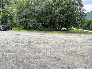
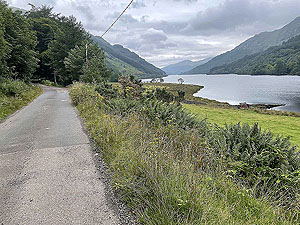
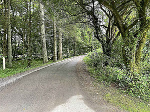
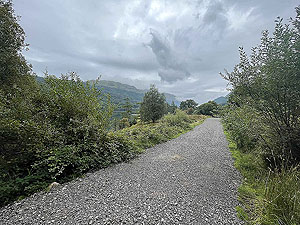
From the large car park we take a right onto the small tarred road and then left past the small farm and onto the route proper. Very simple to follow and
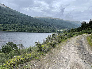
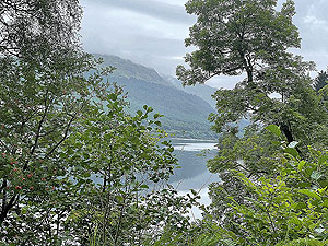
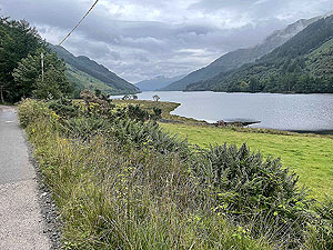
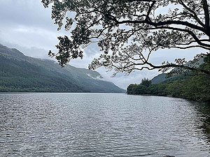
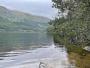
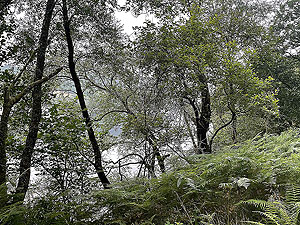
you are soon out in the open before heading into the trees. During the first part of the route there are several views of the loch but generally you
are blocked by the trees.
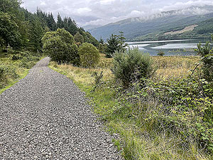
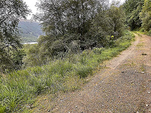
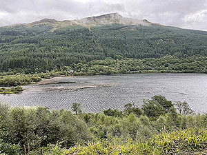
At the
6.5 Kms
mark you start a descent down to the loch side and the views improve from that point. The track also improves before finally becoming
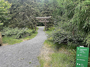
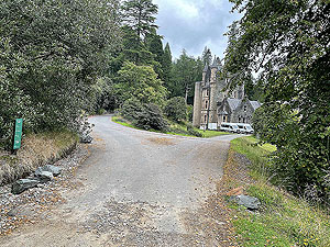
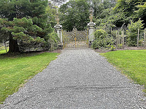
a single track tarred road at the end of the loch. For this description we take the route into the Benmore Botanic gardens and up to the famous golden gate.
We did actually run on a little bit further and you could of course exit the gardens and out onto various trails and small roads nearby.
We used this route as a marathon training exercise and were very happy with it as the elevation wasn't too much and the views lovely.
Details last updated in October 2021.
Route images


Directions
×