
Strathyre and Loch Earn
The Strathyre and Loch Earn route is a trail and road run within Loch Lomond and the Trossachs. The out and back covers a distance of 35.8 Kms ( 22.25 miles )
and has an elevation gain of 440 m ( 1445 feet )
.
Length
35.8 Kms
Elevation
440.4 m
Max elevation
156.1 m
Difficulty
**
Rating
***
Main road
0 Kms
Country road
20.2 Kms
Dirt road
0 Kms
Dirt path
15.6 Kms
Trail
0 Kms
;)
Description
This is a route we have done several times though usually as part of a marathon training program. As it is an out and back it's ideal for training. That said, it is a really nice route and not too hilly.
The first part, about
8 Kms
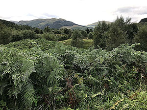
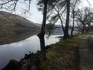
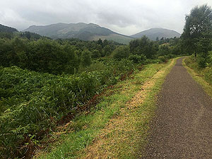
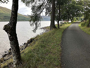
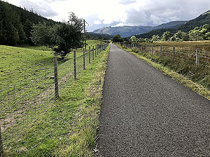
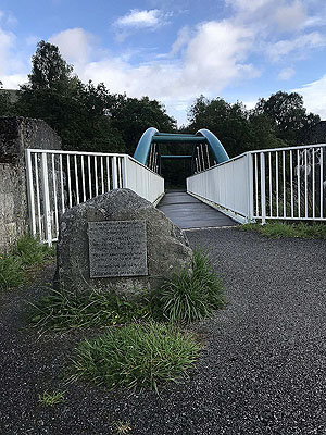
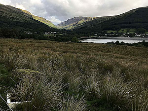
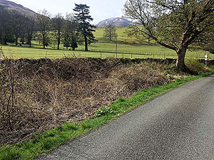
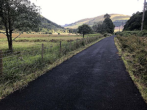
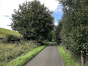
, follows the cycle trail number 7 from Strathyre to Lochearnhead. At weekends this part can be popular during a sunny day with cyclists of all ages. Most of the path is tarred but parts are well formed and maintained dirt paths. This is part of the old railway line and features open space along with parts in the trees. It is actually rather calming on this part which is perhaps due to the mild variation on the path. The path pops out at Lochearnhead, from where you head back on pavement beside the main road before crossing the road and onto the south Loch Earn road.
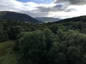
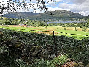
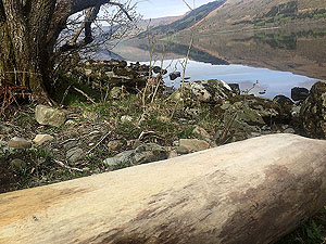
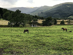
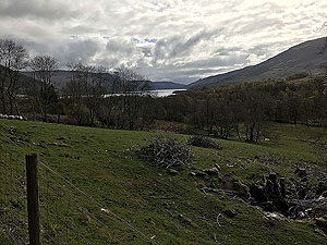
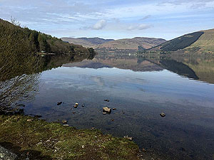
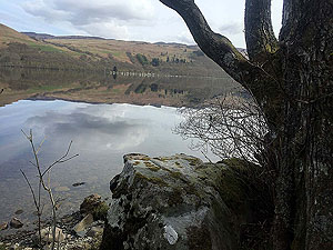
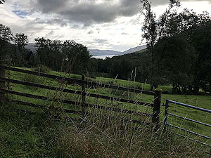
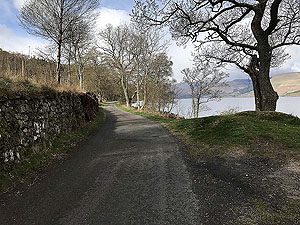
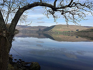
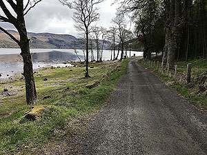
The road is a small country road but there can be frequent traffic on it. Mainly fishermen, sorry fisher people, and those out for a bit of hill walking with Ben Vorlich and Stuc Chroin close by. The road is very undulating and for a good stretch runs alongside the loch. Try to choose a sunny day for this one as it can be so, so nice alongside the loch. The road is taking you to St Fillans, but on this route we turn back just prior to that at the holiday caravan site.
This is a route we will return to, probably as part of a training program.
Details last updated in August 2018.
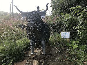
Route images
Directions
×