
Loch Ard forest run
The Loch Ard forest run route is a hill trail run within Loch Lomond and the Trossachs. The loop covers a distance of 27.38 Kms ( 17.01 miles )
and has an elevation gain of 416 m ( 1365 feet )
.
Length
27.4 Kms
Elevation
416 m
Max elevation
155 m
Difficulty
**
Rating
***
Main road
0 Kms
Country road
3.9 Kms
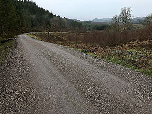
Dirt road
20.5 Kms
Dirt path
3 Kms
Trail
0 Kms
;)
Description
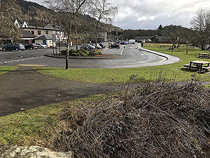
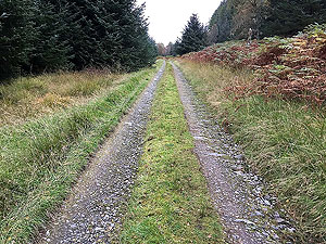
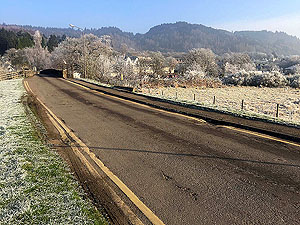
Another run from the town of Aberfoyle and this is one of the ones which we have done many times as it is a good length, not too hard and varied views. The route takes you for about
1.5 Kms
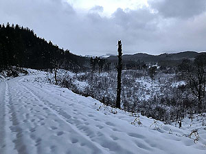
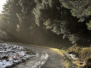
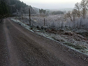
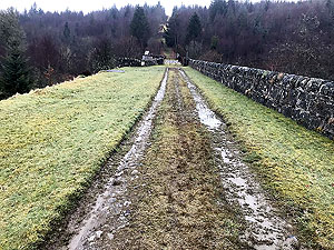
on a small tar road before turning into a dirt road as you head into the forest. If you don't know Loch Ard forest then a map or GPS is a must as it seems like paths are heading off in all directions. A lot of the paths do fizzle out, even when shown on ordinance survey maps so be careful in planning alternative routes.
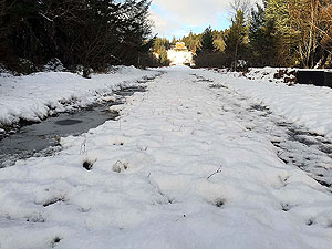
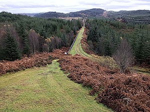
The route is flat and in the trees until about
2.5 Kms
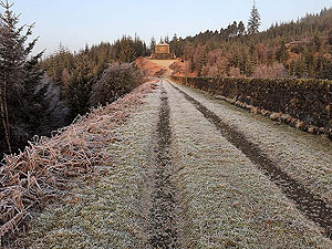
when you start the first of the hills. This gets the heart rate up before heading back down the hill with views of Ben Venue in distance. The path then has a few ups and downs before opening up just after 7 Kms
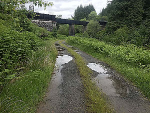
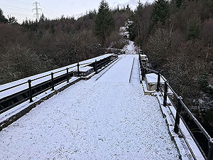
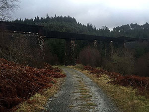
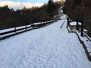
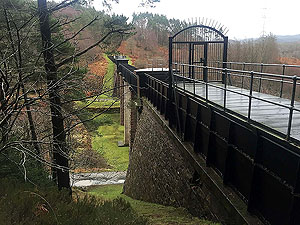
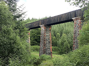
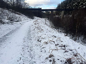
with the Duchray Bridge. You cross the bridge which is part of the old Loch Katrine to Glasgow water supply and then a sharp serious of zig zags to get you up to face the old pumping station. All the Victorian engineering on display here is very impressive as you pass several of the old aqueducts.
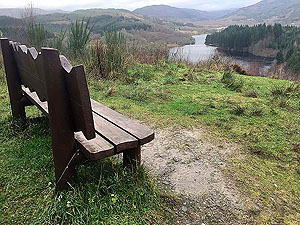
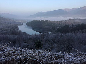
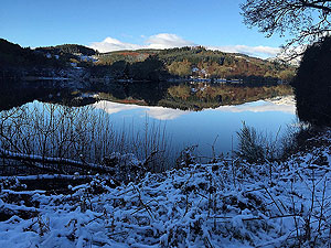
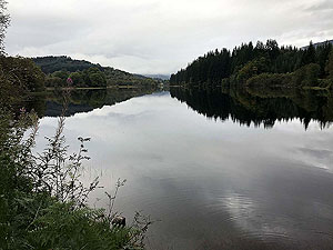
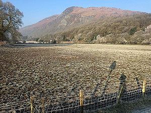
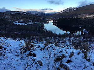
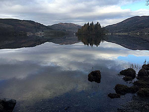
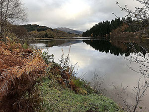
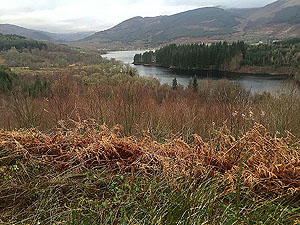
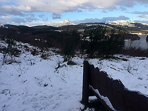
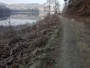
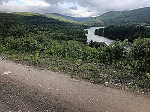
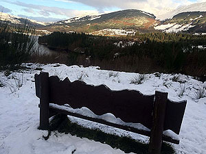
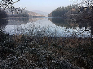
You are now mainly out of the trees and the path swings back towards Aberfoyle and you start to gain wonderful views over Loch Ard. You'll see a track down by the loch, you'll be there soon. We head back into the trees but the path starts to become mainly downhill. A sharp turn to the left takes us back the way we came but descending towards the loch. Although you are in the trees if the weather is good you can get some wonderful views across the loch. A small loop exists just before the
15 Kms
mark where you can add a little more distance and stay beside the loch for longer. At marker 22.
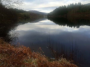
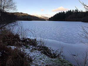
Shortly after the
15 Kms
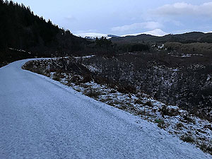
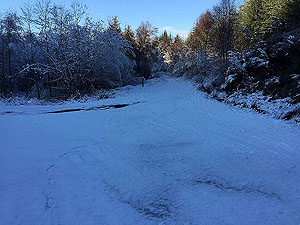
mark you are right beside the loch and this is such a wonderful place that we always have a little break here and just enjoy it. And now you are heading back up hill and actually come to a junction you went through earlier, but you are taking a different route back. The route is open and parts of it can seem like a bit of a slog but not long before you pass the Duchray Bridge and start the last and highest hill climb. Always a blow when the big climbs come late. The path in this section does become a little worse and can get wet and muddy in winter but nothing too bad.
There are several climbs during the run with the largest being close to the end at about
20 Kms
. There is a total climb of about 590 m
but the last few kilometres are a gradual downhill to the finish - real good opportunity to stretch tired legs.
Details last updated in May 2018.
Route images
Directions
×