
Run 5 lochs from Kinlochard
The Run 5 lochs from Kinlochard route is a forest road and trail run within Loch Lomond and the Trossachs. The out and back covers a distance of 26.88 Kms ( 16.7 miles )
and has an elevation gain of 467 m ( 1532 feet )
.
Length
26.9 Kms
Elevation
467 m
Max elevation
230 m
Difficulty
***
Rating
**
Main road
0 Kms
Country road
0 Kms
Dirt road
19.5 Kms
Dirt path
0 Kms
Trail
7.4 Kms
;)
Description
This 5 loch route from Kinlochard has been something of a challenge for us to actually complete. Several attempts have been twarted with closed access to foreset areas or the paths being under a landslide. However, here is the route in full and the best way.
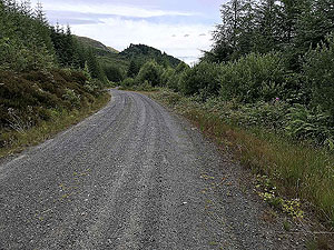
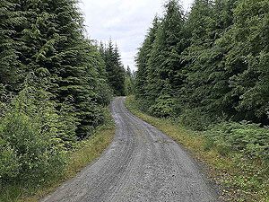
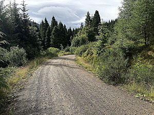
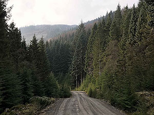
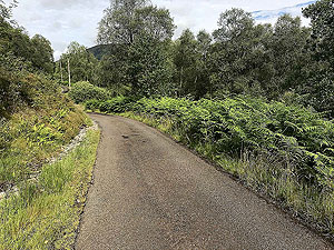
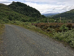
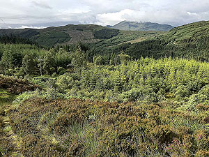
The route in mainly good quality forest road with
7.4 Kms
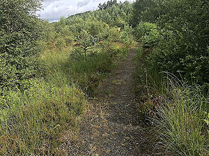
of trail along the way. Part of that trail from the crossing of the B829 to the road along Loch Katrine is difficult to follow in parts, especially in summer when everything is overgrown. We do recommend you have some sort of navigation aid on that section.
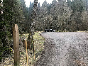
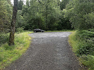
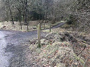
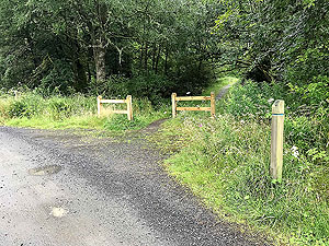
The route heads out of the car park and you quickly find the small uphill path on the right. This is only about
500 m
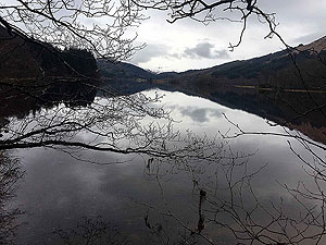
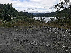
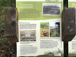
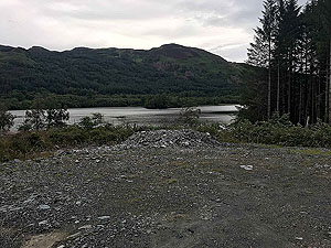
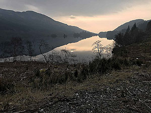
and brings you onto the forest road where you turn left. In the first section of this Loch Ard can be seen behind you.
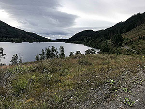
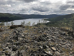
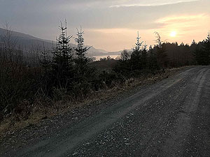
The forest road continues in and out of the trees and takes you past Loch Dhu, Inversnaid and Loch Chon. This part is nice enough, but very undulating. You join the Great Trossachs way just before the forest road meets the B829 where you take a left. This is about
8.8 Kms
into the run.
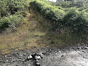
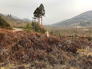
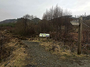
This is where things start to get interesting as the trail crosses the road and takes you uphill. For a short while on forest road again. At just after
9.8 Kms
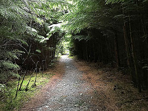
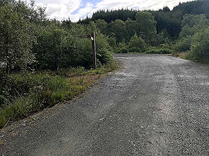
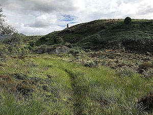
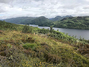
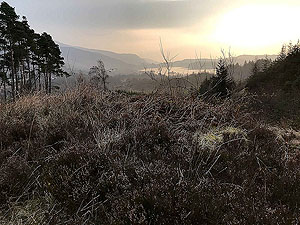
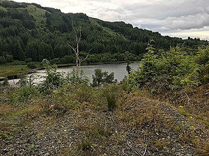
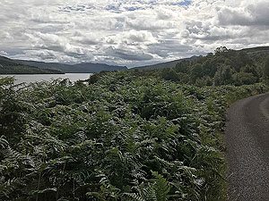
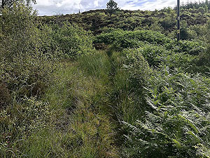
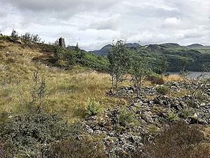
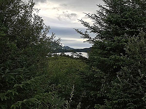
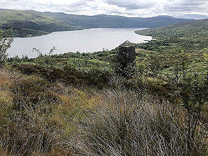
you leave the forest road and take the faint path on the left. This is currently marked with an arrow made from stones, but if you are still on forest road and back in the trees you have gone too far. Check the picutres for this route to get an idea of what the path look likes. This section is real trail and difficult to see the actual path in places during the summer. In our last summeer visit the ferns were higher than we were which made for a lot of stops to check where we were going. This section rewards you with great views over Loch Katrine.
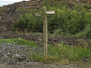
The trail section ends when you hit the small private road beside the Royal Cottage. You take a left and follow the road until you reach a tee junction where you take another left. You will see the path on the right after about
100 m
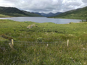
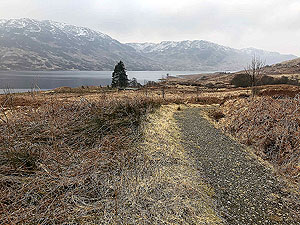
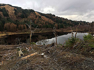
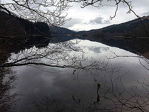
. The path takes you towards Loch Arklet where you take the path down to the towards the road and the top of the loch.
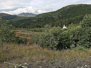
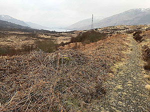
From here the trail takes alongside the B829 though slighly up the hill. You cross the B829 two times before rejoining the forest road alonside Loch Chon and back the way you came to the car park.
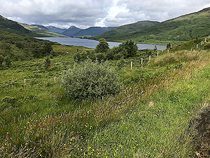
The route can be extended to include Loch Lomond by following the train along Loch Arklet, but would mean coming back the same way. As we mentioned at the start this route does seem to have more than its fair share of closures. However, keep in mind that the small roads here do not have a lot of traffic and make good road running routes.
Details last updated in July 2020.
Route images
Directions
×