
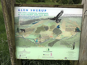
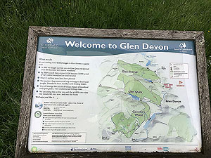
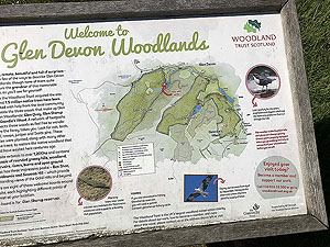
Glen Sherup hill loop
The Glen Sherup hill loop route is a trail run within Perthshire, Kinross & Angus. The loop covers a distance of 16.04 Kms ( 9.97 miles )
and has an elevation gain of 623 m ( 2046 feet )
.
Length
16 Kms
Elevation
623.5 m
Max elevation
636.7 m
Difficulty
****
Rating
****
Main road
0 Kms
Country road
0.6 Kms
Dirt road
3.3 Kms
Dirt path
0 Kms
Trail
12.2 Kms
;)
Description
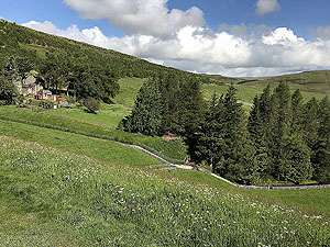
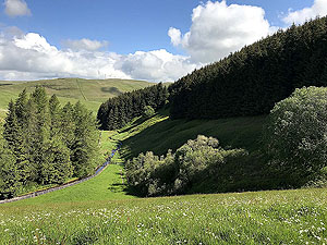
Be warned that this route has a lot of climb in it at almost
635 m
elevation gain. However, the views are spectacular if you
can manage it.
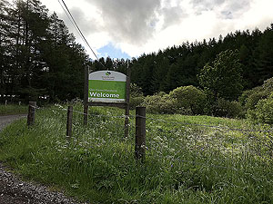
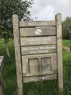
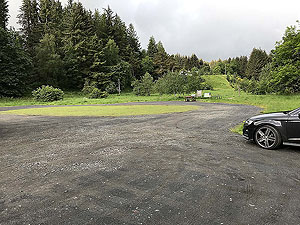
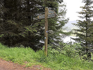
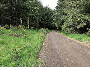
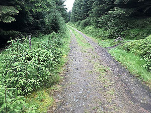
From the car park follow the small path behind the information signs up through the trees. This joins the main forest road after about
300 m
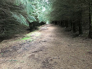
and you start the long climb on this road up to about the 3.5 Kms
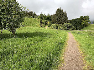
mark. At that point you have to take the path following the
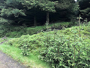
fire break. This is marked on the left by a little sign and on the right by a small cairn. The path through the fire break is wide, muddy in parts
and actually makes for a good running surface.
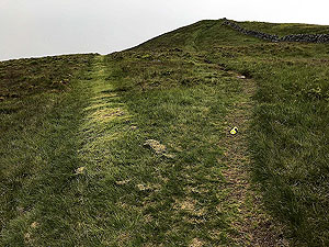
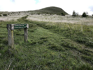
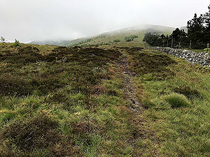
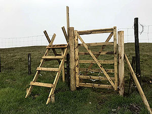
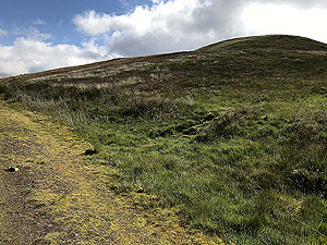
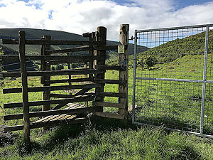
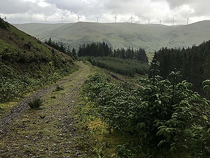
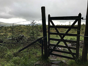
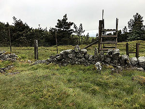
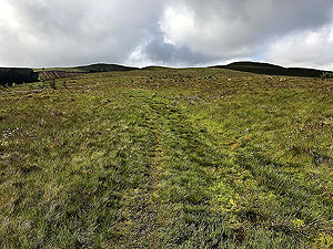
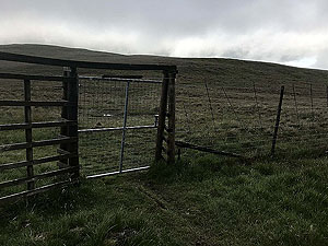
The end of this section is marked by a gate. Once through follow the faint grassy path directly on the right, don't follow the markers
at this point. You now have what feels like a long run to the top of Innerdwonie. It is less than
2 Kms
but the uphill makes it
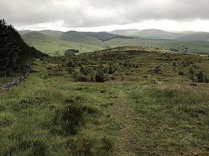
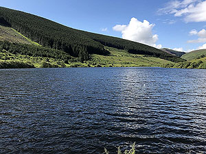
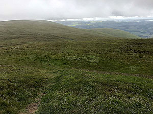
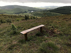
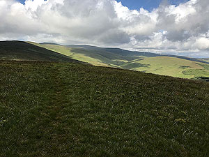
feel longer. The views if there is no mist are brilliant.
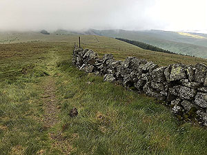
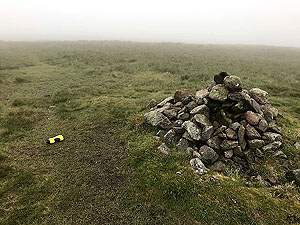
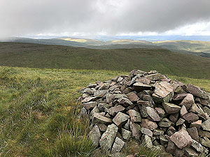
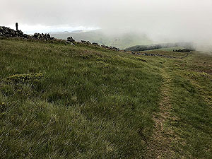
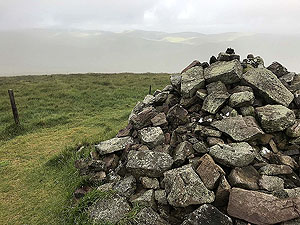
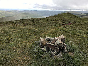
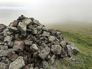
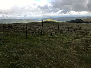
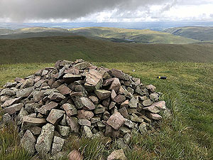
A small hole in the wall lets you visit the first of the cairns. Keep on the grassy track with the wall and fence on your right hand side. Another
2 Kms
or so takes you to the top of Whitewisp Hill. If you look back you will see that you have actually had a bit of downhill before
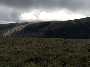
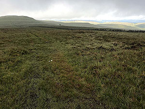
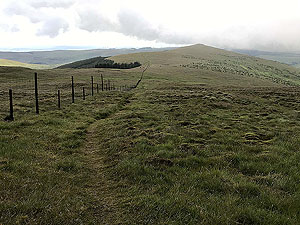
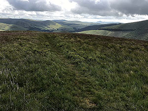
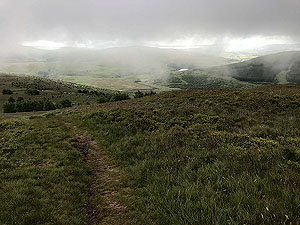
the climbing started but it doesn't feel like that. Here and at most parts of this route you are out in the open, so take special care
when choosing your day to run this. There are no hiding places.
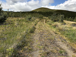
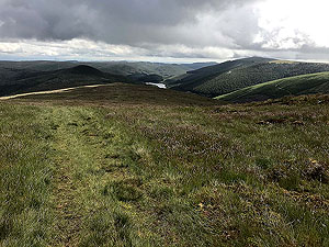
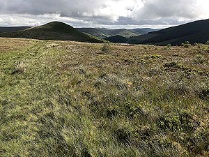
From Whitewisp Hill to the next summit of Tarmangie Hill is not too bad and the ground makes for good running even if a little boggy
in places. After Tarmangie we have less than
4 Kms
to the top of Ben Shee. This is mostly easy running apart from the short sharp
ascent for the last 500 m
. Again the views can be stunning.
Once past Ben Shee it is mostly downhill. After last style of the run at
13.7 Kms
turn sharp right. Do not follow the main path, but keep to
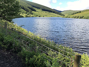
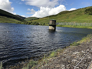
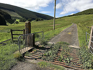
short grassy path that stays very close to the fence. This path quickly drops you down onto the small tarred road leading to the dam. Follow the
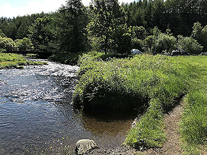
road up to and over the dam.
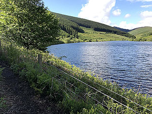
At the dam a gate on the left lets you access the path across the dam. Once across a short uphill path takes you back onto the forest
road from the car park. From here a short downhill back to the car park.
Details last updated in June 2019.
Route images
Directions
×