
Running in Glens Kendrum and Ogle
The Running in Glens Kendrum and Ogle route is a trail run within Loch Lomond and the Trossachs. The loop covers a distance of 24.52 Kms ( 15.24 miles )
and has an elevation gain of 539 m ( 1768 feet )
.
Length
24.5 Kms
Elevation
539 m
Max elevation
587 m
Difficulty
****
Rating
****
Main road
4 Kms
Country road
0 Kms
Dirt road
20.5 Kms
Dirt path
0 Kms
Trail
0 Kms
;)
Description
At almost
25 Kms
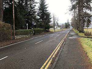
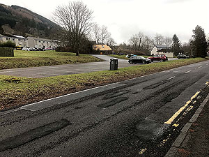
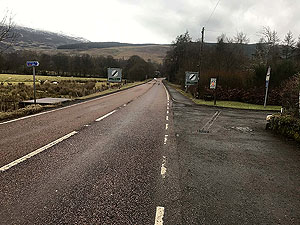
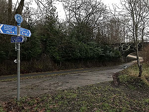
and with a lot of uphill this is a tough but very rewarding run. The start of the route takes you from the car park up onto Route 7 cycle track. The first 1 Kms
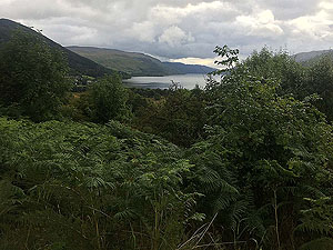
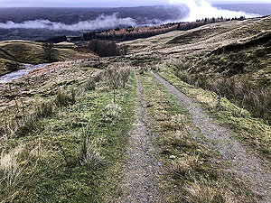
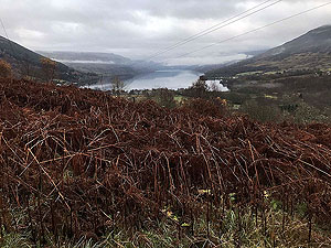
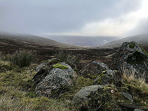
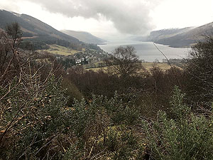
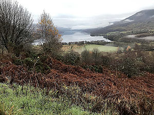
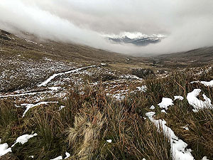
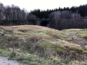
of flat running along the pavement gets you nicely warmed up for the first section of uphill. This is tarred, and zig zags up the hill. Great views are offered over Lochearnhard, the mountains and the loch itself. On meeting the old railway line proper you have a turn to the left then a short flat section before heading off to the right and into Glen Kendrum for the start of a long uphill section.
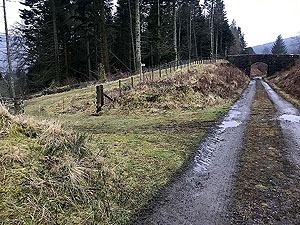
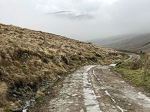
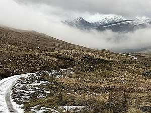
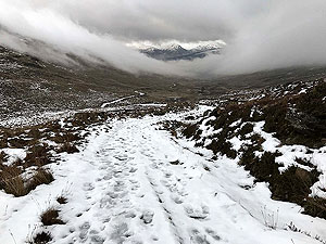
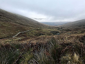
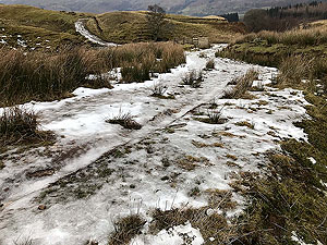
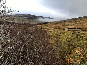
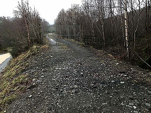
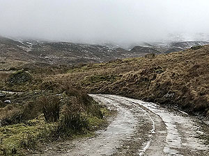
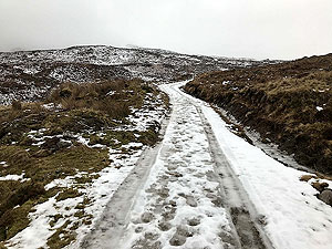
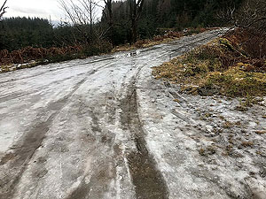
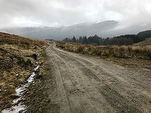
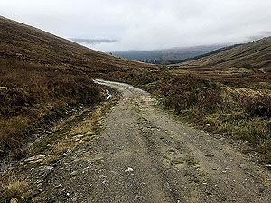
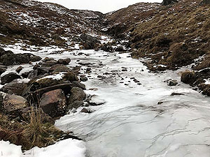
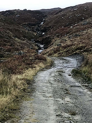
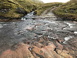
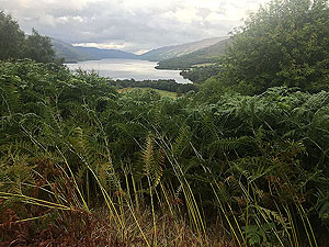
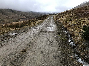
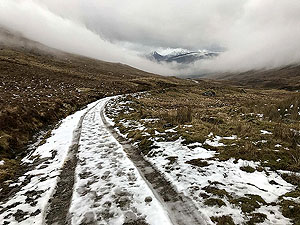
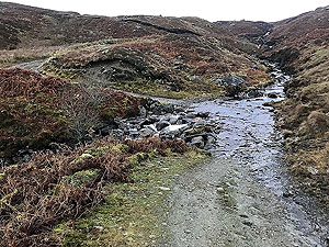
These are landrover style paths and are well maintained with a couple of fords to negotiate along the way. You are out in the open with no tree cover till you get to the old railway line. So far we've hit mist higher up every time we have run this route, but we will keep going for that clear day. Be very careful in winter as the paths here are unforgiving with ice which you can see on the pictures available. Post Glen Kendrum you are into Gleann Dubh and a long downhill section to meet the old railway line. The second ford on the route, just before the railway line, marks a possible alternative path but forestry works have made these routes a mess of branches and difficult to run. So, head across the ford getting your feet chilled and down to the old railway line. You are now in Glen Dochart.
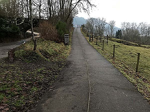
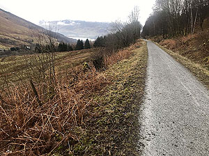
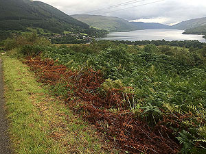
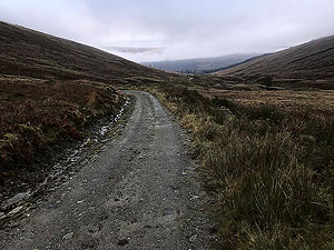
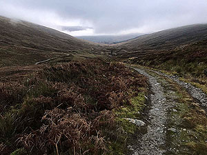
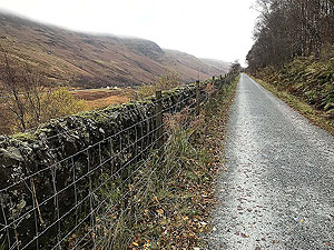
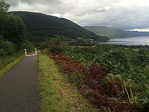
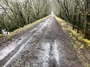
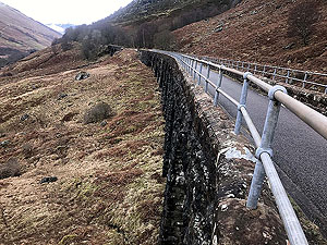
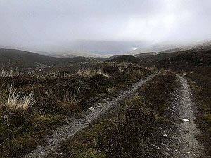
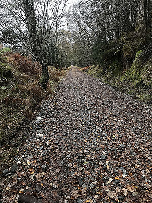
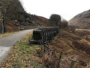
The railway line is a pleasure after the steep ups and downs but is a gradual uphill till it comes close to the main road at its highest point in Glen Ogle. From this point beside the old railway station you have a good quality path all the way back to Lochearnhead. The path being a mix of tarred and good quality dirt road and gives you nice views on the left all the way down. About one kilometre after the station at the top you have a choice of taking the old military path. This path is a trail and follows close to the main road and gives you a more gradual descent into Lochearnhead. However, the old railway line gives you the best views and takes you across the old viaduct. Shame that the main downward section is the steep section that you started on. The route shown here and associated GPX is the old railway line.
Details last updated in November 2018.
Route images
Directions
×