
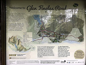
Glen Finglas run loop
The Glen Finglas run loop route is a hill trail run within Loch Lomond and the Trossachs. The loop covers a distance of 25.34 Kms ( 15.75 miles )
and has an elevation gain of 931 m ( 3056 feet )
.
Length
25.3 Kms
Elevation
931.3 m
Max elevation
597 m
Difficulty
***
Rating
*****
Main road
0 Kms
Country road
6.5 Kms
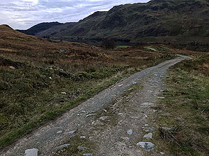
Dirt road
18.8 Kms
Dirt path
0 Kms
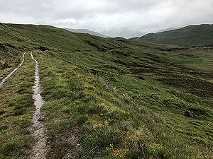
Trail
0 Kms
;)
Description
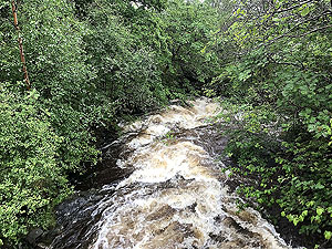
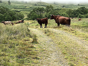
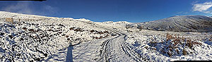
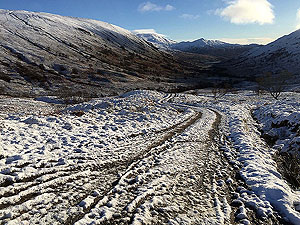
A lovely looping run up past the reservoir. A lot of climb but well worth it and one of our favourite runs.
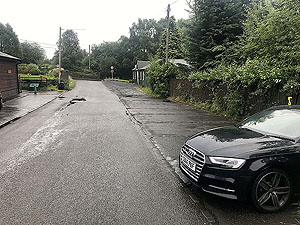
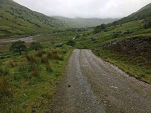
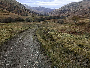
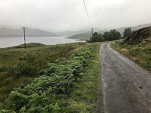
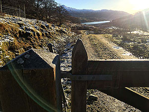
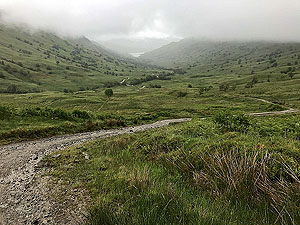
The route starts off from the car park outside the community centre and heads along a single tracked road. There is small car park further up the single road just before the hill.
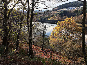
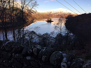
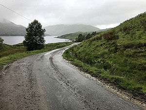
A tee in the road marks the start of the first climb up above the reservoir on a windy road.
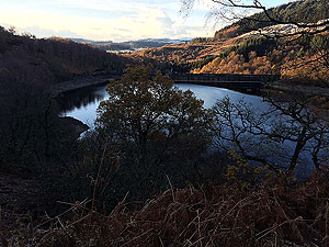
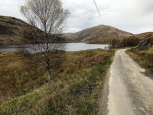
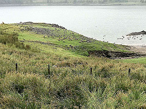
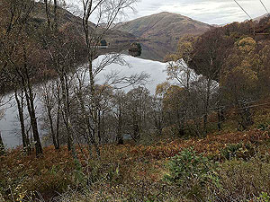
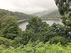
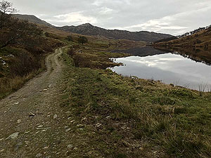
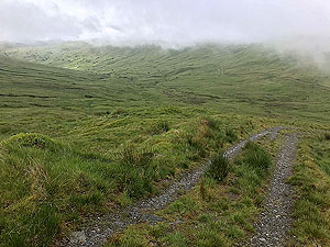
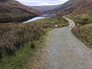
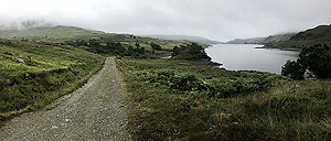
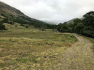
You are then in tree lined road for a kilometre or so before coming out into the open glen. The reservoir on your left and the hill in the distance in front of you.
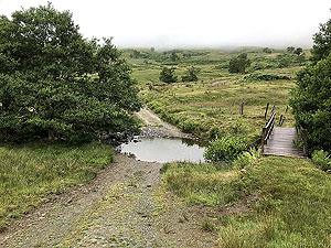
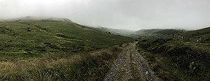
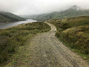
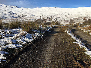
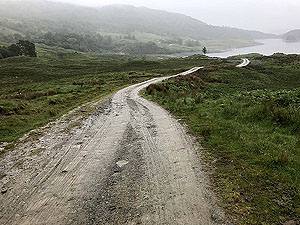
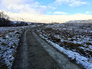
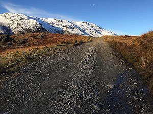
The road turns to a dirt road and stays that way until returning. However this is a well made path used by 4x4s.
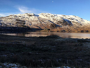
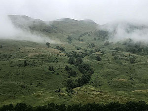
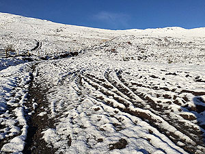
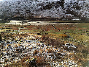
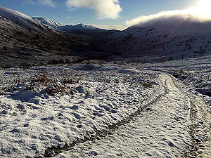
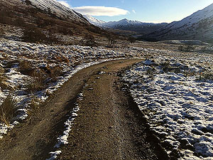
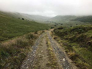
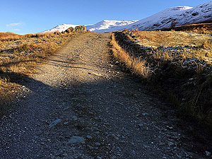
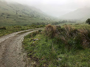
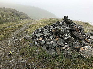
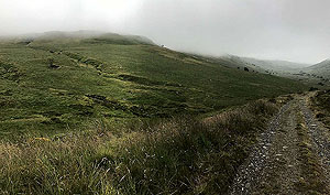
After a distance a crossing over a small burn marks the start of the main climb which also offers brilliant views. This is one of those routes that seems to change a bit every time you run it. We suspect this is due to the fact that it's hard to take it all in on one run.
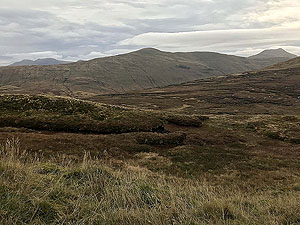
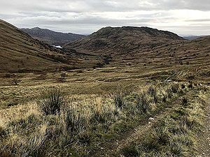
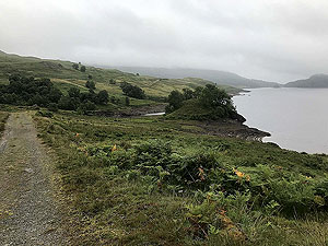
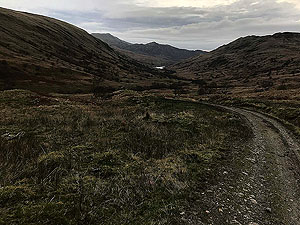
From the top part of the trail, it's a mixed downhill (mostly) then flat and minor up back to the reservoir.
From there a simple follow the way you came.
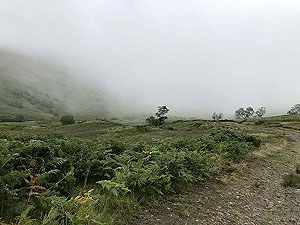
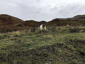
You sometimes see people on this route, but generally you have it on your own so take appropriate safety measures.
The variety on this route makes it a wonderful run and even the downhills are not too steep or technically difficult to stop a full speed ahead run.
The weather can be an issue along with ice so be prepared to retreat if conditions dictate.
Enjoy
Details last updated in July 2018.
Route images


Directions
×