
Glen Loin trail loop from Arrochar
The Glen Loin trail loop from Arrochar route is a trail and dirt road run within Loch Lomond and the Trossachs. The loop covers a distance of 17.8 Kms ( 11.06 miles )
and has an elevation gain of 366 m ( 1201 feet )
.
Length
17.8 Kms
Elevation
366 m
Max elevation
306 m
Difficulty
***
Rating
*****
Main road
0.1 Kms
Country road
0.5 Kms
Dirt road
13.2 Kms
Dirt path
0 Kms
Trail
4 Kms
;)
Description
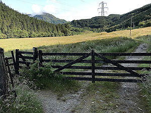
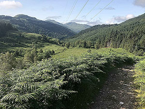
We have updated this route in March 26 as the works for the pylons looks to be near complete. The work did impact on the path, but now looks like the original path
is back to normal, but with a couple of crossings over the new access road. We also updated the final section to use the new path, rather than the more informal path
through the field.
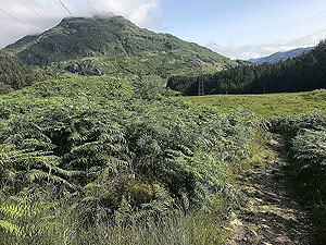
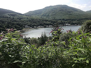
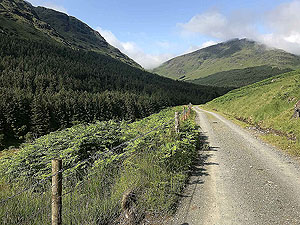
This is a great medium length run with some fantastic scenery along the way. It is an almost constant uphill for the first
8 Kms
or so
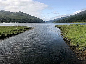
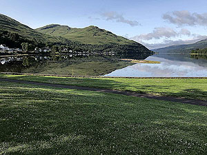
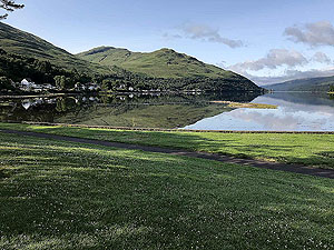
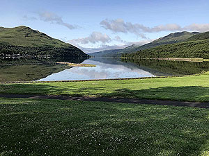
but none of the climbs are too steep. The start/end location is worth visit in it's own right as the views down the loch are brilliant.
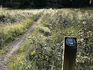
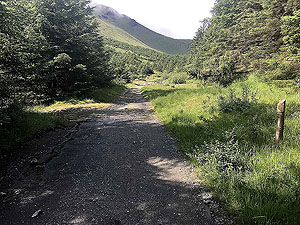
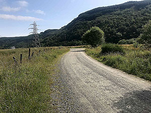
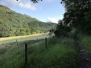
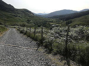
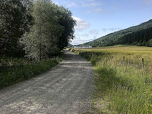
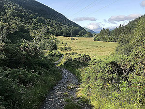
So from the car park you have a very short section on the pavement beside the main rod before turning right and up a dirt road. The route
is marked most of the way as the Glen Loin loop so you should have no issues following. A short length up the dirt road one of the markers
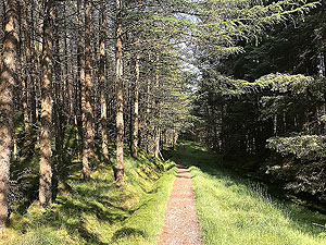
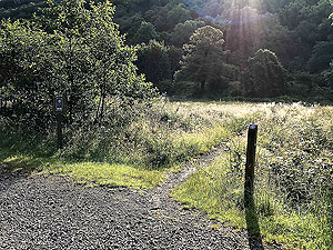
points you across a small field on the right. This takes you up onto a trail path in the trees.
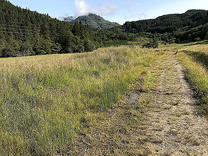
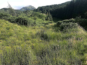
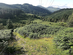
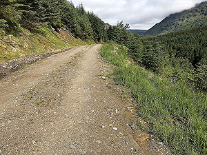
The route then opens up and just after the
2 Kms
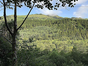
mark the climbing starts for real. The views back down Glen Loin are stunning as is the
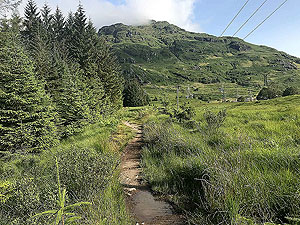
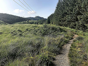
route ahead. Although the pylon work has meant the creation of a new road up the hill it's much better to stay on the small trail path, even if your feet get wet when it's raining.
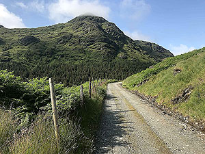
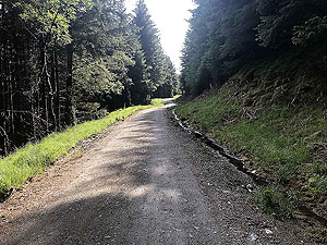
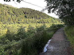
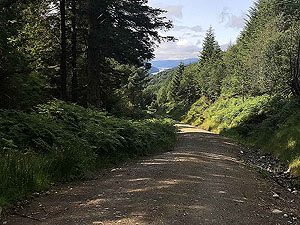
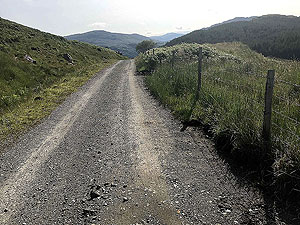
The path is mainly trail but reasonable quality and mainly out in the open. The end of the first section is just after the 5 Kms
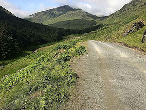
point and marked with the crossing of a small bridge. From here the trail becomes a well maintained forest road.
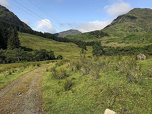
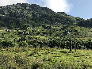
At
6 Kms
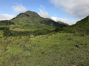
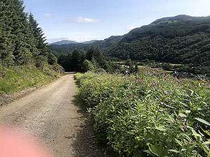
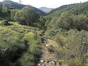
a left turn takes you towards Glean Leacann Sheileach and some great running even if the first two KMs are uphill. Looking
around you will see many Munroes with some such as Ben Vorlich, Ben Ime, Ben Narnain and Ben Vane up close. Also Loch Lomond and Loch Arklet in the distance. Although at the
6 Kms
mark you are close to the Loch Sloy dam you don't actually see it till much further round the route.
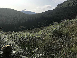
Passing the small dam at just after
8 Kms
marks the end of the real climbing and from here you head into the trees. You have about
4 Kms
of mainly trees which after the first part of the run seems rather disappointing. However on a hot day the shelter from the sun
is most welcome. Yes the sun does shine in Scotland.
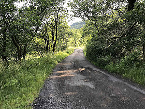
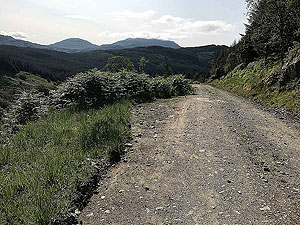
At about
12 Kms
the trees open up again and you have mixed running, sometimes in the trees and sometimes out. Gradual downhill so you
can really stretch those legs. At just after the 15 Kms
mark the route takes you left on a short zig zag to the base of Glen Loin. You
could turn right and follow the Cobbler path down instead.
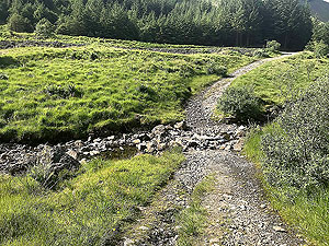
When you are in Succoth village you come to a tee with a small road. Turn left here and you will come to a small path the right at the end of the field. A small bridge takes you over Allt Sugach and up to the main road.
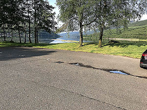
Once at the main road you will see the car park to the left. You get there by crossing the road and going over the footbridge. The
car park area is a great spot for stretching and a picnic. Various cafes and eaters are close by.
Put this route on your to do list.
Details last updated in March 2026. Updated route and text
Route images

Directions
×