
Firmounth trail run
The Firmounth trail run route is a trail run within North & Grampian. The loop covers a distance of 18.94 Kms ( 11.77 miles )
and has an elevation gain of 547 m ( 1796 feet )
.
Length
18.9 Kms
Elevation
547.4 m
Max elevation
442 m
Difficulty
***
Rating
****
Main road
0 Kms
Country road
1 Kms
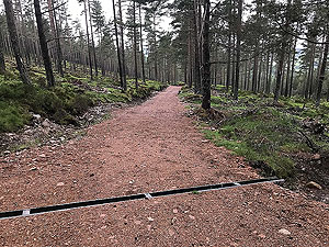
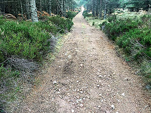
Dirt road
15.9 Kms
Dirt path
2 Kms
Trail
0 Kms
;)
Description
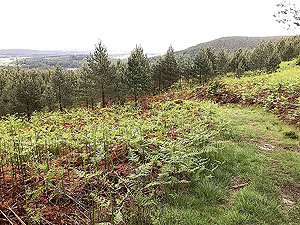
This is a route we have done many a time along with a few variations
that can add or remove distance....and climb with
442 m
of up. The ups and downs of this
along with long flat sections make it a good, if perhaps tough, training
route.
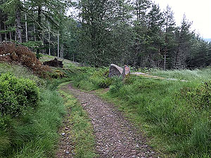
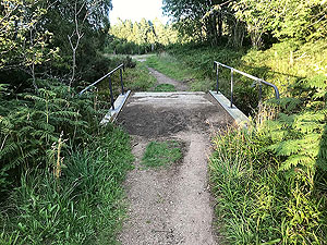
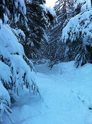
The route starts of off outside the Boat Inn in Aboyne where a short section
takes you across the bridge and onto the Fungle path to start with. A short climb takes you onto a short
1 Kms
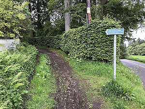
section of single track road then dirt road.
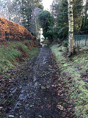
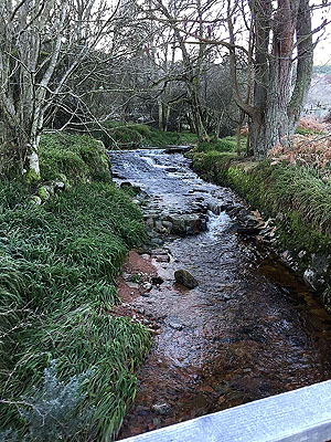
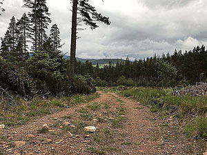
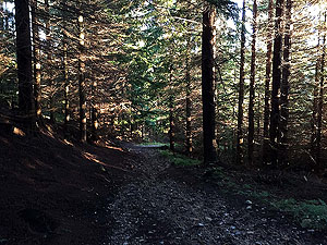
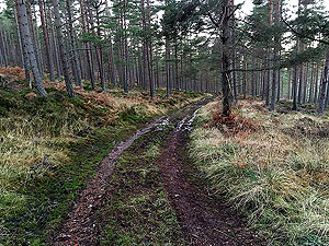
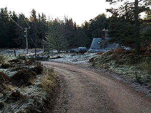
A small bridge takes you across the burn and from there you are on a mix
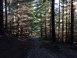
of mainly forest road with small sections of good trail. The path head up
alongside the burn before starting to climb uphill. A style marks the start of
the cross along the front of Craigendinnie where the climb goes on. Although
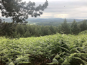
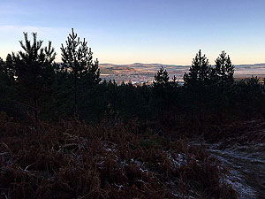
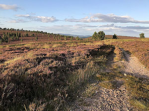
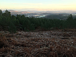
still in the trees there are frequent openings to see the view across Deeside.
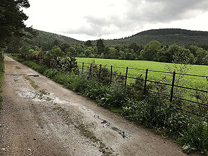
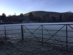
The path then descends through the trees but gives views into the Glentannar
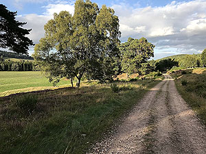
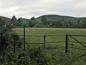
estate up ahead. The route flattens out then takes a left into Glentannar
where you have a few kms of almost flat running. Make the most of it as soon
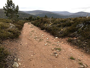
you are heading back uphill.
The uphill section is long but does offer some respite in sections where the
gradient is not steep.
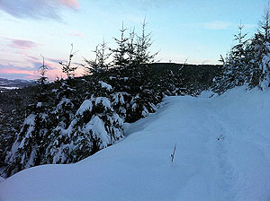
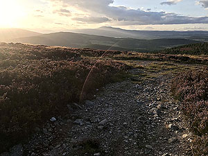
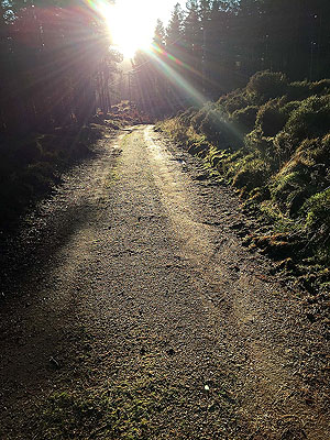
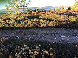
Eventually you are out in the open and near the top of the hill as the path
starts to bend back to the start. This can be windy, this can be frozen, this
can be misty, but this part can also be glorious running. The path takes you down
to a wee burn, for a wee drink, before heading back up the last climb.
Once at the top of the last climb a short
1 Kms
takes you back into the tress and the
long descent all the way back to the Boat Inn. If you have time,
this is a great place for fish and chips amongst other offerings.
Details last updated in June 2019.
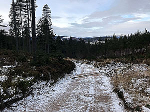
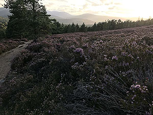
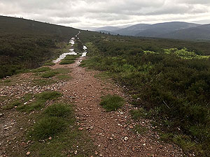
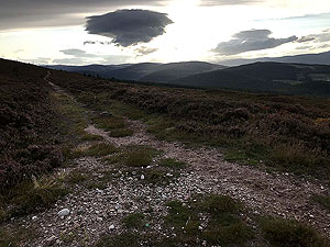
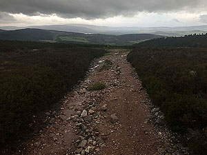
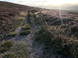
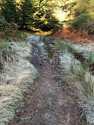
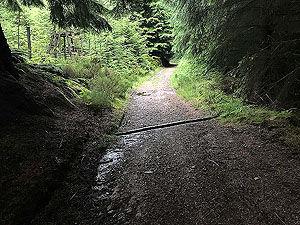
Route images
Directions
×