
Durris trail running loop
The Durris trail running loop route is a forest road run within North & Grampian. The loop covers a distance of 17.09 Kms ( 10.62 miles )
and has an elevation gain of 428 m ( 1404 feet )
.
Length
17.1 Kms
Elevation
427.8 m
Max elevation
378 m
Difficulty
**
Rating
***
Main road
0 Kms
Country road
0.7 Kms
Dirt road
16.4 Kms
Dirt path
0 Kms
Trail
0 Kms
;)
Description
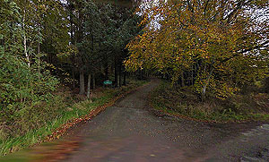
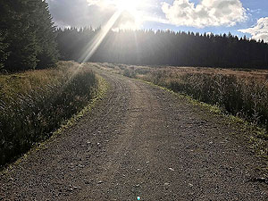
The Durris loop is a nice run for summer evenings and offers some splendid views across the Aberdeenshire countryside. Although there is a reasonable amount of climb there is nothing too steep so feels not too bad. The hardest part of this route is probably in the finding of the car park.
The route starts off heading uphill through the trees in what is called Stathie Wood. You actually go through or past several woods in the overall area of Durris forest.
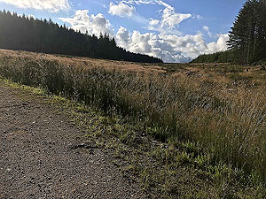
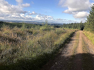
A long loop takes you arond the small hill of Strathgyle and this is nice and easy running, but there are lots of forest roads heading off in all sorts of directions so make sure you have your map. The loop is partly out in the open and partly within the trees.
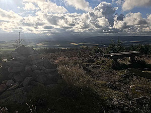
The steepest part of the route occurs just after the
7 Kms
mark which takes you to the top of Cairn-mon-earn where there are several masts and a fire observation point. It's about 1.5 Kms
from the path junction up to the top, but this part can be ignored if you want to save the additional 3 Kms
up and down. We do recommend the effort though as the views are worth it.
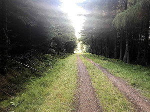
Heading back from the top and into the woods again. The woods do open up again although there is not too much to see and this is a nice easy descent. You soon arrive at the small country road at a place with the strange name of Craigs of the Slugs. Where do they thinkg these up from. The country road section is less than one Km and you are soon back into the trees running along the base of the small hill Mundernal. You are right on the edge of the forest on this section.
You soon arrive back at the road heading up from the car park. A left turn then downhill all the way to the car park. There is nothing on offer here in terms of cafes or shops, but the small town of Banchory is close by.
Details last updated in May 2020.
Route images
Directions
×