
Dumyat hill run
The Dumyat hill run route is a trail and road run within Central & West. The loop covers a distance of 7.45 Kms ( 4.63 miles )
and has an elevation gain of 395 m ( 1295 feet )
.
Length
7.5 Kms
Elevation
394.6 m
Max elevation
389.3 m
Difficulty
****
Rating
****
Main road
1.5 Kms
Country road
0 Kms
Dirt road
0 Kms
Dirt path
2 Kms
Trail
4 Kms
;)
Description
A run up Dumyat hill is a favourite with the good folks of Stirling, they even have a race from the university in May. The route up on this one does cover most of the race route, but we return on an easier route. This to avoid the slippy parts on the downhill. There are several ways to do this route, and this version is probably our second favourite. Hopefully the favourite will be included soon so worth checking back for the route.
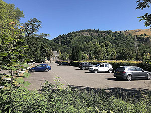
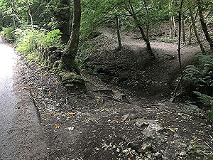
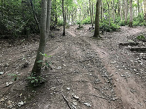
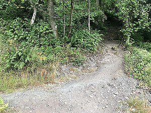
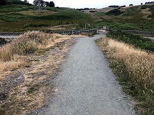
From the Logie Kirk car park you have a shot
0.5 Kms
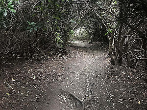
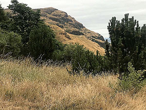
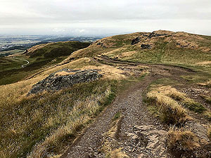
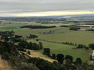
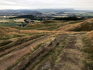
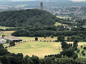
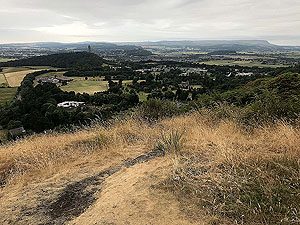
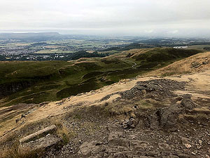
on the small tarmac road before heading off through a gap in the wall on the left. We have included pictures of this 'entrance' which is the last gap before the sharp left hand turn in the road. The path takes you over a small burn then follow the path up through the trees. Parts of this can get very slippy in wet weather. The path opens up for a short while, before going through a gate and heading up over the rocks to the right. At this point you are almost in a tunnel of bushes, but this opens out to bring you on top of the craggs with wonderful views to Stirling Castle and down the Forth. You can also see Dumyat ahead and it looks much bigger at this stage than it actually is.
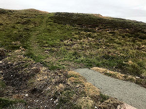
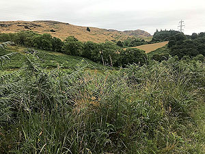
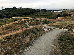
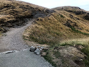
Once past the craggs a short distance takes you to a small style over the wall and from this point you are out in the open. Great on a calm and sunny day, but a nightmare on wet and windy one. Follow the path across the grass and fields. It joins the new walking path just after
4 Kms
in and from here you just follow the clear path to the top.
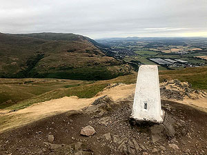
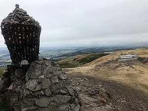
The top itself can get slippy for the last few metres so watch out, a mix of andesite and basalt we are told. The top has a trig point, a memorial to the Argyll and Sutherland Highlanders and a characteristic cairn with a beacon on top that is currently filled with stones. The beacon on the top of Dumyat was commissioned for the Queen's Silver Jubilee in 1977. Good luck to anyone who has to remove the stones to set the beacon again.
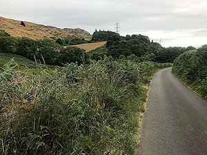
From the top this route takes you down the new walking path which apart from the walkers is not too difficult a run. This path comes out on the small road beside the entrance path to the reservoir. Ad from this point you follow the road for less than
0.5 Kms
before turning left at the tee junction. This small road leads you straight back to the car park.
Details last updated in August 2018.
Route images
Directions
×