
Devil o’Highlands Footrace
The Devil o’Highlands Footrace route is a trail and road run within Loch Lomond and the Trossachs. The point to point covers a distance of 69 Kms ( 42.87 miles )
and has an elevation gain of 1981 m ( 6499 feet )
.
Length
69 Kms
Elevation
1981 m
Max elevation
552 m
Difficulty
*****
Rating
*****
Main road
0 Kms
Country road
3.5 Kms
Dirt road
0 Kms
Dirt path
0 Kms
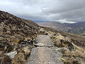
Trail
65.6 Kms
;)
Description
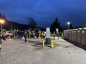
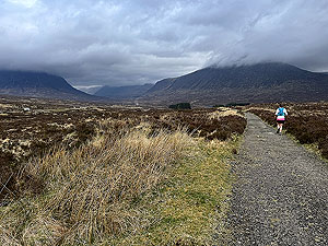
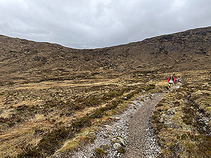
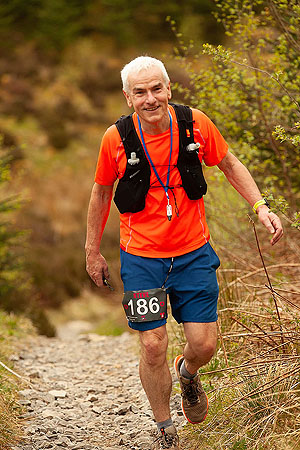
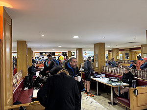
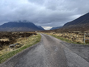
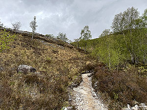
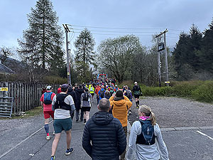
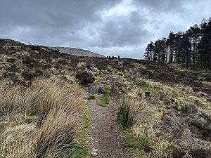
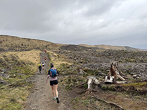
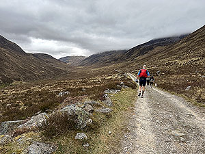
The Devil o' Highlands Footrace is a 95% trail race going from Tyndrum to Fort William following the West Highland way. Registration opens the night before and is also available very early on the day of the race. This process is simple enough though does require photo id. You get your number, some safety pins and a timer chip thingie that come on a lanyard for registering at each check point. There are 4 checkpoints plus the finish.
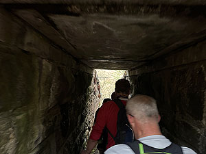
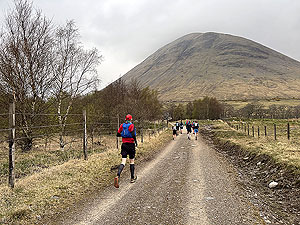
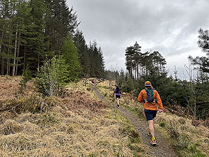
This race starts at 6am, with the race briefing taking place about 15 minutes before. You are straight onto trail, landrover track style and some narrower parts for the first
2.7 Kms
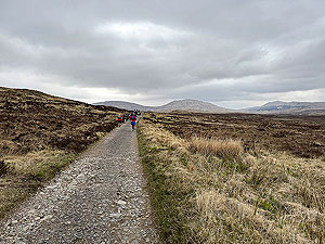
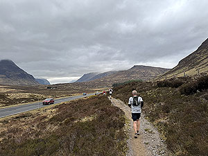
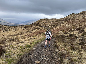
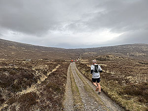
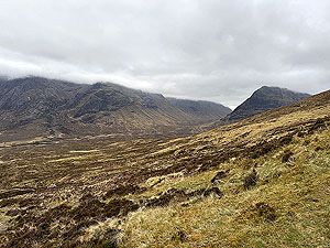
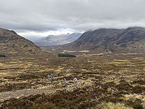
where you arrive at a single file tunnel under the railway. There can be queues here, but after that it's plan sailing and decent paths all the way to Bridge of Orchy at the 11 Kms
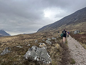
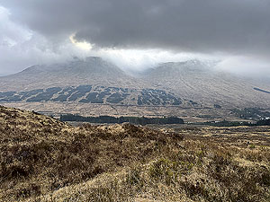
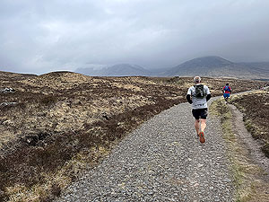
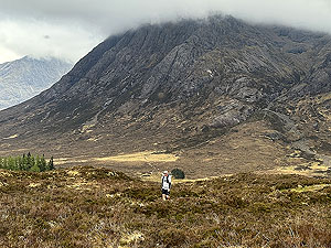
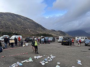
mark and the first checkpoint. This has water though most runners seemed to keep going.After this first checkpoint the crowds seem to thin out and you hit the first climb of the day, not the steepest or longest, just the first. You will look back on this section thinking it was the easiest part of the day with decent enough trail for most of it and taking you through Rannoch moor. There are a few climbs along the way but eventually you are in Glencoe and the second checkpoint which is the first bag drop. This is at
27 Kms
. This is the first checkpoint with a cut-off at 11:30.It is amazing how well organised the bag drop checkpoints are. Brilliant marshals here and everywhere on the race. Someone calls your number and before you are even at the table they have your bag to hand. Water and coke available, but no cups at the checkpoints so bring your own.
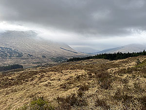
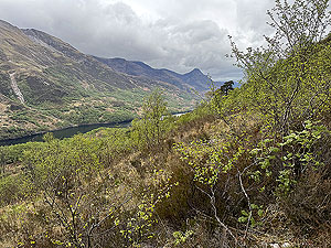
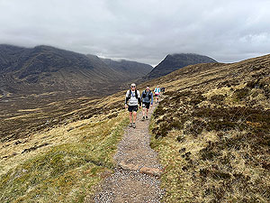
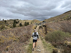
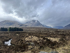
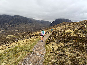
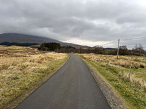
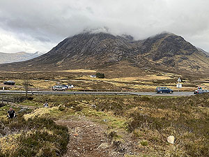
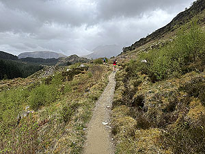
Glencoe is as beautiful as can be so enjoy this next section as much as you can. There is a short section of tarred road and the main road crossing before you finally hit trail again. This is bit more technical and runs alongside the main road before at
34.8 Kms
you arrive at the foot of the Devil's staircase and the first big, steep climb. Great views as you climb 244 m
over 1.9 Kms
though most runners are walking at this stage. Once at the top there is a long downhill all the way to the third checkpoint and bag drop 2 at
45 Kms
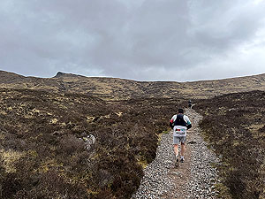
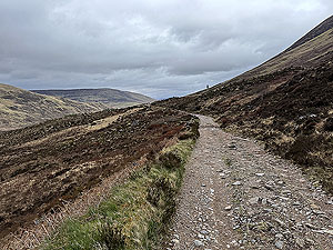
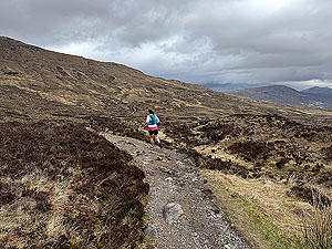
in the village of Kinlochleven . Water and coke are available here and again the brilliant marshals make this so easy and there are public toilets available. One thing to note is that runners who can't eat what they have in their bag drops leave it on a designated table for runners coming behind. Might be useful if you are running low. After Kinlochleven there is a very short section on the main road running along the pavement. Perhaps this short section is the worst marked part of the West Highland Way as you quickly start to doubt you are heading in the right direction. A sign post does appear highlighting the trail on the left and takes you back onto an uphill trail for the last big climb of the day. Most of this is a walk as the gradient and path itself makes for tough running. At about
47 Kms
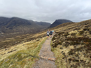
you are on the start of a long undulating section which can be very tough on tired legs due to the loose stones on the path. It seems to stretch out for miles in front of you, and that's what is actually is. Some of the downhill section on this are steep with large steps making running very technical. At
56 Kms
you hit the last checkpoint at Lundavra, but there is still some tough ground to cover. Again coke and water available and more importantly some very encouraging marshals. An undocumented water station was at 61.5 Kms
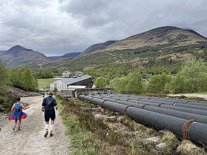
which included watermelons and the start of a forest road to take you all the way to Cow hill. Although this road is mainly downhill it is hard on legs that have taken you so far and not unusual to see people take a walk a bit, run a bit approach to this. This arrives just before 66 Kms
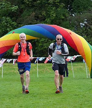
and Cow hill does an impression of Everest when your legs have covered such a long distance. Not long however until the downhill starts and you get to the finish.The finish is amazing. Just before the finish line there is a final checkpoint, then round the corner with about
100 m
over grass to the finish with lots of cheers. Another couple of check ins to do including handing over the timing thingie.What a race, what an event, what wonderful marshals and what wonderful fellow runners along the way. Get this on your to do list.
Getting in
Although this is a very popular race there does seem to be availability to enter long after the event opens (Keep checking on our Find A Race page).
Getting there
We used the train and stayed the night in one of the Tyndrum hotels, but there are buses and of course you can drive.
Start
Near the Green Welly shop where the race briefing happens. The bag drops are well organised allowing you to drop food off for two checkpoints and a small bag for the finish. The Green Welly is also open for food and coffee.
End
The finish is in a park just outside Fort William town centre and very close to the railway station.
Finish
Lots of food available but it is busy. Nice wooden medal and a bag with t-shirt, biscuit and some other things. Includes a voucher for a free shower nearby.
Staying
We stayed both in Tyndrum before the event and Fort William after. There are lots of choices to suit all budgets, but beware as there are lots of tourists so both towns can get busy and therefore expensive if you leave it too late.
Details last updated in April 2026.
Cost
The cost for the 2025 event was £100
When
April from 2025
Entry Opens
Summer of prior year
Web site
Race size
600 In 2025 there were 430 runners
Last ran by us
2025
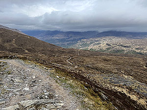
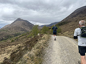
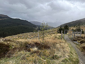
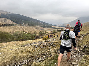
Route images
Directions
×