
Dearg up and doon hill race
The Dearg up and doon hill race route is a trail and dirt road run within Perthshire, Kinross & Angus. The loop covers a distance of 31.55 Kms ( 19.6 miles )
and has an elevation gain of 1065 m ( 3494 feet )
.
Length
31.6 Kms
Elevation
1065 m
Max elevation
1008 m
Difficulty
*****
Rating
****
Main road
0 Kms
Country road
0 Kms
Dirt road
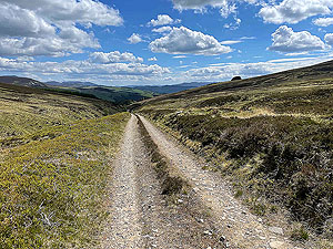
21 Kms
Dirt path
0 Kms
Trail
10.6 Kms
;)
Description
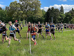
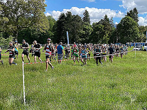
In 2021 the first Dearg Up and Doon took place as part of the trail running weekend organised by Outsider events. And the sun shone.
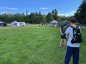
Finding the start line in the car was easy enough and parking was easy. From there to the queue to pick up the number and onwards to the toilets. First race in
a long time with plenty of toilets.
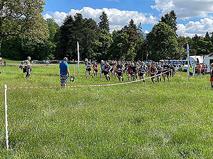
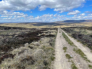
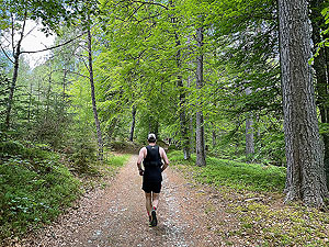
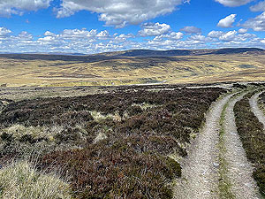
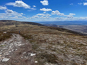
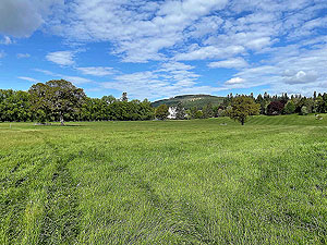
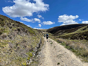
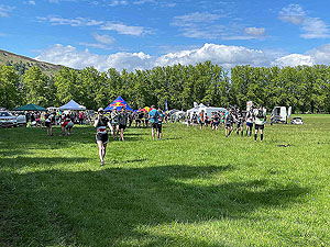
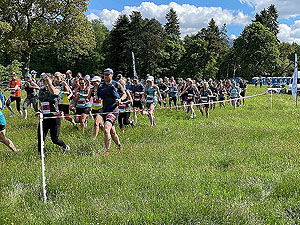
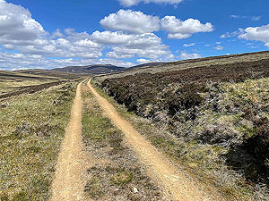
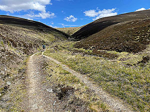
The start is in long grass in a field which makes for difficult running for a very short time till you reach the road. That is the least of the worries for the day. The route
heads out through the grounds of the castle and generally you are shaded by the trees. Once you leave the tree line that is you out in the open for the rest of the day until
you near the finish line.
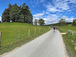
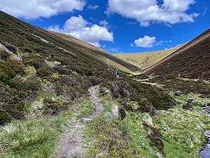
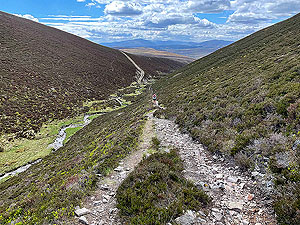
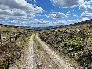
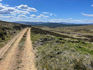
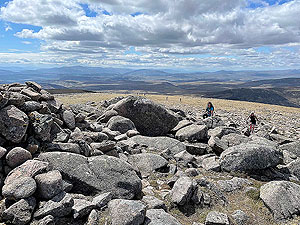
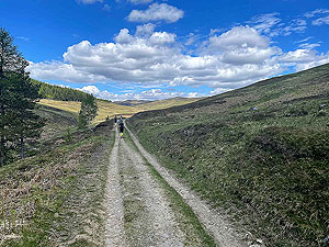
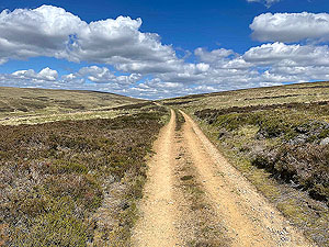
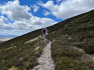
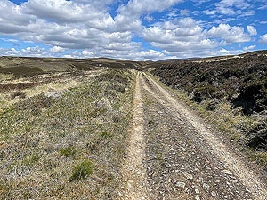
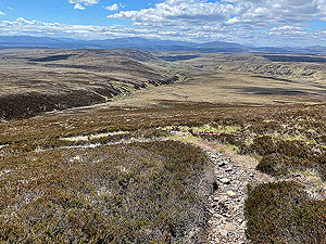
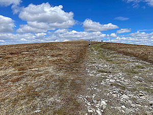
The route is a gradual climb to about
11 Kms
and from there to 17 Kms
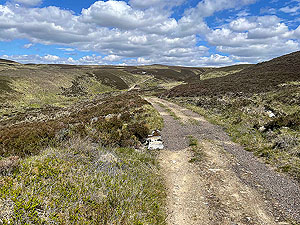
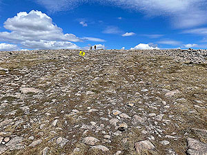
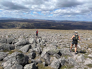
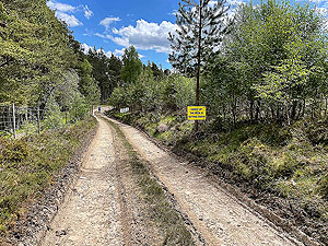
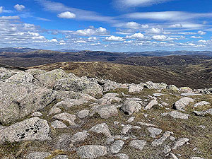
and the top of the hill it is steep. The trail on this part is mainly loose stones so
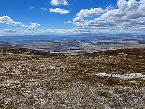
watch out as it can get difficult. The views are great for most of this race.The second of the feeding stations was around the
25 Kms
mark which was some way after that advertised for the event. On a hot day this was not a great thing.Once past the rifle range where people are shooting who knows what you are almost at the end. However, lets get you back into the woods and through all that long grass again
before coming to the finish line and a brilliant crowd. We measured nearly
32 Kms
on this event so keep that in mind. Getting in
No issue with access to the race in 2021.
Getting there
Getting to Blair Castle is easy as it is situated just off the main A9 road from Perth to Inverness.
Pre Run
No pre runs, but other events such as a 5k are available.
Start
Blair Castle.
End
Blair Castle
Finish
No medal just a cheer coming over the line. Massage, beer and burgers are all available.
Staying
This event comes with a camp site included in the cost. However, there are lots of places to stay nearby.
Details last updated in June 2021.
Cost
The entry cost for unaffiliated runners in 2021 was £41.50 for the Dearg Up and Doon.
When
2021 was the first event and held in the first week in June
Entry Opens
Early in the year
Web site
Race size
200
About 180 in the 2021 event.
Last ran by us
2021
Route images


Directions
×