
Craigendoran to Balloch
The Craigendoran to Balloch route is a trail and dirt road run within Loch Lomond and the Trossachs. The point to point covers a distance of 10.29 Kms ( 6.39 miles )
and has an elevation gain of 333 m ( 1092 feet )
.
Length
10.3 Kms
Elevation
332.9 m
Max elevation
268.4 m
Difficulty
**
Rating
****
Main road
0.5 Kms
Country road
1 Kms
Dirt road
2.1 Kms
Dirt path
0 Kms
Trail
6.7 Kms
;)
Description
So we continue with our station to station run series where we use the railway network for the start and end points of the run. This time we
started at Craigendoran station and went over the hill to Balloch station. Both well served stations in terms of the train frequency from
the Glasgow and Edinburgh areas.
This route takes in the same hill as the Cardross to Helensburgh route but goes a different path apart
from a short section. The views on this route are nicer.
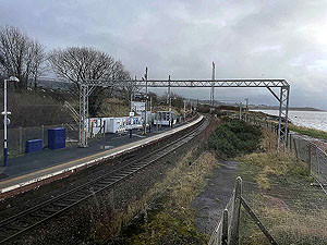
The route starts in Craigendoran which is the east most part of the town of Helensburgh and goes up over the hill to Balloch on the shores
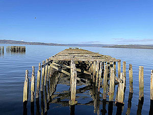
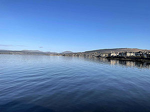
of Loch Lomond. Craigendoran station has a wonderful history of being one of the main steamer ports and is well worth reviewing online. However,
times have been hard and the twin piers now lie rotting and the station itself is just a shadow of it's former glory. If you arrive early morning or
in an evening it's well worth taking the time to have a walk down to the old piers and catch the lovely up and down the Clyde.
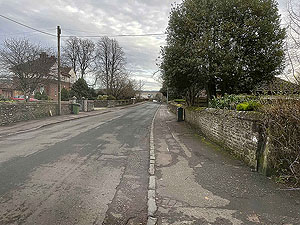
The route itself starts off through the pedestrian tunnel at the station and follows the small road up to the main Cardross road, a distance of about
0.4 Kms
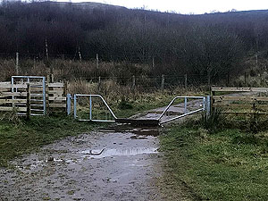
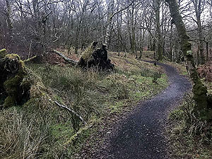
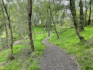
. Once you cross the road via the crossing you are away from main roads until reaching Balloch. This starts with a small path then small country road and dirt road before landing you on trail at about 1.9 Kms
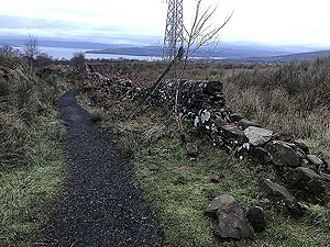
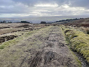
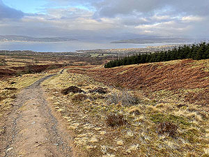
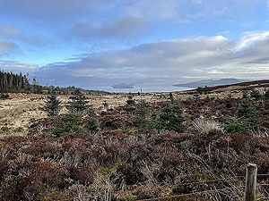
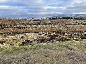
. From this point the only way is up and you are on the main climb of the route
which lasts about 2 Kms
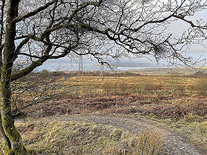
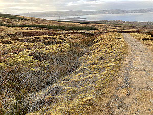
. Worth noting that on this climb you really need to look back as the views down the Firth Of Clyde get better and
better.
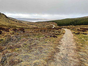
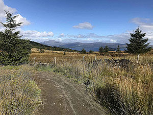
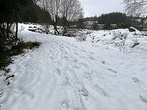
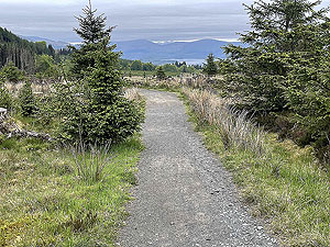
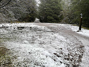
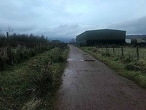
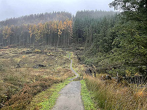
The route takes you through the wood at the top of Ben Bouie and then back onto more of a dirt road and the John Muir way leading down the hill
towards Balloch. Here the views change from the Clyde to Loch Lomond. Although we describe this as a dirt road the condition of it is rough and it is
more of a technical run. One of those areas where running up is easier than running down.
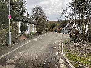
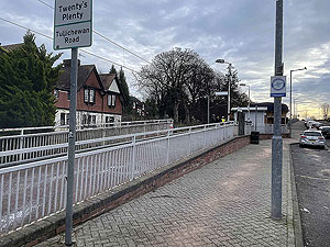
The road takes you over the main A82 by way of a pedestrian bridge and from there small roads until you arrive in Balloch proper. The station is on the right hand side just before you reach the bridge over the river. That said, Balloch is a lovely tourist village so lots of places to eat or just relax ( Try the country park for example ) if you are not in a hurry to catch the train. This is a good route and if the weather is with you one which the views alone
make worth while.
Details last updated in November 2021.
Route images
Directions
×