
Coire an Loch loop
The Coire an Loch loop route is a forest road run within North & Grampian. The loop covers a distance of 14.39 Kms ( 8.94 miles )
and has an elevation gain of 452 m ( 1483 feet )
.
Length
14.4 Kms
Elevation
452 m
Max elevation
316.8 m
Difficulty
**
Rating
***
Main road
0 Kms
Country road
0 Kms
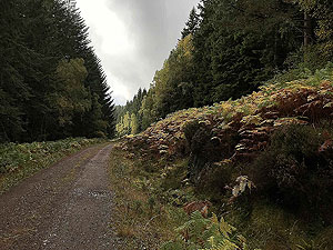
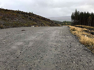
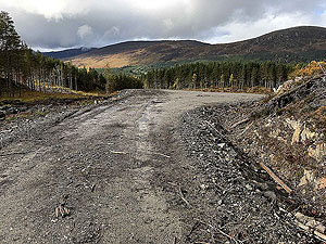
Dirt road
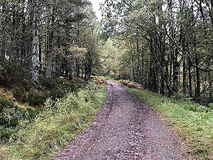
14.4 Kms
Dirt path
0 Kms
Trail
0 Kms
;)
Description
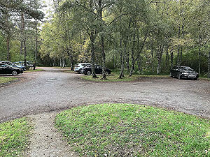
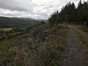
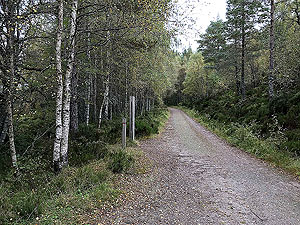
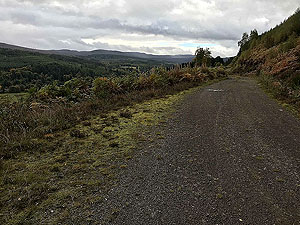
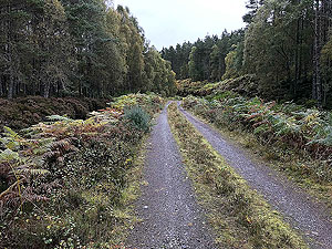
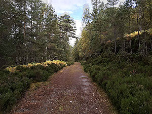
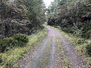
An easy forest road route in a loop format that offers some lovely views along the way. The runs starts from the Dog Falls car park and straight away you are on the first climb of the route. The sound of the falls can be heard very clearly for about
1.75 Kms
when all of a sudden it all goes quiet.
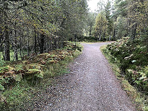
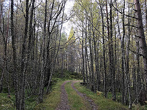
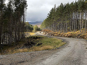
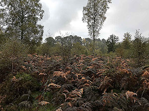
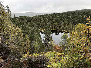
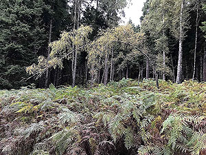
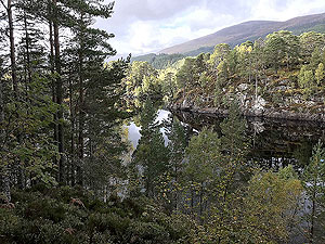
The first
4 Kms
of this run is in amongst the trees, but at 3 Kms
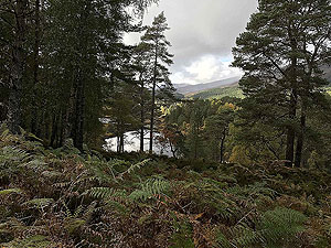
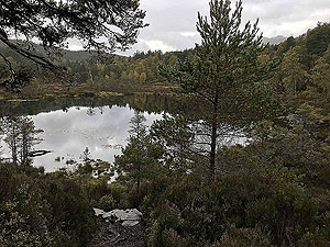
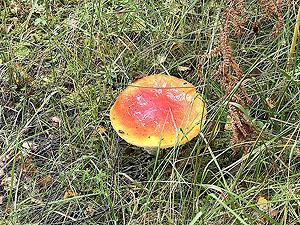
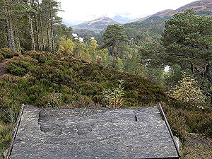
there is a small add on available of about 1.7 Kms
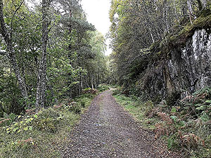
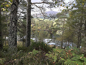
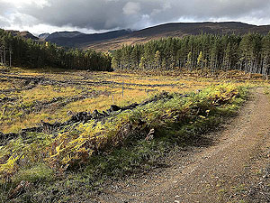
to Loch Coire. We don't include that in this route, but have included some pictures as it is a very pretty small loch.
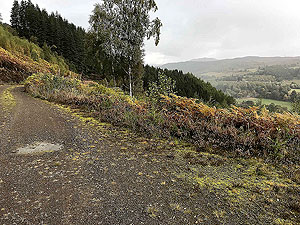
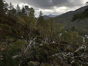
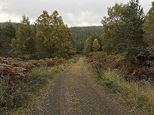
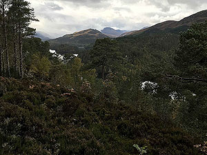
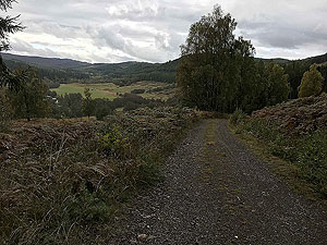
So at
4 Kms
the views open up with the village of Tomlich in sight and views to Beinn Bheag and Corrimony nature reserve. At the time of writing we are aware there are plans to locate over 40 huge wind turbines on these hills. This does seem very strange to us as why would you place these in such an area of natural beauty. We live close to a wind farm and have no problem with it at all, but here it just seems wrong. There is a web site available for more information on Glen Affric Friends where the local people are trying to get thier point of view across.
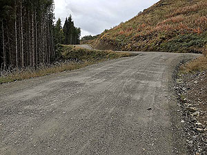
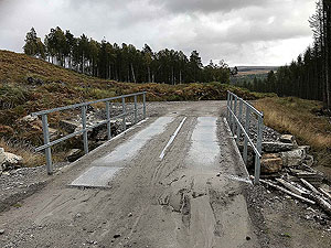
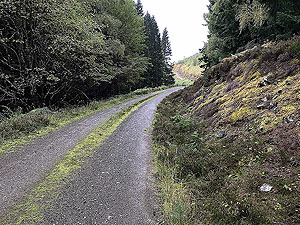
At
6.3 Kms
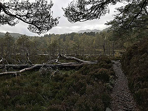
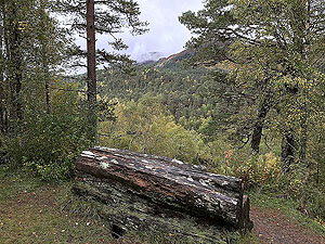
the route becomes a newer forest road which removes the need to cross the fords as shown on the OS map. This is the start of the main climb that is never too steep and is taking you back towards Loch Beinn a Mheadhoin in Glen Affric. Once the newer part of the forest road ends the views improve and it can feel nice and isolated.
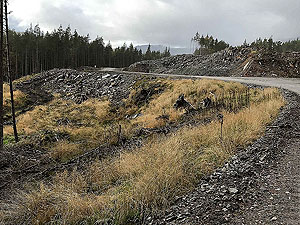
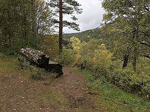
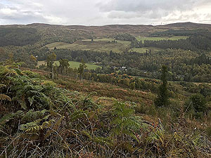
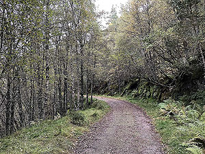
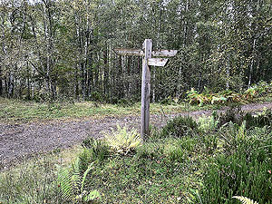
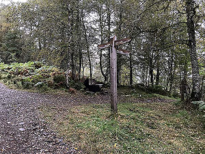
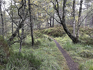
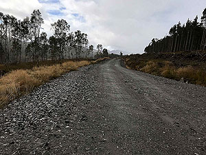
At just over
10 Kms
you join onto the Affric-Kintail trail and from here it is a nice run back to the car park. There are opertunities for wonderful views along this part including a viewing point. Keep looking and don't be affraid to stop and take it all in.
Details last updated in October 2020.
Route images
Directions
×