
Cocksburn reservoir loop
The Cocksburn reservoir loop route is a trail and road run within Central & West. The loop covers a distance of 6.69 Kms ( 4.16 miles )
and has an elevation gain of 237 m ( 776 feet )
.
Length
6.7 Kms
Elevation
236.5 m
Max elevation
199.2 m
Difficulty
**
Rating
***
Main road
0 Kms
Country road
4 Kms
Dirt road
0 Kms
Dirt path
0 Kms
Trail
2.7 Kms
;)
Description
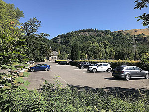
A short run from Logie Kirk but with a good bit of climb in it.
Although most of this route is on single track tarmac road the traffic is very light especially out with the weekends. The route can also be done from the Penrith car park further up and of course you can choose what direction you go round the reservoir.
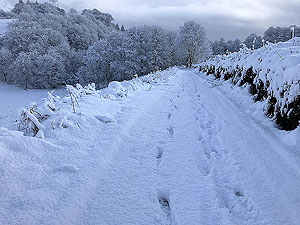
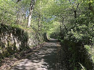
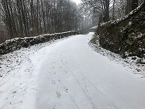
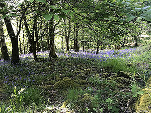
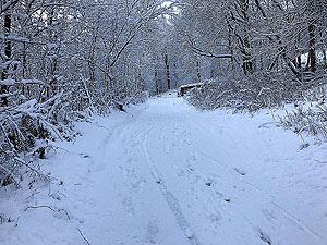
The first part of the route contains most of the climb and most of that in the trees so well shaded. You pass the ruins of the old Kirk and the original cemetery which is worth a visit if open. If running this route in the winter beware that this road can become very icy and is very rarely gritted. After about
1.5 Kms
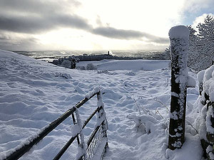
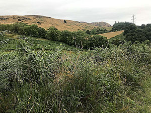
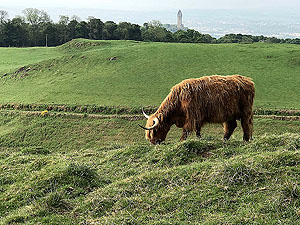
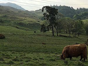
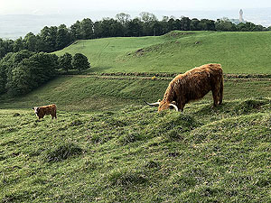
the route is out in the open and you get views towards the Wallace monuments and Dumyat hill.
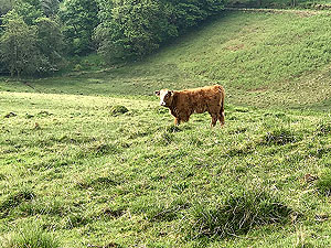
The second part of the route is the trail around the reservoir. This is nice, but perhaps not brilliant though perhaps we are being a bit hard on the loop. You are out in the open here and it can be soul destroying in the wrong weather, however in the right weather the opposite is true. Surprise.
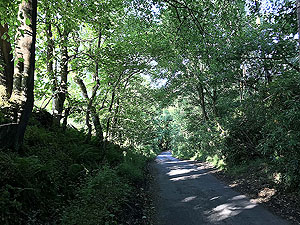
Once out of the reservoir loop you are back on tarmac which gets a little bit too steep for easy running in parts. You don't go back the way you came but this road too can get very slippy in icy weather. The road condition is a little rough so watch for tripping.
The final part is the dirt track at the back of the university wall. The road takes a sharp right with the entrance to the track on the left. You can't miss it, you either have to go left or right as forward will run you into the uni wall. The path takes you out back at old Logie Kirk and from there a few metres back to the car park.
Details last updated in August 2018.
Route images


Directions
×