
Run to Carn Labhruinn
The Run to Carn Labhruinn route is a trail, dirt road and country road run within Loch Lomond and the Trossachs. The out and back and small loop covers a distance of 22.08 Kms ( 13.72 miles )
and has an elevation gain of 570 m ( 1870 feet )
.
Length
22.1 Kms
Elevation
570.1 m
Max elevation
350.7 m
Difficulty
**
Rating
****
Main road
0 Kms
Country road
3.5 Kms
Dirt road
16.2 Kms
Dirt path
0 Kms
Trail
2.4 Kms
;)
Description
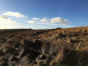
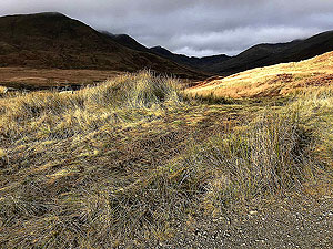
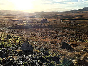
One of the marvellous things about this route is that just a small distance from the village of Callander you feel like you are really out in the wilderness of Scotland. This route builds on the Bracklinn falls loop, but we actually started running this before the loop came into being. That said the loop past the falls gives you something different to enjoy on the early stages of the run.
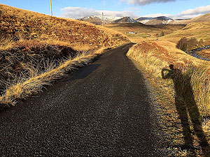
So from the car park you head across the small road and join the path to the falls. This is newer well made path and straight away you are on the climb. Our running usually takes place early morning and before the crowds and we only saw a couple of dog walkers along the way. After about
1.5 Kms
you are at the Bracklinn falls where a small bridge crosses the river. The path heads away to the left up the side of the stream and turns into more of a trail route.
When you get to
2.4 Kms
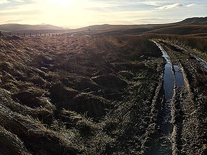
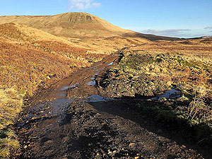
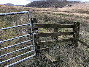
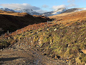
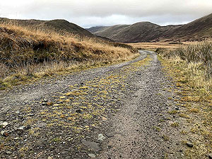
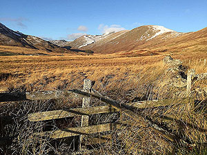
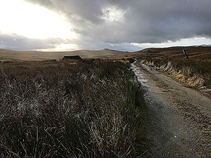
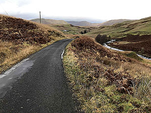
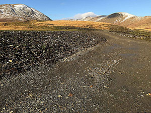
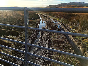
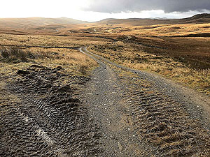
you come out of the trees and the countryside opens up before you. A short downhill section takes you back over the stream and a right hand turn onto the tarred road starts the out and back section. There are several gates to go through, including a few at the small farm where you leave the tar and start running on the standard hard core road. This is where things start to become very isolated and it feels just wonderful.
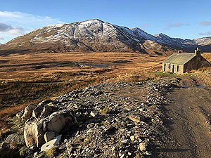
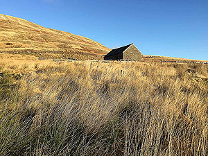
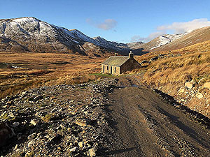
After crossing the small bridge the route takes you up past the small cottage and on towards the Forest of Glenartney. On this particular route you don't get to Glen Artney but this is where the road takes you and from there onwards to Comrie. We do have that section sitting in our to do list of routes.
On this route we turn back the way we came on arriving at the foot of the small hill Carn Labruinn. The route back is the same as the way out apart from staying on the small country road and avoiding the return trip to the falls.
Not sure why, but this route feels like a lot longer run than it actually is.
Details last updated in November 2020.
Route images


Directions
×