
Ayrshire coastal path
The Ayrshire coastal path route is a trail and country road run within Glasgow, Clyde & Ayrshire. The out and back covers a distance of 10.38 Kms ( 6.45 miles )
and has an elevation gain of 76 m ( 249 feet )
.
Length
10.4 Kms
Elevation
75.8 m
Max elevation
12.2 m
Difficulty
*
Rating
**
Main road
0 Kms
Country road
3 Kms
Dirt road
0 Kms
Dirt path
0 Kms
Trail
7.4 Kms
;)
Description
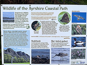
So this run was done while staying at the Seamill Hydro and without much planning. We did a little research but didn't see much of interest. A walk the night before put us off running south from the hotel as that was a tarred footpath and looked rather dull.
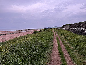
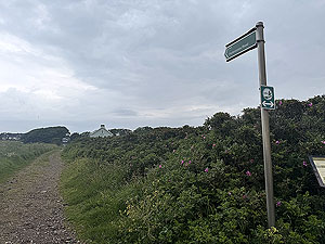
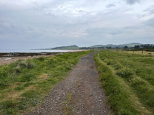
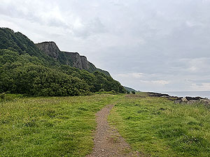
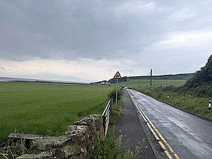
At the back of the hotel there is a small opening in the wall with stairs down to the beach. A short run north takes you to a point just after the houses where you can join the coast trail. The trail is narrow in parts and runs along between the golf course and the beach. On meeting a local runner we were advised to take a right up a small country road at
2.4 Kms
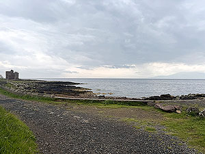
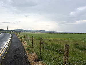
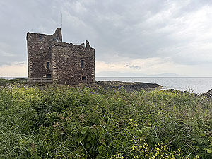
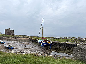
as what path there is on the beach is not really suitable for running. This road took us up onto a small road and from there towards Portencross castle.
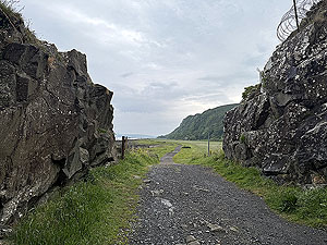
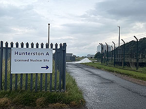
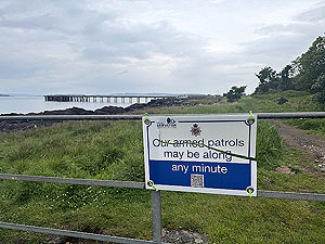
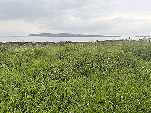
At the castle the trail route comes up again with a slight left. Follow this path for a lovely wee run until you hit the huge power station. We turned back at this point and followed the same path back with the exception that we did go past the castle on the way back.
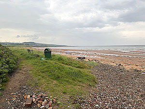
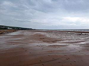
This is nice wee run but very at the whims of the weather. We did manage a nice final section along the beach but of course you need the tide to be out.
Details last updated in July 2025.
Route images

Directions
×