
Run Ardgoil peninsula
The Run Ardgoil peninsula route is a hill trail run within Loch Lomond and the Trossachs. The loop covers a distance of 23.1 Kms ( 14.35 miles )
and has an elevation gain of 1022 m ( 3353 feet )
.
Length
23.1 Kms
Elevation
1022.1 m
Max elevation
512 m
Difficulty
****
Rating
****
Main road
0 Kms
Country road
0 Kms
Dirt road
15.6 Kms
Dirt path
0 Kms
Trail
7.5 Kms
;)
Description
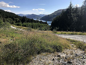
Well if the second half of this run is nice then the first half can only be described as WOW.
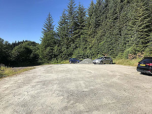
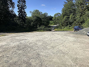
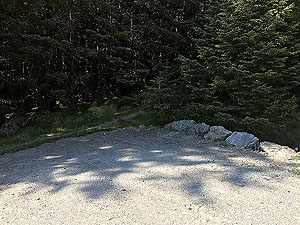
The worst part of this run is the drive of the last few kilometres to the car park, but once you are running you are in for a treat. It's tough but very rewarding.
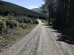
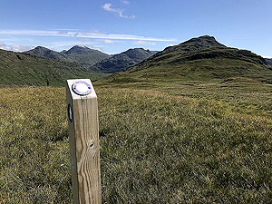
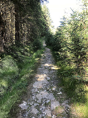
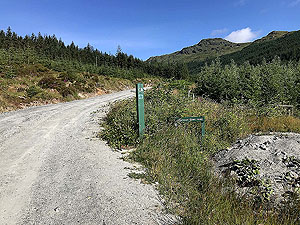
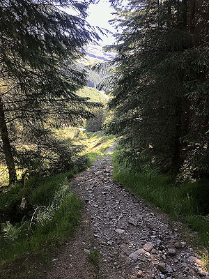
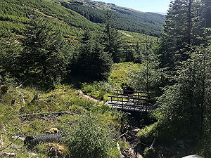
From the car park the route heads up hill on the Dukes Pass and the Cowal way on standard forest landrover roads for about
2.4 Kms
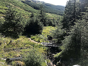
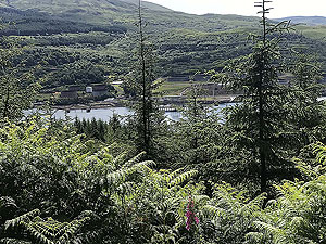
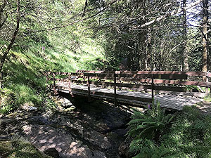
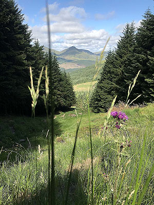
. You are mainly in the trees and are climbing steady and although not too steep it feels like a hard start to the run. Views back down the hill towards Loch Long can be stunning and you soon get to see a lot of the Arrochar alps around you. The road comes to a sudden end from where you cross the small bridge and start on a trail through the trees.
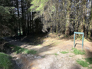
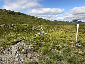
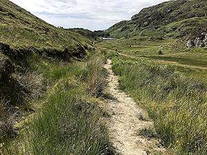
The trail through the trees is only about
400 m
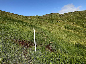
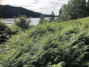
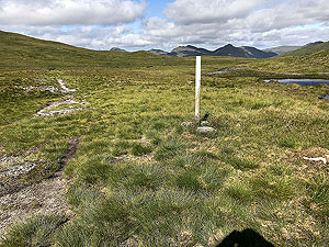
and ends with a gate and clear markings for the Cowal Way. This road heads across the open grasslands and can be very boggy in parts. Our last run here was in the middle of a hot dry spell and we still sunk our feet several times. This part goes on for about 1.5 Kms
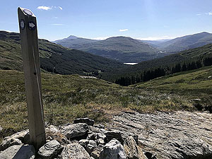
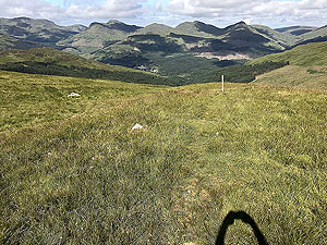
and takes you over the highest point before you get your first view of the route to Lochgoilhead. Still following the Cowal way makers the grass path can be very slippy on the way down.
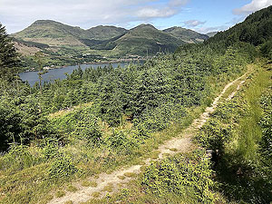
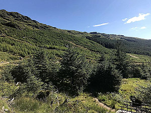
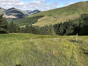
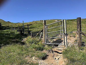
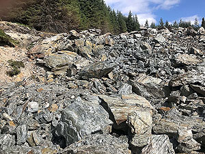
A gate marks the end of the open section and you are back into the trees on an initially steep and tricky descent. This lasts for about
2.5 Kms
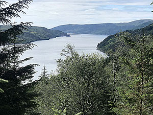
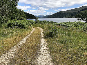
before arriving at the loch which by this time the path has become a dirt road again.
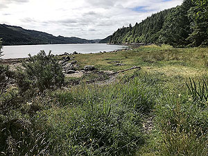
The route now heads down the side of the loch and turns back to trail as you start to gain height. The open views are blocked by entering trees again but the path opens up fully before arriving at Corran Lochan and the turning point. This section being about
5 Kms
. There is potential to take the path to the right to the peninsula, but so far we have not explored that.
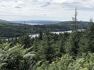
After the lochan a left turn takes you into the forest with only the occasional view of Loch Long for about another
5 Kms
. This does feel rather dull after the beauty of some of the earlier parts.
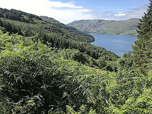
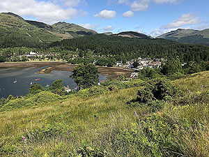
With need of getting out of the trees, the route takes the path down to the loch side rather than continue on the straightest path back to the car park. This gives you a few kilometres of views up and down Loch Long and a small climb back to the car park.
We hope you enjoy this route and the weather holds for you.
Details last updated in July 2018.
Route images
Directions
×