
An Sidhean hill run
The An Sidhean hill run route is a trail run within Loch Lomond and the Trossachs. The out and back covers a distance of 5.79 Kms ( 3.6 miles )
and has an elevation gain of 448 m ( 1469 feet )
.
Length
5.8 Kms
Elevation
447.9 m
Max elevation
544.7 m
Difficulty
*****
Rating
***
Main road
0 Kms
Country road
0.9 Kms
Dirt road
0.7 Kms
Dirt path
1 Kms
Trail
3.2 Kms
;)
Description
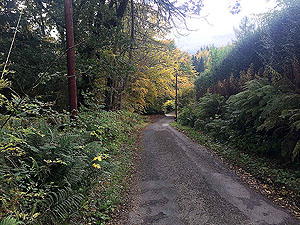
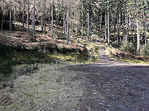
This is a short and tough run due to the steepness of the hill, but if you are used to a bit of hill in your runs then this is worth the effort. It starts from the main Strathyre car park and a short easy section of less than
1 Kms
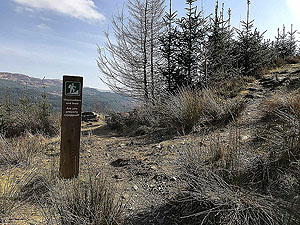
takes you to the start of the climb. The route at this stage is well signposted.
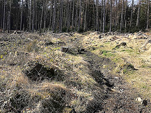
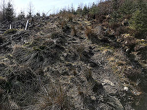
Once off the small road you are climbing all the way to the top with only short sections of flat. This initial path is a little wet and in amongst the trees. The area around Strathyre is great for spotting red squirrels so keep a sharp look out.
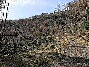
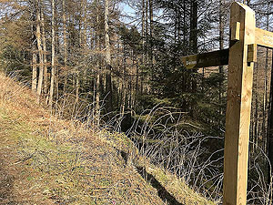
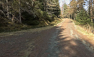
The path through the trees ends on meeting the forest road. On turning right here you have a short section that is flatish before you meet the path on the left heading up hill. That path is steep and relentless all the way to the top.
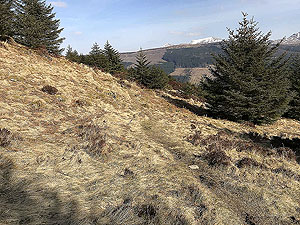
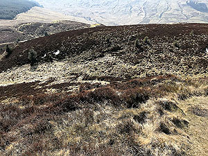
This steep section is a well made path apart from when you are getting close to the top of the hill. That part is wet and the trail can be hard to spot. It heads round to the left of the hill before making a swing back to the top. You can of course go straight up the hill across the open heather but that's not an wasy route to try.
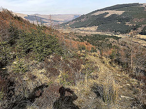
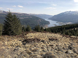
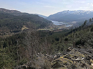
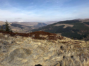
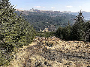
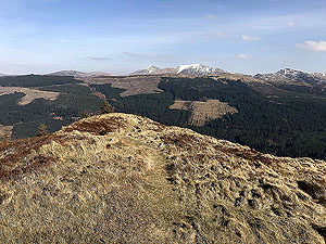
There are lovely views for such a short route and especially those down towards Loch Lubnaig. For the way back you are following your upward path, but on our route we choose the forest road for the return. This made it a bit easier on the legs after a lot of heavy going downhill.
Hope you enjoy this one, but although it is short, it ain't easy.
Details last updated in March 2020.
Route images
Directions
×