
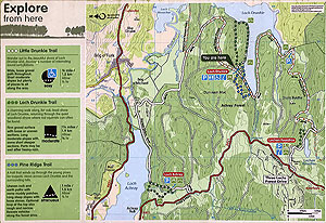
Trail route Aberfoyle to Loch Venachar
The Trail route Aberfoyle to Loch Venachar route is a trail run within Loch Lomond and the Trossachs. The loop covers a distance of 24.82 Kms ( 15.42 miles )
and has an elevation gain of 538 m ( 1765 feet )
.
Length
24.8 Kms
Elevation
538 m
Max elevation
271 m
Difficulty
**
Rating
***
Main road
0.6 Kms
Country road
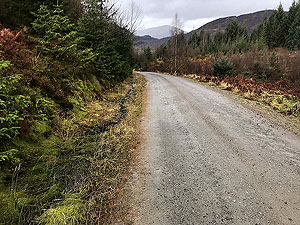
1 Kms
Dirt road
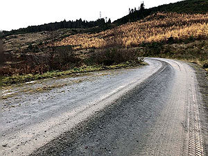
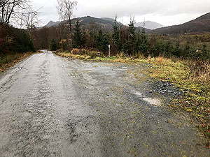
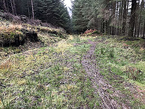
23.2 Kms
Dirt path
0 Kms
Trail
0 Kms
;)
Description
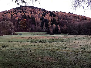
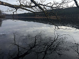
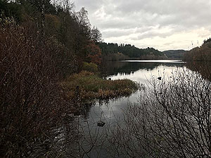
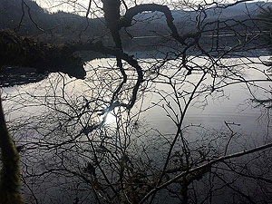
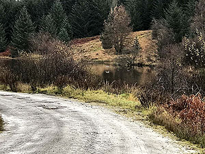
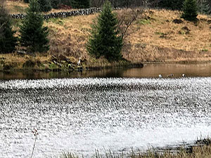
We have only run this route once but it is worth a revisit. There is a fair amount of climb on the route but none of it is really steep so feels easier than it probably is. The route give you views of Loch Achray, Loch Venachar and a run round a large part of Loch Drunkie. Who names these lochs is a question we often ask.
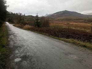
The route starts in the main car park but heads in the opposite direction to most of the runs starting here. You go past the woollen shop and pick up the small foot path through the trees. This brings you out at the main road, where you cross and stay on the pavement heading out of town for a short distance.
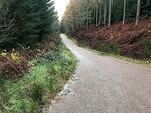
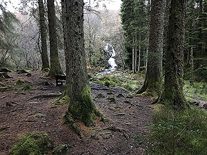
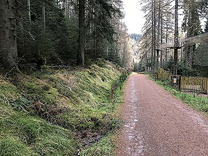
A left turn before the medical centre takes you up past the outdoor centre and onto a dirt road and left turn onto the route proper. This is all within a forest with lots of trail paths heading off in all directions. For this route we have stayed on the main paths. The route takes you up past Go Ape which can be an unusual entertainment on your run. Still in the trees the route will take you past a waterfall and if it's raining this is such a nice place to be in. Some routes just suit it raining.
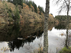
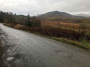
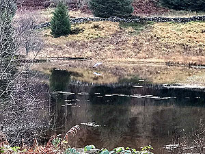
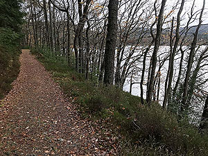
As you gain height you go part the tree line and out into the open. You are running parallel to the main Dukes Pass road. The path then takes you downhill and you are soon rewarded with the fist sight of Loch Drunkie. You follow the loch round until the visitor centre and back into the tree. A smaller not so well used path on the left takes you further into the trees before a sharp descent on your right brings you onto the three lochs drive. Here you have Loch Achray to the left and Loch Venachar to the right. You'll see Loch Venachar clearly when you start the climb up the hill back towards Loch Drunkie.
Again going round Loch Drunkie at different place the path is almost a trail and is probably the best part of this route. We include a short length of trail over the small hill beside the visitor centre. This is well sign posted. This brings you back to the main path and from here a left takes you back the way you came from Aberfoyle.
At the end of Loch Drunkie take the left turn. You came on the path straight ahead, but the left turn allows us to create a small loop. The path eventually joins back on the original outward path and from this point you are returning the way you came from Aberfoyle.
Back over the hill and eventually back into the trees before the short distance on the road before getting back to the car park. There are a few other possible routes going in this direction which we will hopefully add at a later date.
Details last updated in December 2018.
Route images
Directions
×